Starting point: Zagorje (566 m)
| Latitude/Longitude: | 45,63780°N 14,22520°E |
| |
Walking time: 35 min
Difficulty: easy marked way
Elevation gain: 185 m
Elevation difference along the route: 185 m
Map: Snežnik 1:50.000
Recommended equipment (summer):
Recommended equipment (winter):
Views: 4.184
 | 1 person like this post |
Access to starting point:
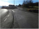
From the highway Ljubljana - Koper, we take the Postojna exit, and then continue driving in the direction of Ilirska Bistrica. When we arrive in Pivka, we leave the main road towards Ilirska Bistrica and continue driving in the direction of Knežak. Further on, we drive through Radohovo vas, Parje, Drskovče to Zagorje, where at the end of the settlement we turn right in the direction of the village Šilentabor. We park at the beginning of the road, on a suitable spot beside the road.
Route description:
From the starting point we continue on the road beside which we parked, and it gradually starts turning more and more to the right. From the road, which then ascends transversely among expansive pastures, increasingly beautiful views open up to us on the ridge of the Javorniki, Snežnik and surrounding villages. Higher up we arrive at a small crossroads, where a macadam road branches off to the left to the nearby church of St. Martin, while we continue straight on the asphalt road, along which we quickly arrive at a marked junction.
Here we continue right into the village Šilentabor (left Narin), passing a few houses to the spot where the marked path from Pivka also joins from the right.
Here we continue straight past the logbook box and transmitters and in a few minutes walk to the panoramic summit.
Photos:
 1
1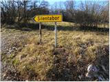 2
2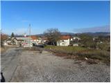 3
3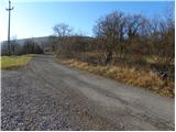 4
4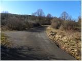 5
5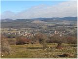 6
6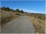 7
7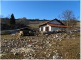 8
8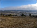 9
9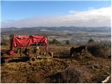 10
10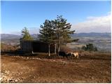 11
11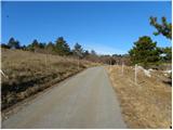 12
12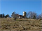 13
13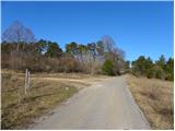 14
14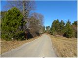 15
15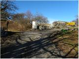 16
16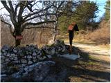 17
17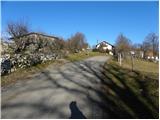 18
18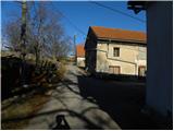 19
19 20
20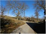 21
21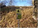 22
22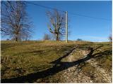 23
23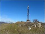 24
24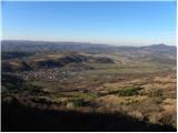 25
25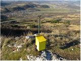 26
26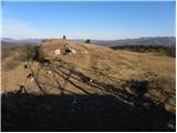 27
27 28
28 29
29
Discussion about the trip Zagorje - Šilentabor
To post a comment you must log in:
If you do not yet have a username, you must first
register.