Starting point: Zagrad (757 m)
| Latitude/Longitude: | 45,50584°N 14,05705°E |
| |
Walking time: 1 h 5 min
Difficulty: easy marked way
Elevation gain: 299 m
Elevation difference along the route: 300 m
Map: Slovenska Istra - Čičarija, Brkini in Kras 1:50.000
Recommended equipment (summer):
Recommended equipment (winter): ice axe, crampons
Views: 18.184
 | 1 person like this post |
Access to starting point:
From the Ljubljana - Koper motorway we take the Kozina exit and continue on the road towards Rijeka. We drive to the settlement Obrov, where signs for Golac direct us right onto a narrower road. This is followed by a 4 km drive to the settlement Golac, from where we continue following signs for the settlement Zagrad, which is a little more than 1 km away. There are no designated parking spaces in Zagrad, but it is possible to park on some widening on the outskirts of the settlement.
It is recommended to park already in Golac, which extends the walk by approximately 15 minutes.
Route description:
From the center of the settlement we continue left towards Ostrič (right Mala Plešivica, Velika Plešivica and Slavnik), where the road leads us southeast (in this section there are some parking possibilities), then mountain signs direct us right onto a cart track that begins to ascend gently at first. Further on the marked cart track begins to ascend moderately through the forest; when we leave the forest we ascend over scenic grassy slopes where there are only individual trees along the path, mostly pines. Here the path levels out, turns slightly to the right and brings us to a marked junction.
We continue on the right path towards Ostrič, Razsušica and Slavnik (left Ribnik), which begins to ascend towards an indistinct saddle between Ostrič on the left and the lesser-known Griža on the right. At the saddle we see a larger sinkhole ahead, where the cart track continues straight; we turn left onto the marked footpath that begins to ascend steeply over the grassy slope of Ostrič. We follow this path all the way to the exceptionally scenic Ostrič a few minutes away.
Zagrad - Silovica 0:45, Silovica - Ostrič 0:20.

Along the route: Silovica (953m)
Photos:
 1
1 2
2 3
3 4
4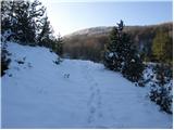 5
5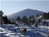 6
6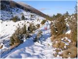 7
7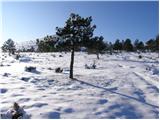 8
8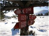 9
9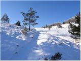 10
10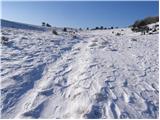 11
11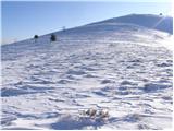 12
12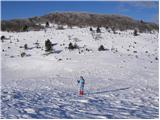 13
13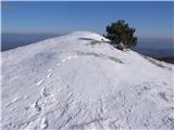 14
14
Discussion about the trip Zagrad - Ostrič
|
| klavdipo18. 04. 2012 |
Is there a stamp on this summit and also on Medvižica?
|
|
|
|
| B218. 04. 2012 |
No stamps anywhere! The path is wonderful - but beware! A bear can also be found...
|
|
|
|
| valerija11231. 12. 2018 |
Today we walked a nice circular path from Zagrad over Ostrič, Medvižica and Razsušica back to Zagrad. The paths are very well marked, there is a stamp on all three peaks.
HAPPY 2019
|
|
|
|
| bizgo9321. 02. 2021 |
Wonderful and fairly easy path except for the last steep ascent through juniper bushes, pines and past many karst sinkholes. From the top on a nice day there's a great view reaching much of western Slovenia, if we turn around we have Učka and some other peaks of Čičarija right at hand. Below the summit pasture horses will greet you with bells around their necks. If you descend from the top towards Slavnik you can also visit nearby Medvižica and Razsušica (Glavičorka) and return to Zagrad via the above-mentioned circular path. Great trip!
|
|
|
|
| ločanka6. 02. 2024 06:20:50 |
I strongly recommend a slightly longer loop than the one mentioned by bizgo93. Namely, an extension to Mala Plešivica, descent to Velika vrata and re-ascent to Velika Plešivica. Then you return back to the gates where you notice the Zagrad sign and from there it's about 45 min back to the parking lot. Total loop about six hours, but it's worth it if you're already in these parts . .
|
|
|
|
| Dejči10. 04. 2026 23:38:26 |
Today I was on Ostrič, now there's a stamp and a bench.
|
|
|
|
| Dejči10. 04. 2026 23:40:11 |
There's also a stamp on Razsušica.
|
|
|
To post a comment you must log in:
If you do not yet have a username, you must first
register.