Zagrad - Razsušica (via Ostrič)
Starting point: Zagrad (757 m)
| Latitude/Longitude: | 45,50584°N 14,05705°E |
| |
Route name: via Ostrič
Walking time: 2 h 5 min
Difficulty: easy marked way
Elevation gain: 326 m
Elevation difference along the route: 415 m
Map: Slovenska Istra - Čičarija, Brkini in Kras 1:50.000
Recommended equipment (summer):
Recommended equipment (winter): ice axe, crampons
Views: 15
 | 1 person like this post |
Access to starting point:
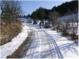
From the Ljubljana - Koper motorway we take the Kozina exit and continue on the road towards Rijeka. We drive to the settlement of Obrov, where signs for Golac direct us right onto a narrower road. This is followed by a 4 km drive to the settlement of Golac, from where we continue following signs for the settlement of Zagrad, which is a little more than 1 km away. There are no designated parking spaces in Zagrad, but it is possible to park on some widening on the outskirts of the settlement.
It is more advisable to park already in Golac, which extends the walk by approximately 15 minutes.
Route description:
From the center of the settlement we continue left towards Ostrič (right Mala and Velika Plešivica and Slavnik), where the road leads us southeast (in this section there are some parking possibilities), then mountain signs direct us right onto a cart track that begins to ascend gently at first. Further on the marked cart track begins to ascend moderately through the forest; when we leave the forest we ascend over scenic grassy slopes where only individual trees, mostly pines, stand along the path. Here the path levels out, turns slightly right and brings us to a marked junction.
We continue on the right path towards Ostrič, Razsušica and Slavnik (left Ribnik), which begins to ascend towards an indistinct saddle between Ostrič on the left and the lesser-known Griža on the right. At the saddle we see a larger sinkhole ahead, where the cart track continues straight; we turn left onto the marked footpath that begins to ascend steeply over the grassy slope of Ostrič. We follow this path all the way to the exceptionally scenic Ostrič a few minutes away.
From Ostrič we continue on the marked path that begins to descend moderately southwards, where lower down we reach pleasant meadows called Ovčji pašniki. Here we continue right; from the left a path joins that leads past the previously mentioned Ribnik. Further on the path gradually passes onto the wooded slopes of Griža, which we bypass on its left southern side, then reach the small valley between Razsušica, Medvižica and Griža. We continue through dense forest without major changes in elevation, then the path turns left and ascends to a clearing where a marked junction is located.
Here a path approximately 10 minutes long branches off to the right towards Medvižica; we continue slightly left towards Razsušica and Slavnik.
A few short ascents and descents follow, then we begin to ascend steeply towards the summit of Razsušica, which we reach without major difficulty.
Zagrad - Silovica 0:45, Silovica - Ostrič 0:20, Ostrič - Ovčji pašniki 0:05, Ovčji pašniki - razpotje pod Medvižico 0:30, razpotje pod Medvižico - Razsušica 0:25

Along the route: Silovica (953m),
Ostrič (1056m), Ovčji pašniki (1000m), Razpotje pod Medvižico (1054m)
Photos:
 1
1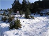 2
2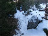 3
3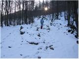 4
4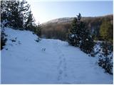 5
5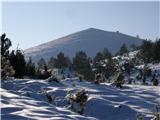 6
6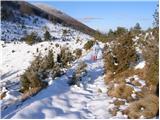 7
7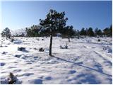 8
8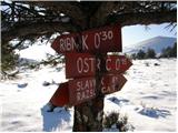 9
9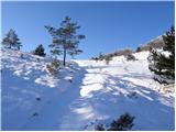 10
10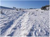 11
11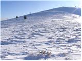 12
12 13
13 14
14 15
15 16
16 17
17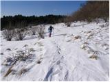 18
18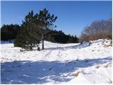 19
19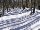 20
20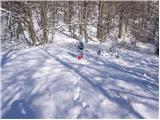 21
21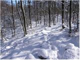 22
22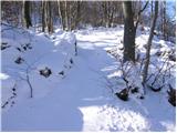 23
23 24
24 25
25
Discussion about the trip Zagrad - Razsušica (via Ostrič)
To post a comment you must log in:
If you do not yet have a username, you must first
register.