Zagrad - Razsušica (zahodna pot)
Starting point: Zagrad (757 m)
| Latitude/Longitude: | 45,50584°N 14,05705°E |
| |
Route name: zahodna pot
Walking time: 1 h 15 min
Difficulty: easy marked way
Elevation gain: 326 m
Elevation difference along the route: 330 m
Map: Slovenska Istra - Čičarija, Brkini in Kras 1:50.000
Recommended equipment (summer):
Recommended equipment (winter): ice axe, crampons
Views: 7.911
 | 1 person like this post |
Access to starting point:
From the Ljubljana - Koper motorway we turn at the Kozina exit and follow the road onwards in the direction of Rijeka. We drive to the settlement Obrov, where signs for Golac direct us right onto a narrower road. This is followed by a 4 km drive to the settlement Golac, from where we continue following signs for the settlement Zagrad, which is a little more than 1 km away. In Zagrad there are no designated parking spaces, but it is possible to park on some widening on the outskirts of the settlement.
It is more advisable to park already in Golac, which however extends the walk by approximately 15 minutes.
Route description:
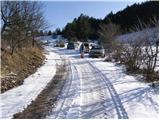
From the marked junction in the settlement Zagrad we continue on the right road, along which there are signs for Velika vrata, Slavnik and Mala and Velika Plešivica (left Ostrič). The path initially leads past a few houses, then ascends transversely into the forest, where the poorer road makes some switchbacks, and we ascend along it to the turning area (along the road there are still some parking possibilities, but the road is quite poor), where the markings lead us left onto a clearing, from there we continue upwards along the track. Further on the ascent follows first the western slopes of the peak Čičer, higher up the north-western slopes we reach the marked junction.
From the junction we go left in the direction of Razsušica and Medvižica (right Mala and Velika Plešivica and Slavnik) and continue the transverse ascent through the forest.
Further on the path is well marked, but becomes steeper, and we ascend along it to the summit of Razsušica, from where a beautiful view opens onto the neighbouring Medvižica.
Zagrad - junction Kičer 0:45, junction Kičer - Razsušica 0:30.

Along the route: Razpotje Kičer (924m)
Photos:
 1
1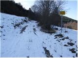 2
2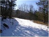 3
3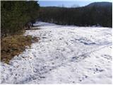 4
4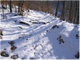 5
5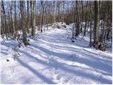 6
6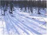 7
7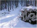 8
8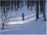 9
9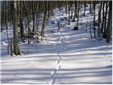 10
10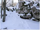 11
11 12
12
Discussion about the trip Zagrad - Razsušica (zahodna pot)
To post a comment you must log in:
If you do not yet have a username, you must first
register.