Zagreb (Gračani) - Sljeme (Leustekova steza)
Starting point: Zagreb (Gračani) (280 m)
Route name: Leustekova steza
Walking time: 2 h 15 min
Difficulty: easy marked way
Elevation gain: 753 m
Elevation difference along the route: 753 m
Map:
Recommended equipment (summer):
Recommended equipment (winter):
Views: 3.778
 | 2 people like this post |
Access to starting point:
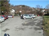
From the highway, take the Zagreb - west exit, then in Novi Zagreb at the roundabout by the Billa shopping center continue driving east to the next roundabout, where we turn towards Zagreb - center. Continue over the bridge on the Sava and we are on Marina Držića street. Go straight through the underpass, past the bus stop and under the railway tracks all the way to Kvaternik Square. Here we turn left west on Vlaška street. Vlaška street will start ascending after a slight right bend, we go straight. Vlaška street turns into Medveščak road and becomes two-lane. Drive to the traffic-light intersection, where we follow the signs for Gračani (there are also signs for ski slopes on Sljeme by the road). Now we drive gently uphill through Gračani. After speed bumps, we will see the entrance to the parking lot on the left (This parking lot is at the tram line terminus, which ends at the top of Gračani. If we turn too late, there will be a short row of obstacles - poles - in the middle of the road ahead). I recommend leaving the vehicle here, because the parking lots in Bliznec are always crowded and it is almost impossible to find a free parking spot.
Zagreb is quite orientationally demanding. I recommend using a map and navigation.
Route description:
From the parking lot, we go down the stairs and then continue along Nad tunelom street. The path along the street ascends in two bends and enters the forest (it is also possible to choose the variant through the tunnel - in this case we will be on asphalt longer and the path is also more orientationally demanding).
Through the forest we climb a few stairs and then cross the next road (if we went through the tunnel, we return to the path here). After crossing, when we reach the bunker, the path flattens. The flat section is usually quite muddy. The path then moves from the eastern to the western slope, where we notice a rest area on the left, and from the right, an unmarked path from the Bliznec parking lot joins us.
From here, our path, which so far had the marking of path no. 17, joins path no. 14, which starts in Gračec-Pustodol. A little after this junction, the path splits into two parallel paths. In rain and mud, I recommend the upper narrower path. Both paths merge at the next junction, where there is also a rest area. Here, to the left, the path to the abandoned sanatorium Brestovac branches off, we continue straight.
The path now begins to ascend gently along a wider forest path, during the ascent we pass a small spring where the path is more muddy, and we cross three streams over small bridges. The path brings us after the third bridge to the Adolfovac shelter, where we can rest. We are about halfway here.
From Adolfovac we go further through a short belt of spruce forest, the path temporarily takes us to a clearing. This is the only place where we can miss the path - when we reach one of the bends of the Sljeme road, we go back, or just before the bend left onto the clearing. The path across the clearing brings us back to the road, which we cross and are in the forest again.
In the forest we walk along a wider path, the forest is somewhat sparser in this section. The path further leads us past an information board and past another rest area. When we reach the next bend of the Sljeme road, we are at the next junction. To the right along the road goes the path to the Runolist mountain hut, we go straight onto the wide hiking path.
From here the path begins to ascend more steeply and takes us to an exposed section, where a fence helps us. On this part of the path, the ground is somewhat more rocky. When the fence ends, the path flattens, and we are in a belt of sparse and low forest. The path a little further takes us back into the forest, where it leads past a spring and then past a stone abandoned rest area. Just a little further we step onto wooden stairs, which take us to the road (Leustekova steza officially ends here).
We continue right on the asphalt and quickly reach the Stara lugarnica mountain hut, where many hikers also end their ascent. On the next stairs we go right from the old lugarnica and the path takes us to Činovničko livado, where we go up (attention - livado is a ski slope in winter!) and reach a junction of numerous paths. We continue on path no. 1. Path no. 1 quickly ascends, crosses the ski slope and after a minute or two of further walking takes us to the top of Sljeme, where there is a huge TV tower. For the view, we need to go a little further to the Vidikovac restaurant, from where an excellent view to the north opens up.
The path is named after Albin Leustek, who wanted to make such a path to Sljeme that anyone can walk it. Leustek is also buried on Medvednica near the Runolist mountain hut. This is the most visited path from Zagreb and there are often quite a few people on it.

Photos:
 1
1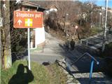 2
2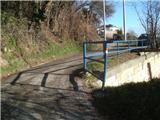 3
3 4
4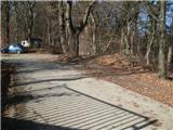 5
5 6
6 7
7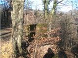 8
8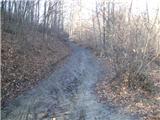 9
9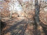 10
10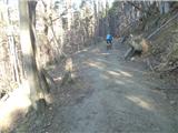 11
11 12
12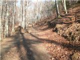 13
13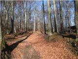 14
14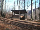 15
15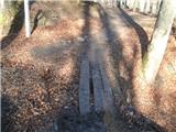 16
16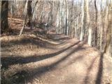 17
17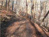 18
18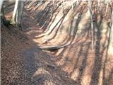 19
19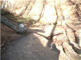 20
20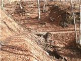 21
21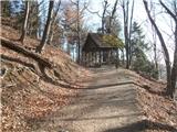 22
22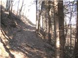 23
23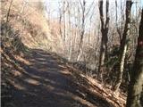 24
24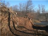 25
25 26
26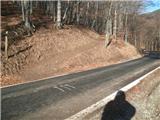 27
27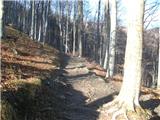 28
28 29
29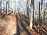 30
30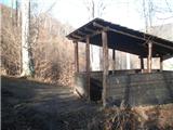 31
31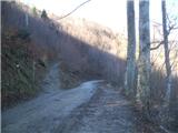 32
32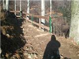 33
33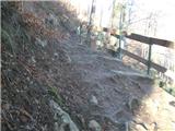 34
34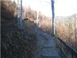 35
35 36
36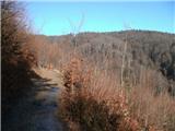 37
37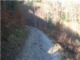 38
38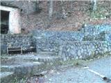 39
39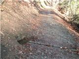 40
40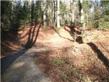 41
41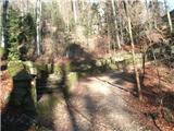 42
42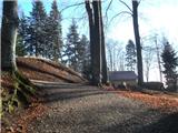 43
43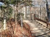 44
44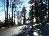 45
45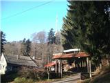 46
46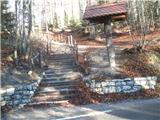 47
47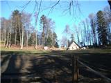 48
48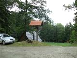 49
49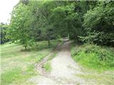 50
50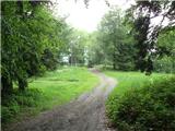 51
51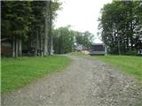 52
52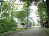 53
53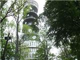 54
54
Discussion about the trip Zagreb (Gračani) - Sljeme (Leustekova steza)
To post a comment you must log in:
If you do not yet have a username, you must first
register.