Zagreb (Šestine) - Sljeme (via Kraljičin zdenac on Mrcina)
Starting point: Zagreb (Šestine) (430 m)
Route name: via Kraljičin zdenac on Mrcina
Walking time: 1 h 45 min
Difficulty: easy marked way
Elevation gain: 603 m
Elevation difference along the route: 620 m
Map:
Recommended equipment (summer):
Recommended equipment (winter): crampons
Views: 5.997
 | 2 people like this post |
Access to starting point:
The best way to reach Zagreb is from the south side at the Buzin junction entrance (here south goes the road to Velika Gorica and the airport). When you approach the large traffic light, turn right (traffic light), then at the roundabout towards Zagreb-center (north). You will arrive at Marina Držića street along which you go straight. There will be a bus stop along the way. After the railway underpass, you go slightly left at the traffic lights (this street has an avenue), but at the next intersection right (this is now Bauerova street). Continue straight until you reach Vlaška street.
Now turn left to the west and just follow Vlaška street, which turns into the dual carriageway Medveščak. Here you will spot the first arrows with Šestine markings.
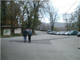
To Šestine the road gently ascends. When the road reaches the highest point and starts descending, go right and after a minute you arrive at the large parking lot of restaurant Lagvić. Park here or nearby.
Route description:
From the parking lot go uphill past the Lagvić restaurant. A minute after the restaurant spot a wooden shelter. Here our path branches off the asphalt and goes slightly downhill then for a while level through the forest. All the time you are above the Kraljevec stream. Our path goes increasingly into the stream gorge. After crossing the bridge our path begins to ascend more steeply, aided by steps and railing. When you step out of the gorge the path levels again, the stream is on the left side, and you are again near the road. The level path after the level section takes you to the rest area at the Kraljičin zdenac pond where you can rest and refresh.
From Kraljičin zdenac path 48 first branches off upwards to Elvirina pot (thus avoiding the ascent on Mrcina), you continue towards Tomislavov dom. Our path now has number 1. The path is level for a while longer then begins to ascend increasingly through a belt of pine forest.
After the pine forest there is a smaller level section then the path takes you from the forest to the "most demanding" part of the path - ascent over Mrcina (thus hikers named this slope). On Mrcina the problem is the surface which is extremely muddy when wet, when dry gravelly and also stony. On Mrcina you will steeply ascend in a few switchbacks to the summit ridge. When you reach the dense forest the steepness will ease increasingly, the path will gradually level and you will enter sparse and tall forest.
Here you will cross a wide forest road and again be in a shorter belt of dense forest. An ascent follows in switchbacks through sparse forest which takes you to the road and Tomislavov dom. Here somewhere is also the 1000 m.a.s.l. contour.
Now go along the road to the parking by Tomislavov dom and ascend the stone staircase. The path takes you to pension Zlatni Medvjed. Go uphill and after a minute you are under the TV transmitters located on top of Sljeme.

Photos:
 1
1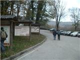 2
2 3
3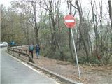 4
4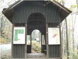 5
5 6
6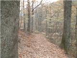 7
7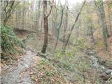 8
8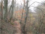 9
9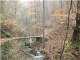 10
10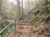 11
11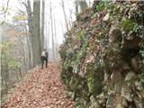 12
12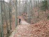 13
13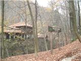 14
14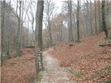 15
15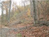 16
16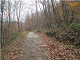 17
17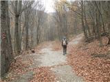 18
18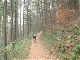 19
19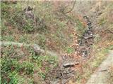 20
20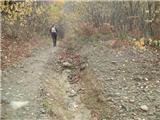 21
21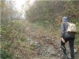 22
22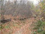 23
23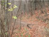 24
24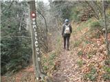 25
25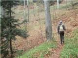 26
26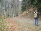 27
27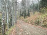 28
28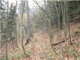 29
29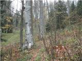 30
30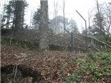 31
31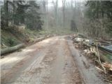 32
32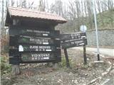 33
33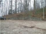 34
34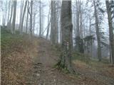 35
35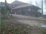 36
36 37
37
Discussion about the trip Zagreb (Šestine) - Sljeme (via Kraljičin zdenac on Mrcina)
To post a comment you must log in:
If you do not yet have a username, you must first
register.