Zalog pri Cerkljah - Ambrož pod Krvavcem
Starting point: Zalog pri Cerkljah (359 m)
| Latitude/Longitude: | 46,23070°N 14,51800°E |
| |
Walking time: 3 h 20 min
Difficulty: easy marked way
Elevation gain: 726 m
Elevation difference along the route: 755 m
Map:
Recommended equipment (summer):
Recommended equipment (winter): ice axe, crampons
Views: 969
 | 1 person like this post |
Access to starting point:
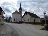
A) From the highway Ljubljana - Jesenice we go to the exit Vodice, and then we continue driving towards Vodice, where at the traffic-light intersection we continue left in the direction of Brnik. When Vodice ends, the road leads us through the forest, after the forest ends, we quickly arrive at the spot where from the main road to the right the road towards Lahovče and Zalog pri Cerkljah branches off. When in Lahovče we reach the main road Mengeš - Kranj, we only cross it and continue driving on a somewhat narrower local road which leads us through the settlement. Through Lahovče we continue on the main road, and then past the pond Lahovče we arrive at Zalog pri Cerkljah, where when we reach the main road Komenda - Cerklje na Gorenjskem, we continue left, then a few tens of meters ahead, before the church right in the direction of Cerkljanska Dobrava, Šmartno and Glinje. We park behind the church on the arranged parking lot opposite the fire station.
B) From Trzin or Domžale we drive to Mengeš, from there we continue driving towards Kranj. At the main traffic-light intersection in Moste we turn right towards Kamnik, then immediately left in the direction of Komenda. Further we drive through Komenda to the roundabout, from which we continue driving in the direction of Klanec. Behind the parish church Komenda ends, then through the settlement Klanec we drive to the settlement Zalog pri Cerkljah, where before the church we continue right in the direction of Cerkljanska Dobrava, Šmartno and Glinje. We park behind the church on the arranged parking lot opposite the fire station.
C) First we drive to Kamnik, then we continue driving towards Kranj. When we arrive at Moste, just before the main traffic-light intersection we turn right towards Komenda. Further we drive through Komenda to the roundabout, from which we continue driving in the direction of Klanec. Behind the parish church Komenda ends, then through the settlement Klanec we drive to the settlement Zalog pri Cerkljah, where before the church we continue right in the direction of Cerkljanska Dobrava, Šmartno and Glinje. We park behind the church on the arranged parking lot opposite the fire station.
D) From the highway Jesenice - Ljubljana we go to the exit Kranj - east, then we continue driving towards Brnik and Mengeš. In Lahovče we leave the main road towards Mengeš and continue driving left in the direction of Zalog. The road ahead leads us on a somewhat narrower local road which leads us through the settlement. Through Lahovče we continue on the main road, then past the pond Lahovče we arrive at Zalog pri Cerkljah, where when we reach the main road Komenda - Cerklje na Gorenjskem, we continue left, then a few tens of meters ahead, before the church right in the direction of Cerkljanska Dobrava, Šmartno and Glinje. We park behind the church on the arranged parking lot opposite the fire station.
Route description:
From the church we continue on the road towards Glinje and Cerkljanska Dobrava, at the intersection a little further we turn right in the direction of Cerkljanska Dobrava. The path ahead leads us past more houses, then the road passes into the forest, where we soon arrive at the spot where signs for Šenturška Gora direct us left onto an initially completely flat footpath. The path ahead leads us past a wooden hut, behind which it begins to ascend gently. A gentle ascent follows on the path that leads us across several junctions, where we follow the marked path. A gently to moderately steep path that runs along small paths and cart tracks, but higher up it flattens out completely and brings us past the memorial plaque to the spot where the path from Komenda joins from the right.
We continue straight on the marked path, which continues without major changes in elevation, or even descends slightly. A little further we cross a macadam road, then we begin to ascend on an exemplarily maintained mountain path. Higher up the path quickly joins a wide logging trail, along which we continue the ascent to a sort of ridge, where it turns right. The cart track soon turns into a footpath, which begins to ascend quite steeply on a relatively steep slope. When we pass this steep section we join a macadam road, which we follow to the right, along which we quickly step out of the forest onto panoramic grassy slopes below Šenturška Gora. A few minutes of scenic walking on the macadam road follow, then we reach an asphalt road, which we follow to the right, along which we soon arrive at the farm tourism Pavlin.
From the farm tourism we continue on the asphalt road for some time, then we arrive at the central part of the village, where in front of the Krajevni dom we turn right twice. A short ascent past the chapel follows and the road brings us to the church of St. Urh on Šenturška Gora.
From the church we return to the community hall and continue on the asphalt road that continues eastwards towards Sidraž. After a few minutes of walking on the asphalt road the settlement Šenturška Gora ends, and just a few steps further we arrive at a marked intersection.
From the intersection we continue on the left road in the direction of St. Lenart, from it we immediately go left in the direction of St. Ambrož and Krvavec, thus bypassing the nearby playground on the left side. Markings and signs for Martinova pot direct us onto the path that ascends beside the playground and above it enters the forest through which it ascends to the spot where we return to the road.
We continue on the road which makes a right serpentine (at the end of the bend Martinova pot branches off slightly to the left), then we ascend transversely along it through the forest. Higher up the forest thins out and we arrive at a marked junction before the hamlet Jagošci.
We continue left in the direction of Krvavec and St. Ambrož (straight to mountain pasture Osredek, Kamniški vrh and also Ambrož pod Krvavcem via Jagošci), where markings direct us onto a cart track along which we ascend along the edge of the forest. A little higher the cart track forks, we go left where we ascend through a belt of bushes and forest, then arrive at the next hayfields, where we continue along the left edge. For a few minutes we ascend on a poorer path that leads us along the edge of the forest, then at the tourist farm Pr Dovar we reach the asphalt road.
We continue transversely to the right, at the nearby houses the road ends and behind them we continue on the cart track that ascends transversely across a panoramic hayfield. When the cart track turns right, we leave it and continue a little further to the right on the marked path which begins to ascend more steeply on the grassy slope. An ascent on the panoramic grassy slope follows, the little path slowly turns somewhat to the right, so that in the transverse ascent we reach the little church of St. Ambrož and the Tourist farm Pr Ambružarju.
Zalog pri Cerkljah - Šenturška Gora 2:00, Šenturška Gora - Ambrož pod Krvavcem 1:20.

Along the route: Šenturška Gora (671m)
Photos:
 1
1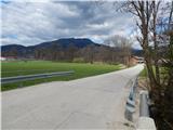 2
2 3
3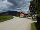 4
4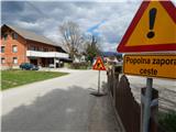 5
5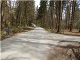 6
6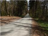 7
7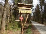 8
8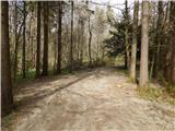 9
9 10
10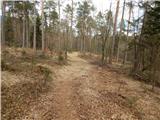 11
11 12
12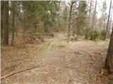 13
13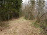 14
14 15
15 16
16 17
17 18
18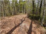 19
19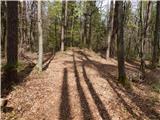 20
20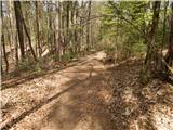 21
21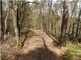 22
22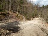 23
23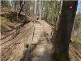 24
24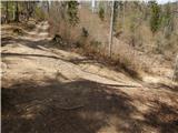 25
25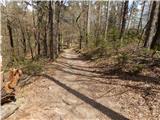 26
26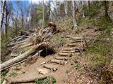 27
27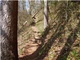 28
28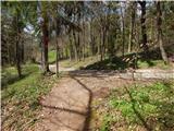 29
29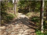 30
30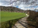 31
31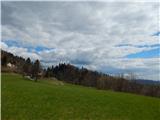 32
32 33
33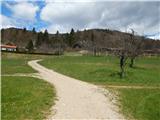 34
34 35
35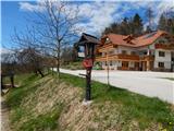 36
36 37
37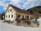 38
38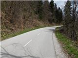 39
39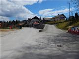 40
40 41
41 42
42 43
43 44
44 45
45 46
46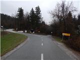 47
47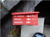 48
48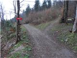 49
49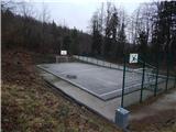 50
50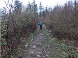 51
51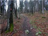 52
52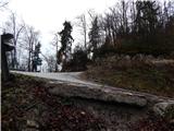 53
53 54
54 55
55 56
56 57
57 58
58 59
59 60
60 61
61 62
62 63
63 64
64 65
65 66
66 67
67 68
68 69
69 70
70 71
71 72
72 73
73 74
74 75
75 76
76 77
77 78
78 79
79 80
80 81
81 82
82
Discussion about the trip Zalog pri Cerkljah - Ambrož pod Krvavcem
To post a comment you must log in:
If you do not yet have a username, you must first
register.