Starting point: Zaloše (389 m)
| Latitude/Longitude: | 46,30430°N 14,24610°E |
| |
Walking time: 25 min
Difficulty: easy unmarked way
Elevation gain: 85 m
Elevation difference along the route: 90 m
Map: Karavanke - osrednji del 1:50.000
Recommended equipment (summer):
Recommended equipment (winter): ice axe, crampons
Views: 717
 | 1 person like this post |
Access to starting point:
A) From the Ljubljana - Jesenice highway at the Podtabor junction, we head towards Tržič and Ljubelj, then immediately leave the fast road and turn right towards Zvirče and Kropa. From the roundabout, we take the second exit towards Podbrezje and Kropa; in Podbrezje, we turn right towards Radovljica, Kropa and Podnart. We continue towards Radovljica, but soon turn sharply left towards Podnart and Kropa. There follows some descent, then we cross the Sava River; after the bridge, we arrive in Podnart, where we turn right and follow the signs for Zaloše. When we arrive in Zaloše, the described path begins at the smaller crossroad where there is a religious symbol. There are no arranged parking spaces at the starting point.
B) From the Jesenice - Ljubljana highway, we take the Brezje exit, then follow the signs for Kropa and Podnart. When we reach the Posavec settlement, we turn right towards Otoče, where we cross the bridge over the Sava River; after the railway track, we turn left and drive to the neighbouring settlement of Zaloše, where the described path begins at the smaller crossroad where there is a religious symbol. There are no arranged parking spaces at the starting point.
Route description:
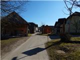
From the crossroad at the religious symbol, we go on a side road, and there we ascend past a few houses to the last house. From the last house, we continue on a cart track which passes into the forest, and at the crossings we stick to the right turn-offs. Higher, the signs for Stovc point us even a little more to the right, and then we diagonally ascend over a short steep slope.
On the top of the steep part, we continue slightly right, and then on a gently sloping path we quickly reach the inscription box on Stovc, and a few steps ahead also a nice viewpoint.
Description and pictures refer to the condition in February 2020.
Photos:
 1
1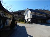 2
2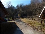 3
3 4
4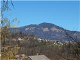 5
5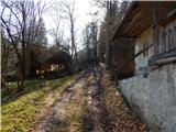 6
6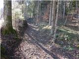 7
7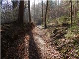 8
8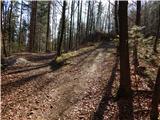 9
9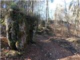 10
10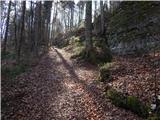 11
11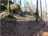 12
12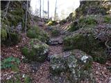 13
13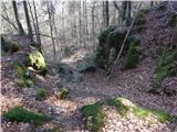 14
14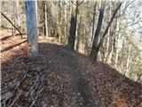 15
15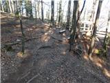 16
16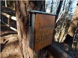 17
17 18
18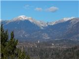 19
19
Discussion about the trip Zaloše - Stovc (Stolec)
To post a comment you must log in:
If you do not yet have a username, you must first
register.