Starting point: Zamost (315 m)
| Latitude/Longitude: | 45,52723°N 14,68013°E |
| |
Walking time: 10 min
Difficulty: easy marked way
Elevation gain: 35 m
Elevation difference along the route: 35 m
Map:
Recommended equipment (summer): helmet
Recommended equipment (winter): helmet
Views: 78
 | 1 person like this post |
Access to starting point:
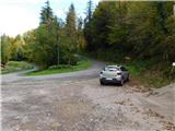
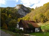
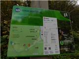
First we drive to Osilnica, then via the former small border crossing Osilnica (Zamost) we drive to Croatia. Here we go left (right Čabar) and a little further, in the middle of the settlement Zamost right towards the settlement Mali Lug. We continue past a few houses and Selankine's mill, but when the road a little further makes a left hairpin turn, we park at a suitable place at the intersection. At the starting point we notice signs for Izvor Gerovčice.
Route description:
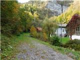
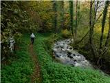
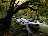
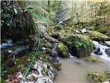
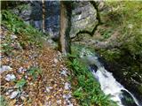
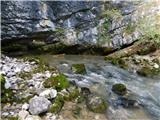
From the starting point we head onto the initially wide path following the signs for Izvor Gerovčice, from where we already see the wall ahead, from under which the stream emerges. The path first leads us past a few houses standing on the opposite bank, then the poorer road ends. We continue the path along the trail that runs on the left side of the river (right bank). After a few minutes of walking the gorge narrows, and on a short section a narrower steel cable wrapped with adhesive tape helps us. Only a little ascent follows and we arrive under the wall at the source of Gerovčice.
Warning: At the source itself under the wall there is a risk of falling rocks, which is greatest in spring and after heavier rainfall.
The description and pictures refer to the situation in October 2026.
Photos:
 1
 2
 3
 4
 5
 6
 7
 8
 9
 10
 11
 12
 13
Discussion about the trip Zamost - Izvor Gerovčice
To post a comment you must log in:
If you do not yet have a username, you must first
register.