Starting point: Zatrnik (880 m)
| Latitude/Longitude: | 46,36820°N 14,03340°E |
| |
Walking time: 2 h
Difficulty: easy unmarked way
Elevation gain: 385 m
Elevation difference along the route: 450 m
Map: TNP 1:50.000
Recommended equipment (summer):
Recommended equipment (winter): ice axe, crampons
Views: 4.340
 | 1 person like this post |
Access to starting point:
A) We drive to Bled, then continue driving in the direction of Pokljuka. When we arrive at Zatrnik, we do not park in the parking lot next to the inn Gostilna Zatrnik, but about 100 meters further on in the parking lot on the right side of the road. Parking in the parking lot in front of the inn is permitted only to guests of the inn Gostilna Zatrnik (pr Jagru).
B) We leave the Gorenjska motorway at the Lipce exit, then follow the signs for the settlement Kočna and later Spodnje Gorje. In Spodnje Gorje we join the road from Bled, but we continue in the direction of Pokljuka. When we arrive at Zatrnik, we do not park in the parking lot next to the inn Gostilna Zatrnik, but about 100 meters further on in the parking lot on the right side of the road. Parking in the parking lot in front of the inn is permitted only to guests of the inn Gostilna Zatrnik (pr Jagru).
Route description:
From the parking lot by the main road, we descend to the parking lot by the inn Pr Jagru, but we find the start of the path in a smaller valley where there are two children's ski tows in winter. We continue along the ski area or the ski slope Bambi (right ski tow), then, when the ski tow ends, continue the ascent along the route of the former ski slope. The path continues along the ski slope, which higher up turns increasingly to the left. Soon a steep ski slope branches off to the left, but we continue along the gentler right ski slope. When the route of the former ski slope temporarily flattens even more, a path branches off to the right, descending through a narrow strip of forest, then leading us to a marshy meadow. We continue across the meadow to the nearby cottage, where we step onto a wider cart track.
From the cottage we continue left into the forest and ascend diagonally along the cart track to the macadam road, which we follow to the right. Along the road we first descend slightly, then the road continues with some shorter ascents and descents; while walking along the road we cross the route of the marked path Bled (Zaka) - Pokljuka.
A little further a nice view of Lake Bled opens up, and the road ahead ascends mostly gently to moderately. When the road brings us to a meadow after a longer right bend, we leave it just before the feeder and continue right onto the often quite rutted cart track. At the first junction of cart tracks we choose the left, at the second the right branch, in both cases the wider cart track. When the cart track, or tow path, flattens, slightly to the left of the cart track we notice a small path that continues parallel above the cart track. Some 10 steps further another path joins from the right, which branches off from the cart track a little further ahead, and along the path running through the forest we continue to a small saddle, where we join another cart track, along which we quickly ascend to the macadam road, which we follow to the left. While walking along the road, the marked path from Bohinjska Bela – path over Slamniki – joins from the left. Here a few steps further, just a little before the NOB memorial, a path branches off straight ahead or slightly to the left to the Turn (1249 m) a few minutes away, but we continue right along the marked path, which continues along the road.
At the next junction, located not far away, we leave the road and continue left along the path in the direction of Galetovec (straight Belska planina).
The path ahead leads us along a pleasant cart track, which we leave after a few minutes as the signs for Galetovec direct us left onto an initially poorly noticeable path that descends along the edge of the forest to a smaller valley, where it enters the forest. Through the forest we follow the blazes and the forest path, along which in a few minutes we ascend to the panoramic summit.
Description and pictures refer to the condition in 2017 (May).

Photos:
 1
1 2
2 3
3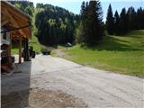 4
4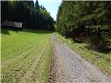 5
5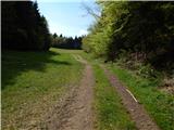 6
6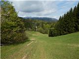 7
7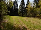 8
8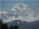 9
9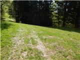 10
10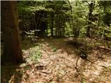 11
11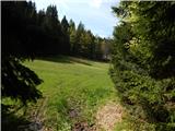 12
12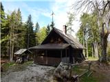 13
13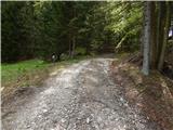 14
14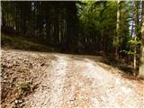 15
15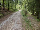 16
16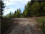 17
17 18
18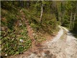 19
19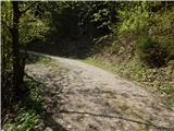 20
20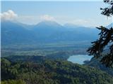 21
21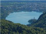 22
22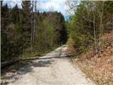 23
23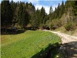 24
24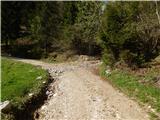 25
25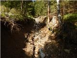 26
26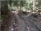 27
27 28
28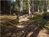 29
29 30
30 31
31 32
32 33
33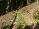 34
34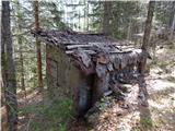 35
35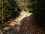 36
36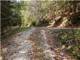 37
37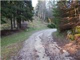 38
38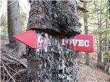 39
39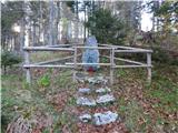 40
40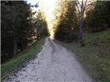 41
41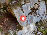 42
42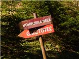 43
43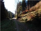 44
44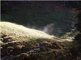 45
45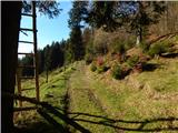 46
46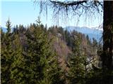 47
47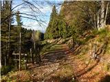 48
48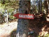 49
49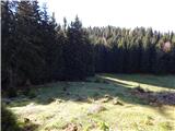 50
50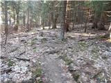 51
51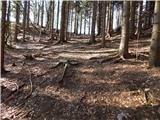 52
52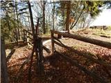 53
53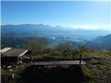 54
54 55
55
Discussion about the trip Zatrnik - Galetovec
To post a comment you must log in:
If you do not yet have a username, you must first
register.