Zavetišče na planini Šija - Veliko Kladivo (direct way)
Starting point: Zavetišče na planini Šija (1528 m)
| Latitude/Longitude: | 46,42480°N 14,33540°E |
| |
Route name: direct way
Walking time: 1 h 30 min
Difficulty: easy unmarked way, partly demanding marked way
Elevation gain: 566 m
Elevation difference along the route: 566 m
Map: Karavanke - osrednji del 1:50.000
Recommended equipment (summer):
Recommended equipment (winter): ice axe, crampons
Views: 34.739
 | 3 people like this post |
Access to starting point:
From the Ljubljana - Jesenice motorway we take the Ljubelj exit. We then drive to the centre of Tržič and follow the road through Dolžanova soteska to the village of Jelendol, where signs for the Kofce, Šija and Pungrat pastures direct us left. The road then loses its asphalt surface and begins to climb steeply. At intersections we follow this road in the direction of the Pungrat and Šija pastures. We park in the car park near the Zavetišče na planini Šija.
Route description:
SAFETY WARNING: The path runs across steep grassy slopes where there is a high risk of slipping, especially when wet. As the terrain is unmarked, the path is not suitable for less experienced hikers and children. In wet conditions, dew or fog the ascent can be dangerous.
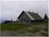
From the Zavetišče na planini Šija we walk back a few steps along the road, then take the footpath towards Kladivo. The path climbs moderately for a few dozen steps, then continues parallel to the nearby road. A little further on we reach a larger grazing area where the trail temporarily disappears, but if we keep to the middle of the meadow there are no major orientation problems. On the other side of the pasture we again see signs for Kladivo, which direct us slightly left into a strip of sparse forest. Here the path becomes clearer again, but it gradually begins to climb more steeply. Higher up the forest thins out even more and the path turns right onto increasingly steep grassy slopes, across which we then ascend transversely. The occasionally steeper path crosses a few patches of dwarf pine, then turns a little more to the left where it begins to climb steeply towards an indistinct saddle between Mali and Veliki Kladivo.
When the increasingly scenic path reaches the main ridge we join the marked path and follow it right towards Veliki Kladivo (left Mali Kladivo and Veliki vrh). The path ahead first climbs transversely across an increasingly steep slope, then turns left where it ascends a short steep rocky slope. The path then levels out for a few metres, crosses steep grass and then begins to climb towards the summit, which we reach after a further 5 minutes of walking.

Photos:
 1
1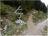 2
2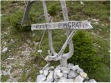 3
3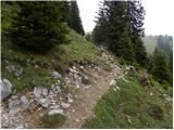 4
4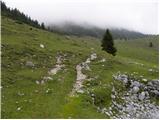 5
5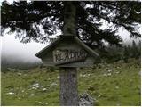 6
6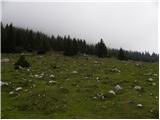 7
7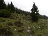 8
8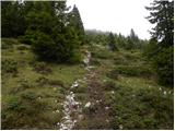 9
9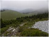 10
10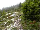 11
11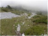 12
12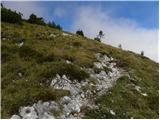 13
13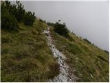 14
14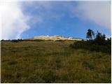 15
15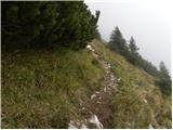 16
16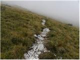 17
17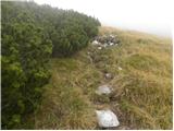 18
18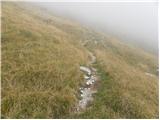 19
19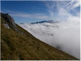 20
20 21
21 22
22 23
23 24
24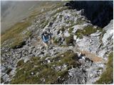 25
25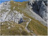 26
26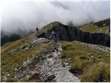 27
27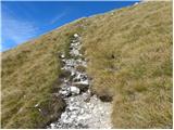 28
28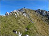 29
29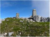 30
30 31
31
Discussion about the trip Zavetišče na planini Šija - Veliko Kladivo (direct way)
|
| astronom3. 12. 2015 |
I made a wonderful trip on this path already on 12.11. this year and in short clothing! Continued to Toplar and back to Šija. Someone stole the stamp and logbook at the summit, which I won't comment on. I reported it to PD Tržič, but they don't think it's worth replying. I'm not a stamp collector, but I like to have it as a souvenir with the date of visit and more... Please, if anyone has it, scanned or otherwise, let me know or send it to fizmatus1105@gmail.com. Thanks and best regards!
|
|
|
|
| Kofce7. 01. 2016 |
All stamps of the summits in Košuta you can find in Dom na Kofcah! Best regards
|
|
|
|
| Miha1510. 01. 2017 |
The scout hut on Planina Šija or Shelter on Planina Šija is open all weekends and holidays regardless of the weather during the summer season from 15.6-15.9 non-stop. We offer you hot drinks, refreshing drinks and home-made delicacies. Welcome
|
|
|
|
| Stiv5. 11. 2017 |
We went up this weekend and I wouldn't say this is a super easy path))). The path climbs very steeply and in the upper parts it's a bit dangerous, so I don't recommend it for walks with small children. Otherwise it's really nice in good weather!
|
|
|
|
| Darxta6. 11. 2017 |
Stiv, the word "easy" in this context is not meant as physically undemanding, but means that the path has no exposed terrain and aids (wire ropes, pegs). Steepness often does not play a role in defining difficulty in such cases.
Similarly, somewhere a path will be described as difficult, but only 20m are difficult, the rest without problems 
|
|
|
|
| Blazz097. 10. 2018 |
31.9.2018 with a 9-year-old child we climbed to the top of Veliko Kladivo. The trail is nice and not too demanding.
Only I would like to point out the Y junction in Jelendol where you have to turn left. Then you still have 9km of not very nice gravel road to the Šija shelter.
|
|
|
|
| nacka.7. 10. 2018 |
Blazz09, when did you climb Veliko Kladivo?
|
|
|
|
| tinky7. 10. 2018 |
Blazz, September has only 30 days.
|
|
|
|
| tango12. 05. 2022 18:11:45 |
Today from Pungart to Šija and then direct to the top of VK, back to Kofce gore, but due to pleasant weather and good spirits also to Veliki vrh. Return to Kofce and via Šija to Pungart. Path without features, a little snow below the summit which can be easily bypassed. Beautiful warm day and only a couple of hikers on the path from Kofce to Veliki vrh.
|
|
|
|
| ŠpRo2914. 05. 2022 21:18:24 |
Tango, did you park close to the shelter or much lower? I've already been to the pasture, but since I want to do a loop to Veliki vrh as well, I'm a bit short on time, I'm asking if it goes to the shelter?
|
|
|
|
| tango14. 05. 2022 22:37:01 |
Much lower, at the last turnoff for Pungrat from where the huts on the pasture are visible. Anyway, right after that on the road to Šija there was another 20-30 meter snow drift on the road, so it was impassable. Time-wise with photos and sightseeing less than 5 hours without rushing.
|
|
|
To post a comment you must log in:
If you do not yet have a username, you must first
register.