Zavodnje - Andrejev dom na Slemenu
Starting point: Zavodnje (638 m)
| Latitude/Longitude: | 46,42440°N 15,01630°E |
| |
Walking time: 1 h 30 min
Difficulty: easy marked way
Elevation gain: 448 m
Elevation difference along the route: 450 m
Map: Kamniške in Savinjske Alpe 1:50.000
Recommended equipment (summer):
Recommended equipment (winter):
Views: 5.200
 | 1 person like this post |
Access to starting point:
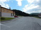
We drive to Šoštanj, and then we follow the signs for Črna na Koroškem. When we leave the valley we start ascending on a quite winding road which leads towards the mountain pass Sleme and Črna na Koroškem, and on the mentioned road we drive to the settlement Zavodnje, where we park on the arranged parking lot in the center of the place, near the parish church of St. Peter and Paul.
Route description:
At the starting point, we notice signposts for Uršlja gora and mountain hut Andrejev dom na Slemenu, which point us on the main road which continues towards Sleme. We continue for a short time along the main road, then at the first left turn after the settlement Zavodnje, we continue right across the hayfield to the nearby houses. At the houses, we cross the road, and then we continue along the edge of the forest. Higher up, we cross a strip of forest, where a cart track appears; when we step out of the forest, the path leads us past a nearby homestead. The path ahead leads us across an extensive meadow, and when we reach the asphalt road, we go left in the direction of Andrejev dom (right Radmanova žaga). Some 10 meters we continue along the road, then we go slightly right onto a cart track which enters the forest. There follows a shorter ascent through the forest, then the path brings us out of the forest, where it disappears on the meadows. We continue along the edge of the forest, and we bypass the houses on the lower side. Higher up, we reach the main road, along which we walk to the junction, where the signs for Andrejev dom direct us right; after a few steps, at the next junction we go left. The path ahead leads us past a few more houses, and behind the houses the road turns into a cart track. Higher up, we cross another narrower asphalt road, then the path leads us for a short time along a fairly overgrown trail. When we step out of the bushes onto the hayfields, a nice view opens up towards Šaleška dolina and Uršlja gora, and the path leads us past a few more houses, after which we cross the main road. On the other side of the road we continue right and parallel to the main road. There follows some ascent through the forest, then we reach the marked junction at the Orel homestead, where a marked path from Topolščica also joins from the left.
We continue right towards Uršlja gora and Andrejev dom and after 10 minutes of gentle ascent along a wide cart track we arrive at the mentioned mountain hut, from which a beautiful view opens up.
Description and pictures refer to the condition in 2018 (July).

Along the route: Šentvid pri Zavodnju (988m)
Photos:
 1
1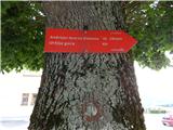 2
2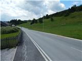 3
3 4
4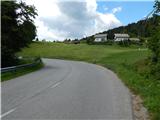 5
5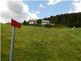 6
6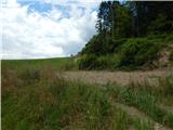 7
7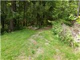 8
8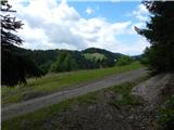 9
9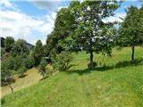 10
10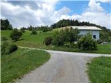 11
11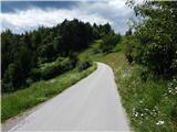 12
12 13
13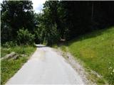 14
14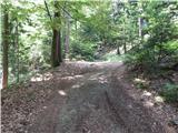 15
15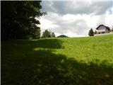 16
16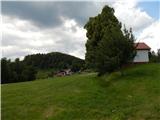 17
17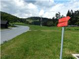 18
18 19
19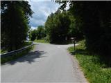 20
20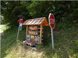 21
21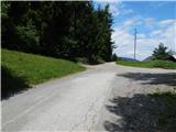 22
22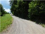 23
23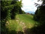 24
24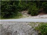 25
25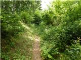 26
26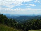 27
27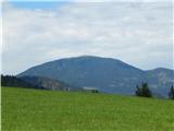 28
28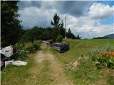 29
29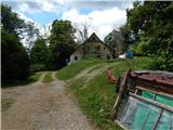 30
30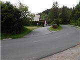 31
31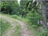 32
32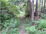 33
33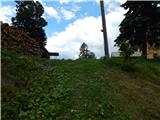 34
34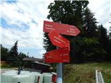 35
35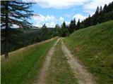 36
36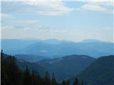 37
37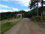 38
38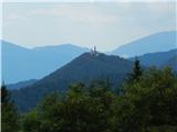 39
39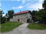 40
40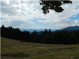 41
41
Discussion about the trip Zavodnje - Andrejev dom na Slemenu
To post a comment you must log in:
If you do not yet have a username, you must first
register.