Starting point: Zavratec (735 m)
| Latitude/Longitude: | 45,98950°N 14,13340°E |
| |
Walking time: 45 min
Difficulty: easy marked way
Elevation gain: 79 m
Elevation difference along the route: 110 m
Map:
Recommended equipment (summer):
Recommended equipment (winter):
Views: 1.650
 | 2 people like this post |
Access to starting point:
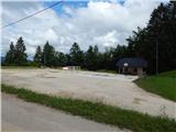
From Žirov we drive towards Logatec, but only to the hamlet Brnikov Log, where we continue right (from the direction of Logatec left) in the direction of Zavratec. Higher, in Spodnji Zavratec we arrive at a smaller intersection, where we continue left in the direction of Idrija and Godovič. When we arrive in Zgornji Zavratec, from the church we drive a little further, and then we park on the parking lot by the sports field.
Route description:
From the starting point, we continue on the road which passes into a lane of forest, and there we quite quickly start moderately descending. During the descent, the path leads us past a lonely house, and behind it the road gradually flattens, and a little further we again cross a lane of forest. When we again step out of the forest we get to the village Potok, where the path leads us past a few houses. When the village ends the road again starts ascending, and we continue on the macadam road. The road higher steeply ascends in two hairpin turns, and then we join the marked path or road.
We follow the mentioned road to the right, and there after good 100 m we get to the spot, where we join the asphalt road which we also follow to the left. Further, we walk on the asphalt road, that runs on a panoramic ridge and then past the fire station on Medvedje Brdo it brings us to a crossroad at the chapel. Here we continue right, and at the next crossroad left in the direction of open door farm Šinkovc. A short ascent follows and we already step on the summit of Medvedje Brdo, where on the left we notice military buildings of former JLA, and on the right side panorama board on Medvedje Brdo.

Along the route: Potok (730m)
Photos:
 1
1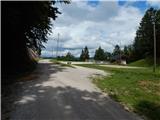 2
2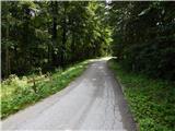 3
3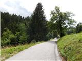 4
4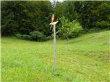 5
5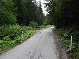 6
6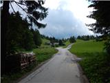 7
7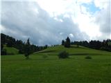 8
8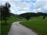 9
9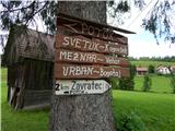 10
10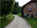 11
11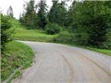 12
12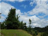 13
13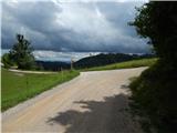 14
14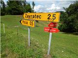 15
15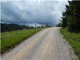 16
16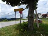 17
17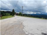 18
18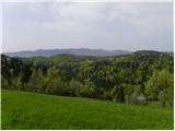 19
19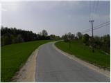 20
20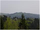 21
21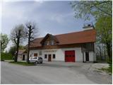 22
22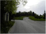 23
23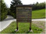 24
24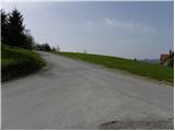 25
25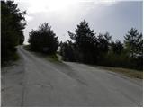 26
26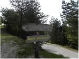 27
27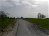 28
28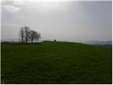 29
29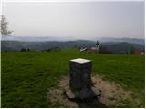 30
30 31
31
Discussion about the trip Zavratec - Medvedje Brdo
To post a comment you must log in:
If you do not yet have a username, you must first
register.