Žekovec - Boskovec (past Keber and Mozirska koča)
Starting point: Žekovec (500 m)
| Latitude/Longitude: | 46,35650°N 14,93100°E |
| |
Route name: past Keber and Mozirska koča
Walking time: 3 h 20 min
Difficulty: easy marked way
Elevation gain: 1087 m
Elevation difference along the route: 1100 m
Map: Kamniške in Savinjske Alpe 1:50.000
Recommended equipment (summer):
Recommended equipment (winter): helmet, crampons
Views: 12.608
 | 2 people like this post |
Access to starting point:
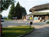
First, we drive to Mozirje, where at the roundabout we head in the direction of "Golte". After 4 km of driving, we arrive at the village Žekovec at the lower station of the Golte cableway and park there.
Route description:
The path starts there, where the one-way road at the bus stop turns left downwards. We go left on the road over Zagradiška puša. Soon the path from the road turns right over Zagradiška puša and after approx. 10 minutes joins the path past holiday cottages. The path then leads us on the road past the farm Kugler all the way to a cross on the right side of the road. At the cross the path turns left upwards into the forest. A little below the cross there is also a well with drinking water. A little higher we again cross the road twice, we go past the second cross and again come on the road. Here we go left on the meadow into the forest. A little higher we come at the sign for St. Radegunda to an asphalt road and continue left on it. Soon we are at farmer Kebru, where among buildings we turn right straight upwards on the meadow and thereby again cross the road. When we come higher into a thin forest, there is drinking water on the right side. A little higher we go on the pasture to the right and when the path past the NOB monument joins, we continue left past the cattle shed on the road to Golte, on which we go almost to Planinska Ravna. When on the right side we notice a short gully in which traces of a landslide are visible, we turn right into the forest. The path through the forest ascends moderately and after a few minutes brings us to a smaller junction, where we have two options for continuing. We can continue straight on the steep path or right on the gentle path. Both paths join after a few minutes and higher bring us to a nice vantage point, beside which a bench is placed. There follows only a good 10 minutes of moderate ascent to the Mozirska koča mountain hut.
From the hut we continue left on the road to the chapel, where the signs for Boskovec (Severjeva pot) direct us slightly right into the forest. After a few steps we cross the grazing fence to the right, continue upwards through the forest, cross a shorter slope, and then the path in a gentle ascent brings us to a poor forest road, which brings us to the branch-off to the vantage point on the valley (5 minutes), but we continue left on the road. After a few minutes a cart track branches off to the left upwards in the direction of Boskovec. The ascent on the cart track does not last long as the blazes quickly direct us right onto a footpath, which through locally quite overgrown sections of the path brings us to a clearing a little below the summit. We continue along the right side of the clearing, where the path quickly brings us into the forest and then to a junction. The signpost for Boskovec directs us right onto the path, which ascends moderately and after a few dozen steps brings us to the summit. On the summit there is a lookout tower that offers a nice view. We can return to the valley along the approach route or go along the Severjeva pot to the Mozirska koča mountain hut or the hotel at the upper station of the Golte cableway. There we decide whether we will descend on foot or go down to the valley by gondola. In the summer season at the Mozirska koča mountain hut we can view the alpine garden - alpinetum.

Photos:
 1
1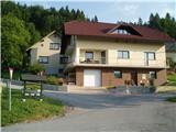 2
2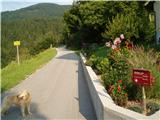 3
3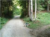 4
4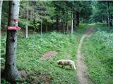 5
5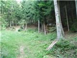 6
6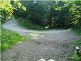 7
7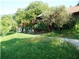 8
8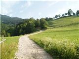 9
9 10
10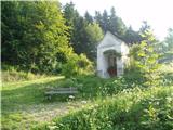 11
11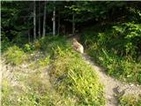 12
12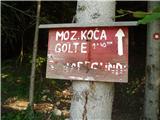 13
13 14
14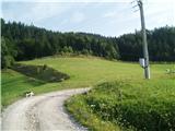 15
15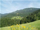 16
16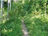 17
17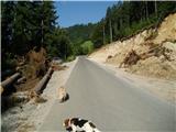 18
18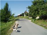 19
19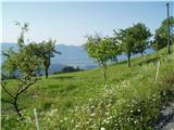 20
20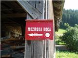 21
21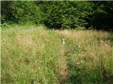 22
22 23
23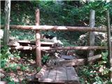 24
24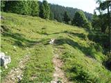 25
25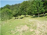 26
26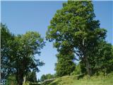 27
27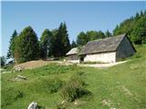 28
28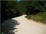 29
29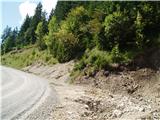 30
30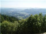 31
31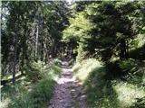 32
32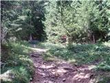 33
33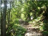 34
34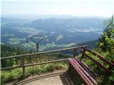 35
35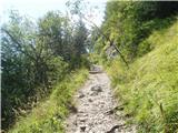 36
36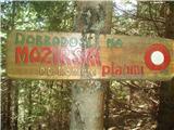 37
37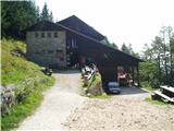 38
38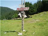 39
39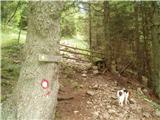 40
40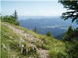 41
41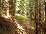 42
42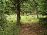 43
43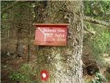 44
44 45
45 46
46 47
47 48
48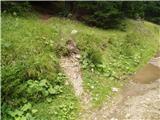 49
49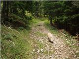 50
50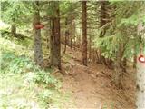 51
51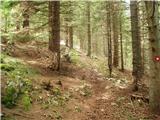 52
52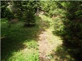 53
53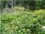 54
54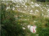 55
55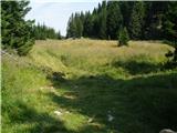 56
56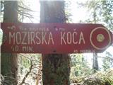 57
57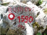 58
58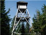 59
59 60
60
Discussion about the trip Žekovec - Boskovec (past Keber and Mozirska koča)
|
| mojcadrev10. 07. 2016 |
No summit logbook at the top.
|
|
|
|
| cico10. 11. 2018 |
On Planica there's no more wooden outhouse , ,
a few meters higher there's a small weekend house!!!
How nature changes !!! !!!
|
|
|
|
| jprim21. 04. 2023 08:08:53 |
Since February 25, 2021, the hut is also gone.
Pure irony. 
Cheers!
|
|
|
To post a comment you must log in:
If you do not yet have a username, you must first
register.