Žekovec - Boskovec (via Požganija)
Starting point: Žekovec (500 m)
| Latitude/Longitude: | 46,35650°N 14,93100°E |
| |
Route name: via Požganija
Walking time: 3 h 15 min
Difficulty: partly demanding marked way
Elevation gain: 1087 m
Elevation difference along the route: 1100 m
Map: Kamniške in Savinjske Alpe 1:50.000
Recommended equipment (summer):
Recommended equipment (winter): crampons
Views: 7.273
 | 3 people like this post |
Access to starting point:
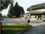
First, we drive to Mozirje, where at the roundabout we head in the direction of "Golte". After 4 km of driving, we arrive in the village Žekovec at the lower station of the Golte cableway and park there.
Route description:
The path starts where the one-way road at the bus stop turns left downwards. We go left on the road over Zagradiška puša. Soon the path from the road turns right over Zagradiška puša and after approx. 10 minutes joins the path past holiday cottages. The path then leads us on the road past the Kugler farm all the way to the cross on the right side of the road. At the cross the path turns left upwards into the forest. A little below the cross there is also a well with drinking water. A little higher we cross the road twice again, go past the second cross and come back to the road. Here we go left on the meadow into the forest. A little higher at the sign for St. Radegunda we come to an asphalt road and continue left along it. Soon we are at farmer Keber, where between the buildings we turn right straight upwards on the meadow and thereby cross the road again. When higher up we come into a sparse forest, there is drinking water on the right side. A little higher on the pasture we go right and when the path past the NOB monument joins, we continue left past the livestock shed onto the road to Golte, along which we go almost to Planinska Ravna. When on the right side we notice a short gully in which landslide traces are visible, we turn right into the forest. IMMEDIATELY, when a little higher from the left the path from Planinska Ravna joins, at a thicker spruce we turn sharply right onto the hunting path over Požganija. The path leads us right over the previously mentioned gully. Higher a path joins from the right. We continue left over a shorter scree to a pleasant vantage point with a bench. At the bench we go straight upwards and soon come to Vrbučeva planina. When we cross the fence, we continue upwards along the pasture valley past the hunting cottage. Here we turn right. The blazes then lead us upwards on the pasture to the hunting stand. We go left beside it and continue left or right to the log cabin, which we see straight ahead at the end of the pasture. This part of the path is flat. Before the log cabin we turn left upwards on the forest road. When this road brings us to a smaller clearing we turn right on the path. Soon we come to a junction, and from there to the top it is only a couple of minutes.
On the summit there is a lookout tower, which offers a nice view. We can return to the valley along the approach route or go along Severjeva pot, which a little below the clearing turns right into the forest, to Mozirska koča. There we decide whether to descend on foot or go to the valley by gondola. Do not go past the vantage point on this path. In the summer season at Mozirska koča we can view the alpinetum.

Photos:
 1
1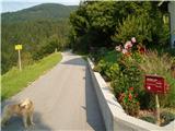 2
2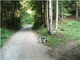 3
3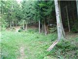 4
4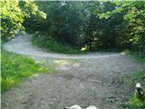 5
5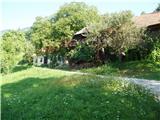 6
6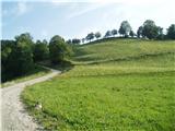 7
7 8
8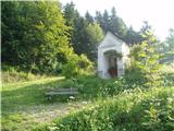 9
9 10
10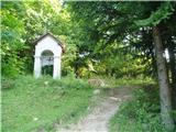 11
11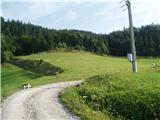 12
12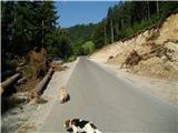 13
13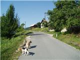 14
14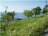 15
15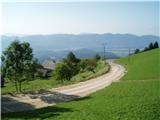 16
16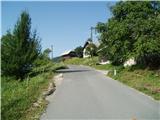 17
17 18
18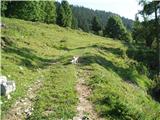 19
19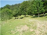 20
20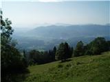 21
21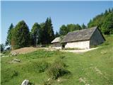 22
22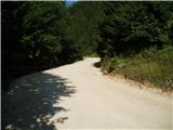 23
23 24
24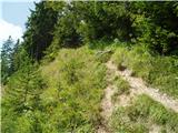 25
25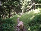 26
26 27
27 28
28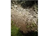 29
29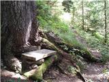 30
30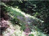 31
31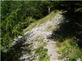 32
32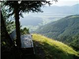 33
33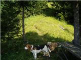 34
34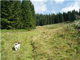 35
35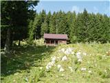 36
36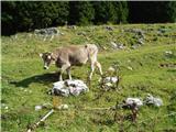 37
37 38
38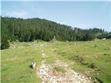 39
39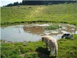 40
40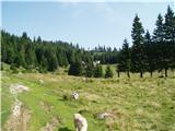 41
41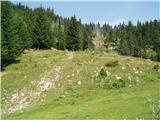 42
42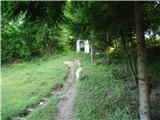 43
43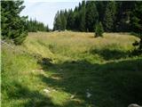 44
44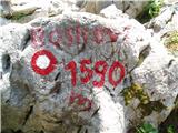 45
45 46
46 47
47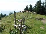 48
48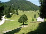 49
49 50
50 51
51
Discussion about the trip Žekovec - Boskovec (via Požganija)
To post a comment you must log in:
If you do not yet have a username, you must first
register.