Zelenci - Mojčin dom na Vitrancu
Starting point: Zelenci (834 m)
| Latitude/Longitude: | 46,49310°N 13,74180°E |
| |
Walking time: 2 h 35 min
Difficulty: easy pathless terrain, easy marked way
Elevation gain: 721 m
Elevation difference along the route: 850 m
Map: Kranjska Gora 1:30.000
Recommended equipment (summer):
Recommended equipment (winter): ice axe, crampons
Views: 4.340
 | 1 person like this post |
Access to starting point:
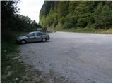
A) From the highway Ljubljana - Jesenice, we take the exit Jesenice - west (Hrušica), and then continue driving towards Kranjska Gora and then to Rateče. 300 m before the snack bar Zelenci, we will notice on the left side a larger macadam parking lot, where we park.
B) We drive to Rateče, and then continue driving towards Kranjska Gora. Soon on the right we will notice the parking lot by the snack bar Zelenci, where we park.
Route description:
At the parking lot we notice signs for walking path no. 12, which directs us slightly downhill to the wooden bridge over Zelenci. Here, with a nice view of the Ponc ridge, we cross the still young Sava Dolinka river, then slightly ascend to the nearby cycling road. We follow the road a few meters to the left, then arrive at the winter parking lot next to the westernmost two-seater chairlift of the Kranjska Gora ski area (Velika dolina). From the winter parking lot, past the hayrack in a few dozen steps we walk to the lower station of the aforementioned cable car, from there continuing right along the macadam road. The macadam road soon splits into two parts, and at the fork, from which a nice view opens towards Ponc, we follow it left along the Velika dolina ski slope. Further we ascend along an ever narrower and worse macadam road, which gradually turns into a rutted cart track. Higher up the rutted cart track turns right and slightly downhill to the nearby torrent; at that very spot we leave it and continue along the old, partly overgrown cart track, which continues to ascend beside or on the ski run.
Just a few dozen meters before the ski run turns left towards the upper station of the Velika dolina two-seater chairlift, our less visible cart track turns right into the torrent gully. Here, on the other side of the torrent, we find the continuation of the cart track, which then ascends obliquely to the right. After a few minutes of traversing, the slope flattens, the cart track turns left and continues along and beside the edge of a broad and indistinct ridge. When, after a few minutes, the barely traceable old cart track turns right, we leave it and continue the ascent straight uphill through easily passable pathless terrain.
From here on we can occasionally notice something resembling a path, but otherwise we ascend continuously through relatively easy pathless terrain. The relatively steep pathless "path" lasts about 30 minutes, after which the slope flattens somewhat and brings us to the ridge, where we join the marked path from Planica.
When we reach the mentioned path, we follow it left; it then leads us along the edge of a locally sheer and scenic ridge. Higher up the path enters the forest, where it ascends steeply for a while, then brings us to the main Ciprnik ridge, where we join the Vitranc - Ciprnik path, following it left (Ciprnik peak right, 20 minutes).
We continue along the Vitranc ridge, from which we occasionally get some views; otherwise we mostly walk through forest. Further on we ascend moderately a few times, then beyond the highest point of the Vitranc ridge we begin to descend slowly. The descents are relatively short, as they are occasionally interrupted by short ascents. After crossing the old single-seater chairlift Vitranc II, the path from Kranjska Gora joins from the left; we continue straight ahead and in a few dozen steps arrive at Mojčin dom na Vitrancu.

Along the route: Vitranc (1631m)
Photos:
 1
1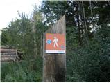 2
2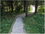 3
3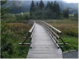 4
4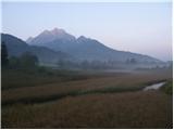 5
5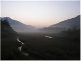 6
6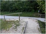 7
7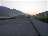 8
8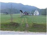 9
9 10
10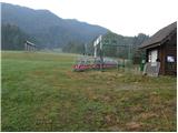 11
11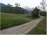 12
12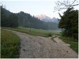 13
13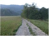 14
14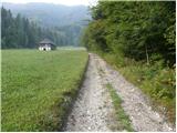 15
15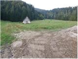 16
16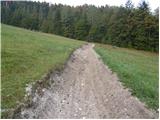 17
17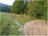 18
18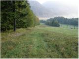 19
19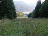 20
20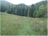 21
21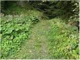 22
22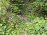 23
23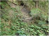 24
24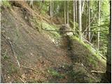 25
25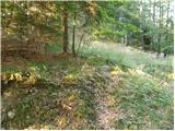 26
26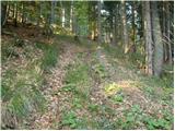 27
27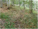 28
28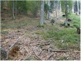 29
29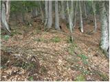 30
30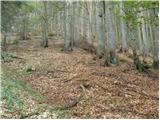 31
31 32
32 33
33 34
34 35
35 36
36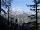 37
37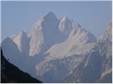 38
38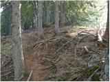 39
39 40
40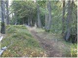 41
41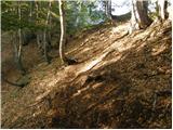 42
42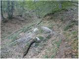 43
43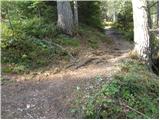 44
44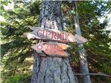 45
45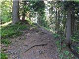 46
46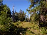 47
47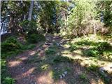 48
48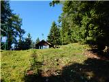 49
49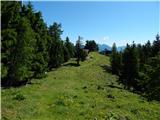 50
50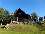 51
51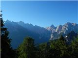 52
52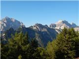 53
53
Discussion about the trip Zelenci - Mojčin dom na Vitrancu
To post a comment you must log in:
If you do not yet have a username, you must first
register.