Starting point: Železna vrata (445 m)
| Latitude/Longitude: | 45,86350°N 13,71840°E |
| |
Walking time: 35 min
Difficulty: easy marked way
Elevation gain: 198 m
Elevation difference along the route: 200 m
Map: Goriška - izletniška karta 1:50.000
Recommended equipment (summer):
Recommended equipment (winter): crampons
Views: 15.719
 | 1 person like this post |
Access to starting point:
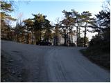
A) From the motorway or fast road Razdrto - Vrtojba we take the exit Selo, then we continue driving towards Selo, Batuje and Dornberk. In Dornberk we continue left in the direction of Branik, then only a little further right in the direction of Trstelj. We continue driving on the ascending road to the saddle Železna vrata, where we park in an appropriate place.
B) From Nova Gorica or its surroundings we drive to Dornberk, from there we continue driving right in the direction of Trstelj. We continue driving on the ascending road to the saddle Železna vrata, where we park in an appropriate place.
C) First we drive to Sežana, from there we continue driving towards Komen. From Komen we drive towards the village Škrbina and hamlet Šibelji, then towards Dornberk. We follow the road towards Dornberk only to the saddle Železna vrata, where we park in an appropriate place.
Route description:
From Železna vrata we continue on the macadam road in the direction of Trstelj, which we follow on foot to the power line. Immediately after the power line we leave the road and continue the ascent left on the marked path, which starts to ascend more steeply. After a few minutes, the path flattens and leads onto panoramic and relatively gentle shady slopes. The path quickly returns to the forest and from the right the path from Renče joins.
We continue left in the direction of the mountain hut on the path, which soon splits into two parts. We continue slightly right on the marked shortcut, then join a poorer forest road, which we follow to the nearby Stjenkova koča on Trstelj.
From the mountain hut we continue right in the direction of the peak on a pleasant footpath, which ascends through a belt of sparse forest. A little higher we join a wide cart track, on which in a few dozen steps of further walking we arrive at the top of Trstelj.
Photos:
 1
1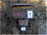 2
2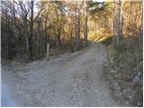 3
3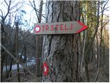 4
4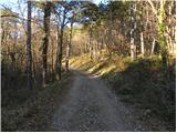 5
5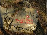 6
6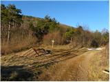 7
7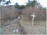 8
8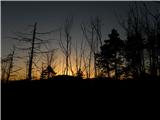 9
9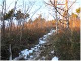 10
10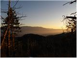 11
11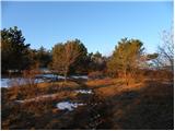 12
12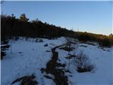 13
13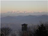 14
14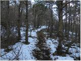 15
15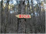 16
16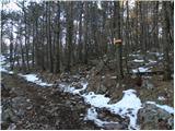 17
17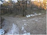 18
18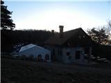 19
19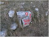 20
20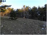 21
21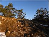 22
22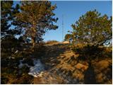 23
23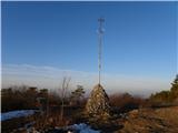 24
24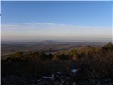 25
25 26
26
Discussion about the trip Železna vrata - Trstelj
|
| PlaRinka4. 06. 2017 |
Nice and quick walk. In the summer months it is extremely hot on the trail despite the forest, so I recommend setting out as early as possible.
The stamp is at the entrance to the hut.
|
|
|
|
| ovi6. 06. 2023 20:00:06 |
Was there (also) a month ago - hut warden - as every one should be - Sunday morning - party in full swing - no extra earnings, hut open - not a stroll though, sorry predecessor - 45 min. "dashing" - not true? (unless you came by e-bike to the hut ;-)); shortly after start hunters had some party (shooting targets) - nice little tour for exploring the Primorska hinterland - once again - gemütlich tour for the afternoon...
best from Styria :-)
|
|
|
To post a comment you must log in:
If you do not yet have a username, you must first
register.