Želimlje - Castle Stari grad above Želimlje
Starting point: Želimlje (321 m)
| Latitude/Longitude: | 45,91510°N 14,57440°E |
| |
Walking time: 50 min
Difficulty: easy unmarked way
Elevation gain: 234 m
Elevation difference along the route: 245 m
Map:
Recommended equipment (summer):
Recommended equipment (winter): ice axe, crampons
Views: 1.996
 | 1 person like this post |
Access to starting point:
A) From Ljubljana or Grosuplje we drive to Škofljica, and from there we continue driving towards Kočevje. In the settlement Pijava Gorica signs for Želimlje point us to the right. When after a few kilometers we get to Želimlje, in some sort of triangular crossroad, in the middle of which is a chapel, we continue straight in the direction of Turjak. When a few 100 meters further on the right we notice an old quarry, and a few meters before the left turn also signposts for Kurešček, we are at the beginning of the described path. At the starting point, there aren't any appropriate parking spots.
B) First, we drive to Turjak, and there we go on the road which leads past the castle. Near the castle the road starts descending steeply and lower it brings us to a crossroad, where we continue right (left Ščurki, Četež pri Turjaku, Prazniki). Further, we drive along Želimeljščica, and then the valley widens and the road brings us into Želimlje. Through Želimlje we drive to the spot, where we notice signposts for Kurešček. At the starting point, there aren't any appropriate parking spots.
C) First, we drive to Ig, and from there we continue driving towards Škofljica. When a little before the end of Ig main road turns left, we continue straight on a somewhat narrower asphalt road which quickly brings us to Kremenica. Through the mentioned settlement we continue straight and also in a few smaller crossroads after the settlement we continue straight. Later we join the road which leads from Pijava Gorica towards Želimlje, and we follow it to the right. When after a few kilometers we get to Želimlje, in some sort of triangular crossroad, in the middle of which is a chapel, we continue straight in the direction of Turjak. When a few 100 meters further on the right we notice an old quarry, and a few meters before the left turn also signposts for Kurešček, we are at the beginning of the described path. At the starting point, there aren't any appropriate parking spots.
Route description:
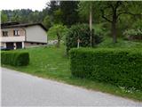
From the road signs for Kurešček point us onto an at first almost unnoticeable footpath which ascends steeply by the hedge. When after a shorter steep ascent we step into the forest, the footpath becomes more distinct, above the quarry turns left and quickly brings us onto a cart track which we reach near the crossing.
We continue on an ascending cart track which turns slightly to the left, then ascends transversely. On the cart track we ascend quite steeply mostly through the forest, only on one part a little view opens up on the surrounding hills. Higher the cart track temporarily slightly descends, and we follow it to its end, from where temporarily again a little view opens up.
From the end of the cart track we continue straight on a marked path, which leads onto steeper slopes. A little further steel cables also help us (the passage is undemanding, also in wet there is no greater danger, greater caution is needed only if there is ice), which with a few gaps accompany us all the way to the forested ridge, where to the left a short unmarked footpath branches off towards Stari grad, to the right the marked path towards Kurešček continues.
At the mentioned crossing we continue left and after a minute of further walking we step onto the forested peak.
Description and pictures refer to the condition in 2015 (May).

Photos:
 1
1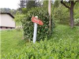 2
2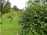 3
3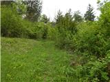 4
4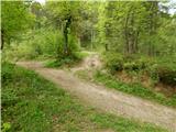 5
5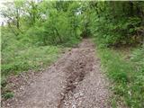 6
6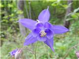 7
7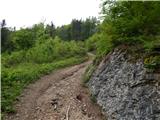 8
8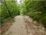 9
9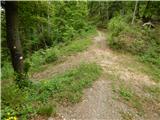 10
10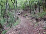 11
11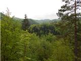 12
12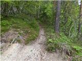 13
13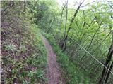 14
14 15
15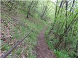 16
16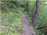 17
17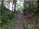 18
18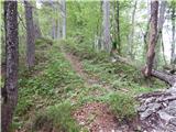 19
19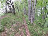 20
20 21
21
Discussion about the trip Želimlje - Castle Stari grad above Želimlje
To post a comment you must log in:
If you do not yet have a username, you must first
register.