Zgornja Javoršica - Murovica
Starting point: Zgornja Javoršica (591 m)
| Latitude/Longitude: | 46,11790°N 14,69920°E |
| |
Walking time: 25 min
Difficulty: easy marked way
Elevation gain: 152 m
Elevation difference along the route: 152 m
Map:
Recommended equipment (summer):
Recommended equipment (winter):
Views: 9.641
 | 1 person like this post |
Access to starting point:
From the Ljubljana - Maribor highway, we take the Krtina exit, then continue driving in the direction of Moravče. Still before Moravče, more precisely in Selo pri Moravčah, we leave the main road and continue right towards the villages Stegne, Vrhpolje pri Moravčah, Spodnja Javoršica and Zgornja Javoršica. Further, we drive through Stegne to the village Vrhpolje, and here at the crossroads some 10 m before the church of St. Peter we turn right in the direction of both Javoršica villages. A somewhat narrower and ascending road then brings us to Spodnja and higher also to Zgornja Javoršica. We park on an appropriate place above Zgornja Javoršica - best somewhere near the water reservoir.
Route description:
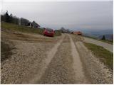
Immediately after the water reservoir we turn right onto a wide and marked cart track, along which we quickly ascend into the forest. When we step into the forest, the cart track splits into two parts, and we choose the left one, that is, the one along which the otherwise occasionally quite rare blazes continue. We also follow the blazes at the subsequent junctions, and the ever narrower cart track, which higher up turns into a forest footpath, brings us to the place where we join the more trodden path from Sveta Trojica.
Here we continue left and after three minutes of further walking along the path that continues through the forest, we arrive at the summit of Murovica.
The trip can be extended to the following destinations: Cicelj
Photos:
 1
1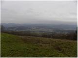 2
2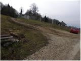 3
3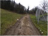 4
4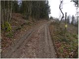 5
5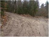 6
6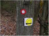 7
7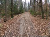 8
8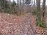 9
9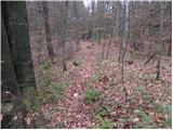 10
10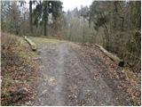 11
11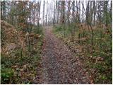 12
12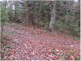 13
13 14
14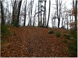 15
15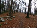 16
16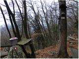 17
17 18
18
Discussion about the trip Zgornja Javoršica - Murovica
To post a comment you must log in:
If you do not yet have a username, you must first
register.