Zgornja Polskava - Castle Gromberg
Starting point: Zgornja Polskava (300 m)
Starting point Lat/Lon: 46.42679°N 15.61222°E 
Time of walking: 1 h 15 min
Difficulty: easy marked way
Difficulty of skiing: no data
Altitude difference: 287 m
Altitude difference (by path): 287 m
Map: Pohorje 1:40000
Access to starting point:
We leave the Štajerska highway at the Slovenska Bistrica-sever exit and turn left toward Slovenska Bistrica.
At the next crossroad, we turn right toward Maribor/Zgornja Polskava.
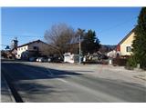
We drive along the local road to the settlement Zgornja Polskava, where we park in the center of the settlement, either at the parking lot by the pharmacy or near the post office.
Path description:
At the post office we cross the main road and continue on a narrow road past the Cultural House, where the marked path to Trije Kralji also begins.
After 100 meters, a trail blaze directs us onto a narrow footpath, which leads to the bridge over the river Polskava.
Over the bridge and along the river Polskava, we follow the blazes on a regional road to a crossing, where we turn left onto the road for Kočna.
After a few minutes of ascent, we reach a sharp turn, where we leave the road and take a forest path. The steep path brings us back to the road after a few minutes.
We continue on the road through the beautiful village Kočna, multiple recipient of the title Most Beautiful Slovenian Village.
Through the village we can view an outdoor museum at every farm.
On the road, we follow the blazes to the forest, where at a sharp turn we turn right uphill to the ruins of castle Gromberg.
Pictures:
 1
1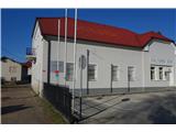 2
2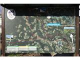 3
3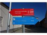 4
4 5
5 6
6 7
7 8
8 9
9 10
10 11
11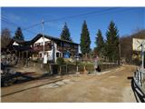 12
12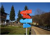 13
13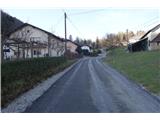 14
14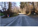 15
15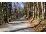 16
16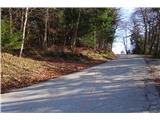 17
17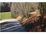 18
18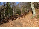 19
19 20
20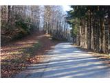 21
21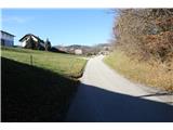 22
22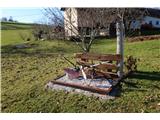 23
23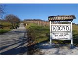 24
24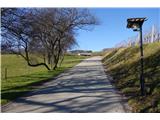 25
25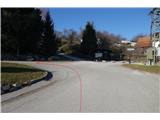 26
26 27
27 28
28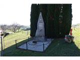 29
29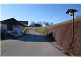 30
30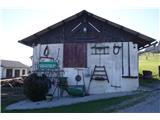 31
31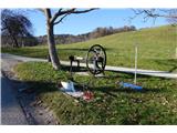 32
32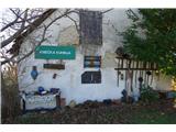 33
33 34
34 35
35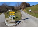 36
36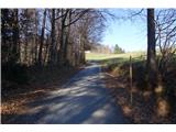 37
37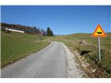 38
38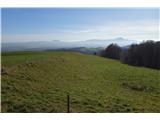 39
39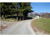 40
40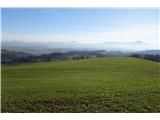 41
41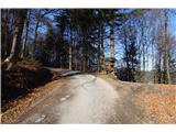 42
42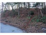 43
43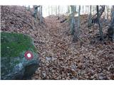 44
44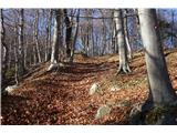 45
45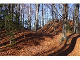 46
46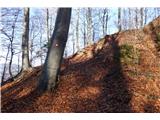 47
47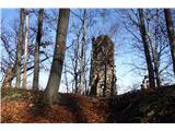 48
48 49
49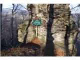 50
50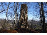 51
51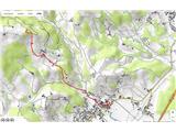 52
52