Zgornja Slivnica - Pugled
Starting point: Zgornja Slivnica (460 m)
| Latitude/Longitude: | 45,98320°N 14,63280°E |
| |
Walking time: 1 h 30 min
Difficulty: easy marked way
Elevation gain: 155 m
Elevation difference along the route: 200 m
Map: Ljubljana - okolica 1:50.000
Recommended equipment (summer):
Recommended equipment (winter):
Views: 14.866
 | 2 people like this post |
Access to starting point:
From the highway Ljubljana - Novo mesto we go to the exit Grosuplje and Šmarje - Sap, and then we follow the road in the direction of the village Paradišče. A little after the village Paradišče we come to a crossroad, where we continue right in the direction of the village Zgornja Slivnica. We follow the road, which then starts to ascend more steeply, to the parking lot at the turn-off of the road towards Magdalenska gora (the crossroad is located a few 100 meters before the village Zgornja Slivnica).
Route description:
From the parking lot, we continue on the "main" road which in a few minutes of walking brings us to the south-western part of the village Zgornja Slivnica. Only a little further we come to a crossroad, where we continue straight in the direction of the village Lipoglav (left Repče, right Zgornja Slivnica).
Ahead the road slightly descends, then ascends again and brings us only a little higher to the next crossroad. We continue slightly left (sharply right Zgornja Slivnica) on the road which past a cross brings us to the village Mali Lipoglav. In the center of the mentioned village, at the inn we come to the next crossroad, where we continue left towards the church of St. Nicholas (right Ljubljana and Veliki Lipoglav).
Only a little after the church, we will notice on the tree a blaze, which directs us right onto a cart track which starts descending across grassy slopes. The somewhat worse-marked path after a few minutes of descent again starts ascending and quickly brings us to the periphery of the village Veliki Lipoglav. Further, we continue on the road which in a few steps brings us to the chapel where there is a crossroad. We continue left and follow the road to the sign with the caption "krožna pohodna pot pod Pugledom" (circular hiking path below Pugled). Here we continue left on the ascending road which after the last houses changes into a cart track. Further, we ascend on a gentle and ever narrower cart track which with quite reliable blazes and past the NOB monument brings us to the top of Pugled, where there is also another somewhat bigger monument.

Along the route: Mali Lipoglav (530m), Veliki Lipoglav (540m)
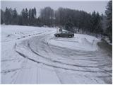
Photos:
 1
1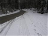 2
2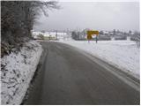 3
3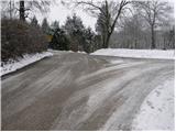 4
4 5
5 6
6 7
7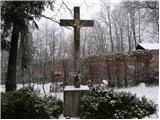 8
8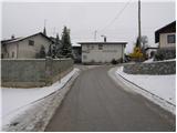 9
9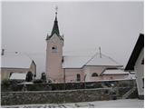 10
10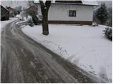 11
11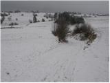 12
12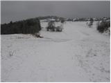 13
13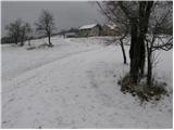 14
14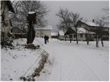 15
15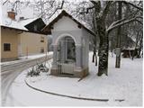 16
16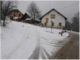 17
17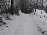 18
18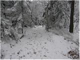 19
19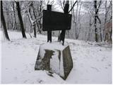 20
20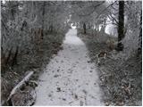 21
21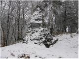 22
22
Discussion about the trip Zgornja Slivnica - Pugled
|
| grega_p20. 02. 2021 |
Actually yesterday it should have been called Nigled, but nevertheless a nice little trip from Veliki Lipoglav.
Lots of blueberries along the path and an interesting frozen standing puddle down left in a small valley a little below the summit. Little things always add variety...
|
|
|
To post a comment you must log in:
If you do not yet have a username, you must first
register.