Starting point: Zgornja Sorica (950 m)
| Latitude/Longitude: | 46,22730°N 14,02900°E |
| |
Walking time: 1 h 40 min
Difficulty: easy marked way
Elevation gain: 599 m
Elevation difference along the route: 615 m
Map: Škofjeloško in Cerkljansko hribovje 1:50.000
Recommended equipment (summer):
Recommended equipment (winter): ice axe, crampons
Views: 18.562
 | 2 people like this post |
Access to starting point:
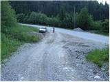
From Železniki we drive towards Soriška planina. At the crossroad at Zgornja Sorica we continue left in the direction of Petrovo Brdo and Tolmin and then after 50 meters we park on a suitable spot by the next crossroad.
From Podbrdo we drive towards Železniki, but only to the village Petrovo Brdo, where we continue left in the direction of Soriška planina. We follow this road to Zgornja Sorica, where we park only about 50 meters before the crossroad, where the road towards Železniki branches off to the right downwards.
Access from the Bohinj side is also possible.
Route description:
From the starting point, we head onto an ascending macadam road, which after just a few steps brings us to a crossroad. We continue on a somewhat steeper cart track, which ascends between the two roads (the right road leads to the nearby quarry). The initially relatively steep cart track soon flattens and brings us over a panoramic slope (view of Sorica) to the spot where we step onto a marked path (it is also possible to here on the marked path that starts right at the crossroad, but I do not recommend the ascent on it due to overgrowth).
We continue the ascent on a well-marked footpath, which higher up approaches very closely to the road to Soriška planina.
We continue straight in the direction of Lajnar (right along the road to Soriška planina) on the path which becomes increasingly overgrown. The still well-marked path, which ascends the slopes of Dravh, brings us higher to the edge of the forest, where we notice a decaying shepherd's hut.
Ahead the footpath leaves the forest for a heavily overgrown grassy slope (the blazes also become rarer), along which we ascend on a barely visible path. The overgrown path in the upper part crosses some slopes that are dangerous for slipping when wet, then brings us to the main ridge, where the overgrowth ends.
We continue left (right to Dravh 10 min) on the path which slightly descends and brings us to the saddle between Dravh and Lajnar. Here we cross a pasture fence and then continue the ascent on the ski track. When we are already almost at the summit, we leave the aforementioned track and continue slightly left on a pleasant little path, along which with a few dozen more steps we ascend to the summit.

The trip can be extended to the following destinations: Dravh
Photos:
 1
1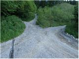 2
2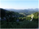 3
3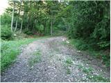 4
4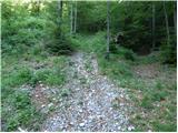 5
5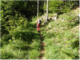 6
6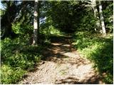 7
7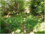 8
8 9
9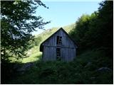 10
10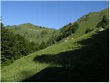 11
11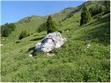 12
12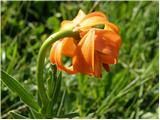 13
13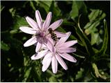 14
14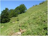 15
15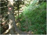 16
16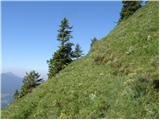 17
17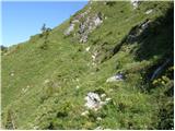 18
18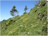 19
19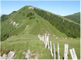 20
20 21
21 22
22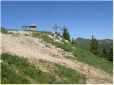 23
23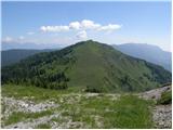 24
24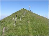 25
25 26
26
Discussion about the trip Zgornja Sorica - Lajnar
To post a comment you must log in:
If you do not yet have a username, you must first
register.