Zgornje Krapje - Island of love
Starting point: Zgornje Krapje (177 m)
| Latitude/Longitude: | 46,56190°N 16,19763°E |
| |
Walking time: 40 min
Difficulty: easy unmarked way
Elevation gain: 2 m
Elevation difference along the route: 15 m
Map:
Recommended equipment (summer):
Recommended equipment (winter):
Views: 74
 | 1 person like this post |
Access to starting point:
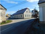
We drive to Veržej, then follow the signs to Krapje. Upon arriving in the settlement Zgornje Krapje, the described trail begins at the bus station. There are no designated parking spaces at the starting point.
Route description:
From the bus station, we head onto the side road towards Otok ljubezni, walking between houses; at the Krapje fire station, where there is also a memorial plaque in memory of Josip Karbi, we turn left.
We continue past a few more houses; the road soon turns slightly right and leads us past the last houses to a junction at the edge of the forest, from where we proceed straight into the forest. A short walk through the forest follows; when the forest thins near the gramoznica Krapje, we turn left from the junction towards Otok ljubezni.
The path continues over a small bridge, then branches again.
We go slightly left (right is less than a minute to gramoznica Krapje) and continue along the forest road, which later has two minor junctions; from both, we go straight or follow the signs for Otok ljubezni. This route takes us, after about 20 minutes from gramoznica Krapje, to the brod Ižakovci.
To reach Otok ljubezni, we use the brod to arrive at the left bank of the Mura, where Otok ljubezni is located.
The brod has no fixed schedule, so inquire in advance about the timetables.
Starting point - gramoznica Krapje 0:20, gramoznica Krapje - Otok ljubezni 0:20.
Description and photos refer to the status in December 2025.

Photos:
 1
1 2
2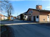 3
3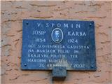 4
4 5
5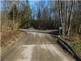 6
6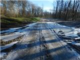 7
7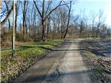 8
8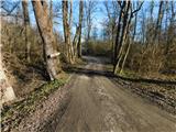 9
9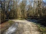 10
10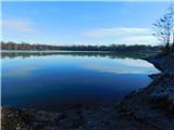 11
11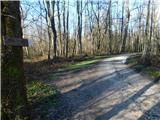 12
12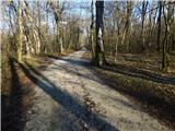 13
13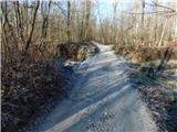 14
14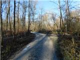 15
15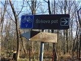 16
16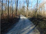 17
17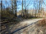 18
18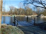 19
19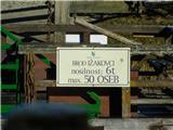 20
20
Discussion about the trip Zgornje Krapje - Island of love
To post a comment you must log in:
If you do not yet have a username, you must first
register.