Zgornje Poljčane - Studenice castle (along Jakob's Path)
Starting point: Zgornje Poljčane (270 m)
| Latitude/Longitude: | 46,30395°N 15,58253°E |
| |
Route name: along Jakob's Path
Walking time: 55 min
Difficulty: easy marked way
Elevation gain: 45 m
Elevation difference along the route: 70 m
Map: Posavsko hribovje Boč - Bohor 1:50.000
Recommended equipment (summer):
Recommended equipment (winter):
Views: 77
 | 1 person like this post |
Access to starting point:
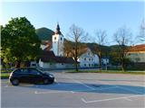
We drive to Zgornje Poljčane, where we park at one of the parking lots in the center of the settlement, preferably near the cemetery or children's playground.
Route description:
From the center of Zgornje Poljčane we first walk to the parish church of St. Cross, where we notice the first markers of Jakob's Path. We follow the path eastward, initially along Erne Starovasnik Street. Soon we reach the Podboč settlement, where the path splits.
Slightly right a marked path or road branches off towards Boč, we continue slightly left along the lower road. It leads past a few more houses, at the end of the village we turn right towards the cycling path along the Dravinja.
We continue on a gentle gravel road which splits a few minutes ahead at the double hayrack (toplar). We go slightly right on the poorer road for pedestrians and cyclists, upon entering the forest we ascend moderately for a few minutes. Later we leave the forest and walk across scenic meadows from which a nice view opens across the Dravinja towards the church of St. Lucija, to the western edge of the Studenice settlement. Here we reach the asphalt road which we follow eastwards, after crossing the Toplega stream we turn right towards the monastic educational trail.
A light ascent follows past a few houses to the Convent of Dominican Nuns Studenice.
In front of the convent we go left to the blue kavčina, descendant of the oldest, more than 425 years old vine in the world, from where we begin to ascend a nicely arranged and wide path that takes us in a few hairpins to the ruins of Studenice Castle.
Description and photos refer to the state in April 2026.

Along the route: Podboč (270m), Studenice (257m), Samostan dominikank Studenice (264m)
Photos:
 1
1 2
2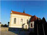 3
3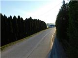 4
4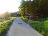 5
5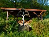 6
6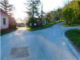 7
7 8
8 9
9 10
10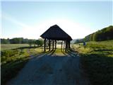 11
11 12
12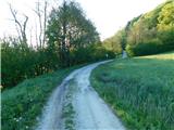 13
13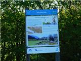 14
14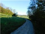 15
15 16
16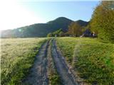 17
17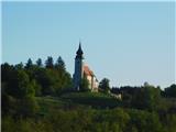 18
18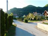 19
19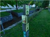 20
20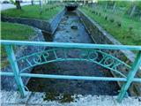 21
21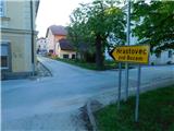 22
22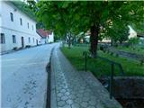 23
23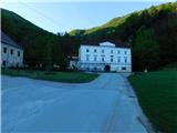 24
24 25
25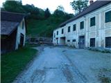 26
26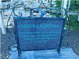 27
27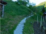 28
28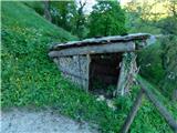 29
29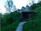 30
30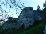 31
31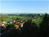 32
32
Discussion about the trip Zgornje Poljčane - Studenice castle (along Jakob's Path)
To post a comment you must log in:
If you do not yet have a username, you must first
register.