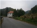
Starting point: Žička kartuzija (410 m)
| Latitude/Longitude: | 46,31010°N 15,39330°E |
| |
Walking time: 1 h 10 min
Difficulty: easy marked way
Elevation gain: 165 m
Elevation difference along the route: 245 m
Map:
Recommended equipment (summer):
Recommended equipment (winter):
Views: 2.072
 | 2 people like this post |
Access to starting point:
A) From the Maribor - Ljubljana highway, take the Tepanje exit and follow the road ahead towards Draža vas and Žiče. In Žiče, turn right in the direction of Špitalič and Žička kartuzija. At the Carthusian monastery, there are enough parking spaces available for safe parking.
B) From Frankolovo through Črešnjice and the settlement Sojek to Žička kartuzija.
c) From Poljčane through Loče, Žiče and Špitalič to Žička kartuzija.
Route description:
After a short visit to the interesting surroundings of Žička kartuzija by the oldest Slovenian inn Gastuž, beginning operations in the distant year 1467, we continue across the bridge over the stream Žičnica on a macadam road upwards in the direction of Straža na Gori, or Dramlje. After about two hundred meters we continue left on a narrower forest road, while the previous road continues sharply right in a bend. We follow the road through the forest section and soon reach a meadow plateau. Another section through the forest and we reach a junction. The far left path leads to homesteads according to sources named Hudin and Macuhek, straight ahead is the path over the junction Podgranček. We continue far right on a forest path partly cart track, which rises steeply through dense forest. Soon from the left joins the path over the junction Podgranček. We follow the path higher and with good markings we reach an asphalt road and the junction Jankar. We continue sharply left on the asphalt surface. Soon on the left by the path there is an old structure of a typical homestead from decades ago. We follow the asphalt road higher, soon follows a short descent and from the right joins the path from sv. Uršula (Dramlje), also junction Babček at an altitude of 553 meters. We continue higher, right by the path, actually by the road, stands a smaller hayrack. From here we already see the goal, we descend a few meters down, left by the path is another homestead and right by the road we reach the summit Babček with height 575 meters. Indistinct summit, also water facility practically on the summit and some views, mainly towards the north and east, reward the path.
The path measures around 2800 meters, 245 positive altitude meters and 75 negative altitude meters.

Photos:
 1
1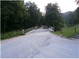 2
2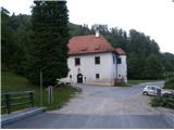 3
3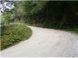 4
4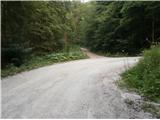 5
5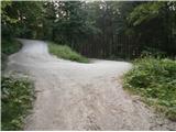 6
6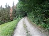 7
7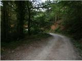 8
8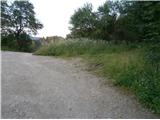 9
9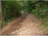 10
10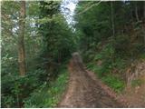 11
11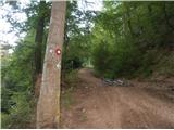 12
12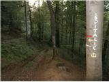 13
13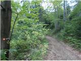 14
14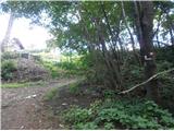 15
15 16
16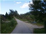 17
17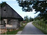 18
18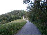 19
19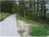 20
20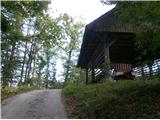 21
21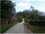 22
22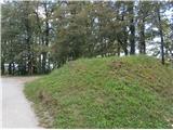 23
23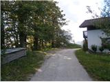 24
24
Discussion about the trip Žička kartuzija - Babček
To post a comment you must log in:
If you do not yet have a username, you must first
register.