Žiri - Loncmanova Sivka (Mrzli Vrh)
Starting point: Žiri (478 m)
| Latitude/Longitude: | 46,04260°N 14,10470°E |
| |
Walking time: 1 h 40 min
Difficulty: easy marked way
Elevation gain: 509 m
Elevation difference along the route: 540 m
Map: Škofjeloško in Cerkljansko hribovje 1:50.000
Recommended equipment (summer):
Recommended equipment (winter):
Views: 33.733
 | 1 person like this post |
Access to starting point:
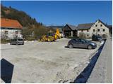
A) First, we drive to Škofja Loka, and then we continue driving towards Gorenja vas and Žiri. Only a little after the parish church of St. Martin in Žiri, we will get to the inn and pizzeria Lenger, and we park nearby.
B) From the highway Ljubljana - Koper we go to the exit Logatec, and then we continue driving in the direction of Rovte and Žiri. In Žiri the road from Idrija also joins from the left, and we continue driving only a few dozen meters to the inn and pizzeria Lenger, and we park nearby.
C) From the road Idrija - Tolmin, at the settlement Spodnja Idrija we go on the road towards Žiri and Škofja Loka. When we come to Žiri, we continue left (right Logatec), and we continue driving only a few dozen meters to the inn and pizzeria Lenger, and we park nearby.
Route description:
From Žiri we continue along the main road towards Idrija and Logatec, and we follow it to the chapel by the crossroad. Here we continue right on a side road, along which after a few meters on a power line pole we notice signs for Breznica and Mrzli vrh, which point us to the left on a cart track which ascends steeply among houses. Higher up we temporarily step on the road, from which a nice view opens up on Žiri, and then we continue the path on a cart track. The cart track quickly brings us to a smaller hamlet, after which we continue right on a marked footpath, on which we ascend to a smaller saddle. From the saddle, by which there are a religious symbol and a bench, we continue left and after a few steps we get to a macadam road, which we only cross. The path ahead passes into the forest, through which it steeply ascends for a short time, and then it flattens and brings us to panoramic grassy slopes. Next follows a few minutes' ascent on a cart track and the path brings us to Breznica pri Žireh, where we also step on an asphalt road. Through the village we follow the blazes, and the road past the village church of St. Kancijan, in a gentle descent brings us to a crossroad, from which we continue right in the direction of Mrzli Vrh. Here the road temporarily slightly ascends, and then it starts descending to the next crossroad, where we again continue right (left Korita). From the crossroad ahead the road loses the asphalt surface, and we follow the macadam road across a larger meadow.
When the road returns into the forest, signs for Mrzli Vrh point us to the left on a marked footpath, which further moderately ascends through the forest. Further we ascend through the forest for some time, and then the path brings us to a grassy ridge, from which a nice view opens up on Blegoš and surrounding peaks. Here we walk on the road for a short time, and then signs for Mrzli Vrh point us slightly to the right on an ascending footpath, which higher flattens and gradually passes to the right side of the ridge. Next follows a short traverse and the panoramic path brings us to a sign which marks Mrzli vrh (the sign is situated a little below the summit), and right at this spot we leave it and through a meadow in a good minute we ascend to the summit.

Along the route: Breznica pri Žireh (755m)
Photos:
 1
1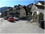 2
2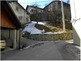 3
3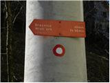 4
4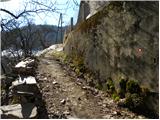 5
5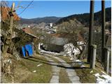 6
6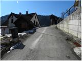 7
7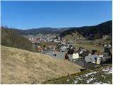 8
8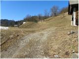 9
9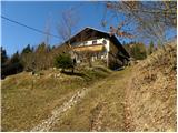 10
10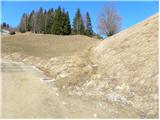 11
11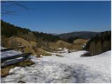 12
12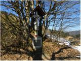 13
13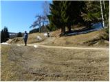 14
14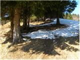 15
15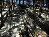 16
16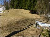 17
17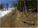 18
18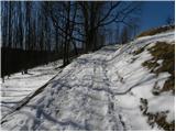 19
19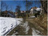 20
20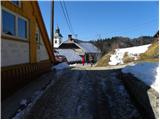 21
21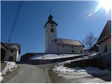 22
22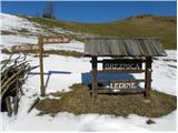 23
23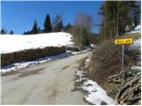 24
24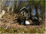 25
25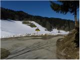 26
26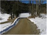 27
27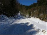 28
28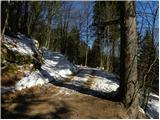 29
29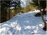 30
30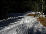 31
31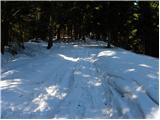 32
32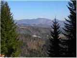 33
33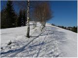 34
34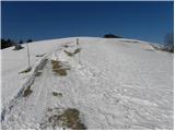 35
35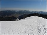 36
36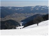 37
37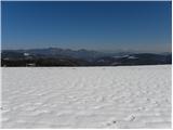 38
38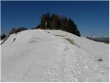 39
39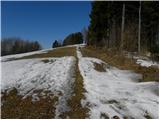 40
40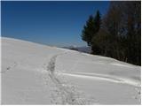 41
41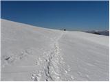 42
42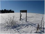 43
43 44
44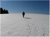 45
45 46
46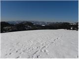 47
47
Discussion about the trip Žiri - Loncmanova Sivka (Mrzli Vrh)
|
| ljubitelj gora12. 03. 2011 |
In this area, the farm 1,2 was filmed in the past. When filming ended, there were huge visits to the farm.
|
|
|
|
| maks572. 04. 2017 |
Where is the stamp located? Please kindly answer, as I would like to go to Sivka next Saturday.
|
|
|
|
| dragon2. 04. 2017 |
I'm not sure that there's a stamp on Loncmanova Sivka at all. It is located on Sivka, which is the adjacent 20 meters higher hill and is also an SPP point.
|
|
|
|
| maks572. 04. 2017 |
Ha! Good that you said it. I mean of course Sivka, which is on SPP. Thanks.
|
|
|
To post a comment you must log in:
If you do not yet have a username, you must first
register.