Starting point: Žiri (487 m)
| Latitude/Longitude: | 46,04260°N 14,10470°E |
| |
Walking time: 2 h
Difficulty: easy marked way
Elevation gain: 521 m
Elevation difference along the route: 590 m
Map: Škofjeloško in Cerkljansko hribovje 1:50.000
Recommended equipment (summer):
Recommended equipment (winter):
Views: 13.290
 | 1 person like this post |
Access to starting point:
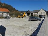
A) First, we drive to Škofja Loka, then we continue driving towards Gorenja vas and Žiri. A little after the parish church of St. Martin in Žiri, we arrive at the inn and pizzeria Lenger, where we park nearby.
B) From the Ljubljana-Koper highway, we take the Logatec exit, then we continue driving towards Rovte and Žiri. In Žiri, the road from Idrija also joins from the left, and we continue driving only a few dozen meters to the inn and pizzeria Lenger, where we park nearby.
C) From the Idrija-Tolmin road, at the settlement of Spodnja Idrija, we turn onto the road towards Žiri and Škofja Loka. When we arrive in Žiri, we continue left (right Logatec), and we continue driving only a few dozen meters to the inn and pizzeria Lenger, where we park nearby.
Route description:
From Žiri we continue along the main road towards Idrija and Logatec, following it to the chapel at the crossroads. Here we continue right onto a side road, along which after a few meters on a power line pole we notice signs for Breznica and Mrzli vrh, which direct us left onto a cart track that steeply ascends among houses. Higher up, we temporarily step onto the road, from which a nice view of Žiri opens up, then we continue the path on the cart track. The cart track quickly brings us to a smaller hamlet, after which we continue right on a marked footpath, along which we ascend to a smaller saddle. From the saddle, where there is a religious symbol and a bench, we continue left and after a few steps arrive at a macadam road, which we only cross. The path ahead enters the forest, through which it steeply ascends for a short time, then levels out and brings us to panoramic grassy slopes. There follows a few-minute ascent on the cart track, and the path brings us to Breznica pri Žireh, where we also step onto an asphalt road. Through the village we follow the blazes, and the road past the village church of St. Kancijan, in a gentle descent, brings us to a crossroads, from which we continue right in the direction of Mrzli Vrh. Here the road temporarily gently ascends, then begins to descend to the next crossroads, where we again continue right (left Korita). From the crossroads onward, the road loses its asphalt surface, and we follow the macadam road across a larger meadow.
When the road returns to the forest, signs for Mrzli Vrh direct us left onto a marked footpath, which further moderately ascends through the forest. Further on, we ascend through the forest for some time, then the path brings us to a grassy ridge, from which a nice view opens up on Blegoš and surrounding peaks. Here we walk along the road for a short time, then signs for Mrzli Vrh direct us slightly right onto an ascending path that higher levels out and gradually passes to the right side of the ridge. There follows a short traverse, and the panoramic path brings us to a sign that marks Mrzli vrh (the sign is located a little below the summit).
We continue on the marked path, which begins to gently descend toward the nearby road. When we step onto the road, we join the path that leads from the village Ledinica, and we continue left along the road, which first only crosses the slopes, then begins to descend. After a short descent, we arrive at a marked crossroads, where we continue sharply left in the direction of Ledin (slightly right farm Vodičar, where there is the stamp for Sivka - 1 minute).
We continue on the slightly ascending asphalt road, which brings us past a smaller monument to a crossroads of several roads. We continue straight past the NOB memorial and chapel, onto a macadam road in the direction of Sivka (this is also the first sign for Sivka on the described path). We continue on the macadam road for a short time, then the blazes direct us slightly right onto a meadow, across which we walk to the edge of the forest, where we notice the next sign for Sivka. The path ahead leads into the forest, and along it in about 5 minutes of further walking we reach the summit of Sivka.

Photos:
 1
1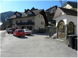 2
2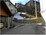 3
3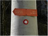 4
4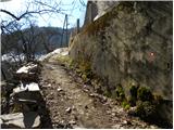 5
5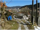 6
6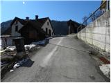 7
7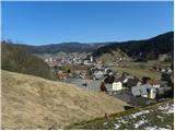 8
8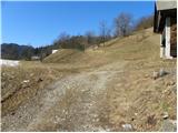 9
9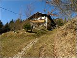 10
10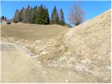 11
11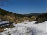 12
12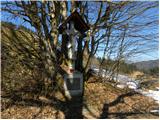 13
13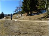 14
14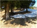 15
15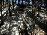 16
16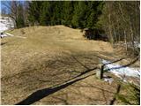 17
17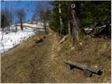 18
18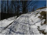 19
19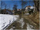 20
20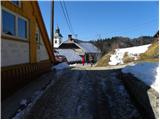 21
21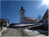 22
22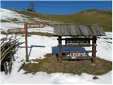 23
23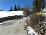 24
24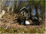 25
25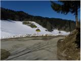 26
26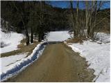 27
27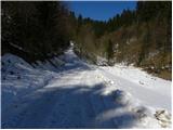 28
28 29
29 30
30 31
31 32
32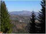 33
33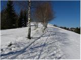 34
34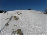 35
35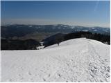 36
36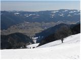 37
37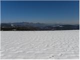 38
38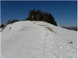 39
39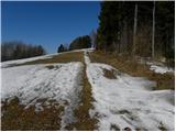 40
40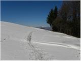 41
41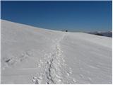 42
42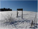 43
43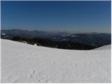 44
44 45
45 46
46 47
47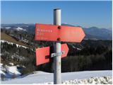 48
48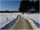 49
49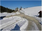 50
50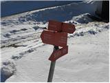 51
51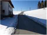 52
52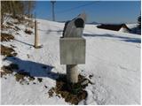 53
53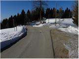 54
54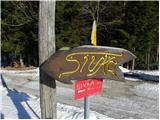 55
55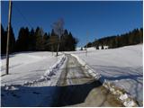 56
56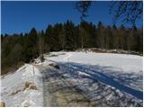 57
57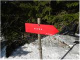 58
58 59
59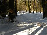 60
60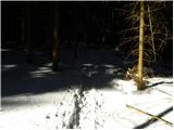 61
61 62
62
Discussion about the trip Žiri - Sivka
|
| ljubitelj gora12. 03. 2011 |
In this area, the farm 1,2 was filmed in the past. When filming ended, there were huge visits to the farm.
|
|
|
|
| ce_belica23. 07. 2013 |
I'm wondering if the path is well marked?
|
|
|
|
| anazala26. 09. 2020 |
I'd really like to go, but after so much time I don't know if everything is still so nicely marked. Can you tell something.
|
|
|
|
| Spelcarocket1. 01. 2021 |
After the first stamp of this year into the winter idyll on Sivka! The path is beautiful, away from the basin fog and snow has nicely accumulated  plus children's joy as they slide down the hill on sleds The path in snowy conditions is well visible and nicely marked. Will have to go around in summer too. plus children's joy as they slide down the hill on sleds The path in snowy conditions is well visible and nicely marked. Will have to go around in summer too.
|
|
|
To post a comment you must log in:
If you do not yet have a username, you must first
register.