Žlebe - Jeterbenk (western way)
Starting point: Žlebe (410 m)
Route name: western way
Walking time: 1 h 15 min
Difficulty: easy marked way
Elevation gain: 364 m
Elevation difference along the route: 364 m
Map: Ljubljana - okolica 1:50.000
Recommended equipment (summer):
Recommended equipment (winter):
Views: 10.349
 | 1 person like this post |
Access to starting point:
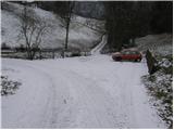
Access from Ljubljana: From Ljubljana, we drive towards Medvode but only to the village Medno. Here we turn left and drive past the hotel after which we soon come to a crossroads, where we continue left towards Golo brdo and Žlebe. The road then runs through Seničica, where we continue right in the direction of Žlebe. Only a little further, the road splits into two parts, where it says Žlebe left and right. Here we continue on the left road, and in the next crossroads left on the lower road. The road then runs past a few houses after which at the sharp right turn we notice the marked parking lot, where we park.
Access from Medvode: From Medvode we drive towards Ljubljana. At the last traffic light in Medvode we turn right over the railway track and then we continue left. At the crossroads a little before the hotel in Medno we turn right and the road then brings us to the village Seničica. Further, follow the above description.
Route description:
From the parking lot, we continue on the road ahead, which after 100 meters of walking brings us to the mountain signposts by the road. Here we continue sharply left between the two roads on a meadow moderately upwards. During the ascent through the meadow we cross a smaller stream from which we already clearly see the church of St. Marjeta. The path ahead brings us to a macadam road (possible access also by it), which we follow upwards. After a few minutes of walking on the road, we get to a church by which there are some benches and tables. From the church, we continue on the wide path ahead, which soon brings us to the crossing, where it says Jeterbenk left, Katarina right. Here even though we are heading to Jeterbenk we continue on the right path in the direction of Katarina (left path is steeper). The wide path after a few more minutes of a light ascent brings us to the next crossing, where we continue on the left upper path (both paths join higher up), which starts to ascend steeper. After a short ascent the paths join and the path brings us out of the forest on a larger clearing from which a view towards Sveti Jakob opens up. Further, the path joins a worse forest road, which after a few steps of walking brings us to a crossing of several paths.
Here we continue sharply left and past a chapel we gently ascend to the upper slope of the mountain. The path after a few minutes narrows and steeply ascends. The ascent does not last long because the path already after five minutes brings us to the panoramic peak.

Photos:
 1
1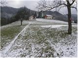 2
2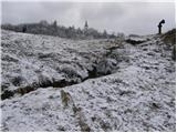 3
3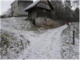 4
4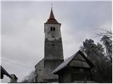 5
5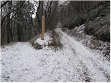 6
6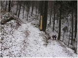 7
7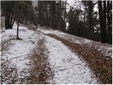 8
8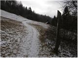 9
9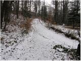 10
10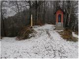 11
11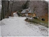 12
12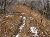 13
13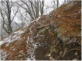 14
14 15
15
Discussion about the trip Žlebe - Jeterbenk (western way)
To post a comment you must log in:
If you do not yet have a username, you must first
register.