Žlebe - Sveti Jakob (via Jeterbenk)
Starting point: Žlebe (410 m)
| Latitude/Longitude: | 46,11210°N 14,39540°E |
| |
Route name: via Jeterbenk
Walking time: 2 h 15 min
Difficulty: easy marked way
Elevation gain: 396 m
Elevation difference along the route: 485 m
Map: Škofjeloško in Cerkljansko hribovje 1:50.000
Recommended equipment (summer):
Recommended equipment (winter): crampons
Views: 5.723
 | 1 person like this post |
Access to starting point:
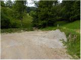
a) First we drive to Ljubljana, then continue driving along Celovška cesta towards Medvode. When we arrive in Medvode, at the first traffic light we turn left across the railway line towards Gole Brdo, Žlebe and Preska. After the railway line we continue left (right Preska) towards Medno, Gole Brdo and Žlebe, then a little further right (straight Medno). About 500 m further we reach the next intersection, where at the beginning of the Seničica settlement we continue right (straight Gole Brdo) towards the Žlebe settlement. When the residential houses of the Seničica settlement end we reach the forest, where at the intersection we continue left towards the Žlebe settlement (also slightly right there are signs for Žlebe - it is a circular road). We continue driving on a slightly ascending road, which we follow to a small pass. At the pass we continue left onto a macadam road, which quickly takes us to the next intersection, where we continue on the lower left road. From the intersection, where there are also hiking direction signs, we drive only about 100 m, or to the left bend, next to which there is a marked parking lot.
b) From Škofja Loka, Kranj or Vodice we drive to Medvode, then continue driving towards Ljubljana. At the last traffic light in Medvode, which is about 100 m further from the Hofer store, we turn right across the railway line towards Gole Brdo, Žlebe and Preska. After the railway line we continue left (right Preska) towards Medno, Gole Brdo and Žlebe, then a little further right (straight Medno). About 500 m further we reach the next intersection, where at the beginning of the Seničica settlement we continue right (straight Gole Brdo) towards the Žlebe settlement. When the residential houses of the Seničica settlement end we reach the forest, where at the intersection we continue left towards the Žlebe settlement (also slightly right there are signs for Žlebe - it is a circular road). We continue driving on a slightly ascending road, which we follow to a small pass. At the pass we continue left onto a macadam road, which quickly takes us to the next intersection, where we continue on the lower left road. From the intersection, where there are also hiking direction signs, we drive only about 100 m, or to the left bend, next to which there is a marked parking lot.
Route description:
From the parking lot we continue along the cart track towards Katarina, Jeterbenk and sv. Marjeta (left Petelinc), which continues on the left side of the stream. After a few dozen steps we leave the mentioned cart track and continue right into the forest, where we first descend to the stream and also cross it. On the other side we ascend gently for a short time, then the path turns right and ascends more steeply. A little higher we reach a marked junction, where we continue left (right church of sv. Marjeta 3 minutes) and at the nearby next one again left. A little further the path splits into two parts, and we continue on the lower left (right Jeterbenk via Turnice), which for some time is not marked, but is marked at most junctions.
From the unmarked junction we first descend gently to a small ravine, then ascend gently to a cart track, which we follow to the left; we walk along it to the place where the "Petelinc" signs direct us right onto a steeper path, which in a few minutes takes us to a meadow (at the edge of the meadow there is a bench), across which we ascend steeply. The path ahead returns to the forest and leads us past ruins to a marked junction, where we join the marked path from Slavkov dom on Golem Brdo.
Here we continue right and begin to ascend along the ridge of Jeterbenk, from which we occasionally get some views to the south. Higher we reach a kind of pre-summit, from which we descend to a small pass, where we join the path from Katarina. Here we continue straight and in a few steps reach the summit, in the middle of which stands a large cross.
From the junction a few steps below the summit we continue in the direction of Katarina and first descend steeply through the forest, then reach a weekend house, where the path levels out and leads us to the road. We continue along the road, which quickly takes us to the junction at the chapel.
From the mentioned junction, which is at the edge of the forest, we continue straight (sharp left Jeterbenk, left Slavkov dom on Golem Brdo) along the scenic road, which quickly takes us to the next junction, from where we continue straight onto a footpath that continues between two roads (the left road leads towards Katarina, the right towards the Kozomer farm). The path ahead quickly ascends to a bench and table, then for a short time continues along the edge of the forest, where we get a nice view. Higher the path goes into the forest and leads us to a pre-summit, from which it descends past a hut to a cart track. We ascend along the cart track for only a short time, then at the place where the cart track turns slightly to the right, we continue straight up onto a well-trodden trail, which begins to ascend steeply across a meadow. Higher the path goes into the forest, where it ascends even more steeply. When we step out of the forest a little higher we are already at the summit of Rog by a large wooden cross.
From the summit we continue along a pleasant ridge path that leads along a scenic ridge, then the path crosses a belt of forest, after which we reach a junction. At the junction a path branches left to the church of sv. Katarina, and we continue slightly right along a somewhat less distinct but still well-followable trail, which continues for some time across a meadow, then passes into the forest and descends to a narrower macadam road that leads from Topol towards the hamlet of Brezovica. We walk along the road for a short time, following it to the right, then reach a well-marked junction at the edge of a small hamlet.
The marked path bypasses the hamlet on the right side, then continues along a wide cart track, from which we get a nice view of our destination and in good weather also of the Kamnik and Savinja Alps and the Posavje hills. On the other side of the scenic meadow the path approaches the forest, where the path from Sora and Preska also joins. Here too we continue left; we walk along the cart track for only a few dozen steps, as the markings then direct us right onto a relatively steep path that continues along the edge of the forest (also, if we continue along the cart track we will reach the summit). During the ascent we get a nice view towards Polhograjska Grmada, and from the summit, which we reach in a few minutes, also towards the other peaks of the Polhograjsko hribovje.

Photos:
 1
1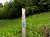 2
2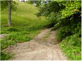 3
3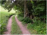 4
4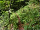 5
5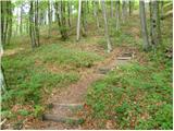 6
6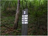 7
7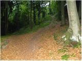 8
8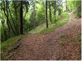 9
9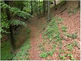 10
10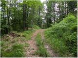 11
11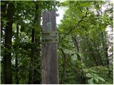 12
12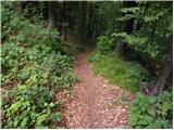 13
13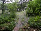 14
14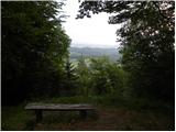 15
15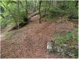 16
16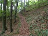 17
17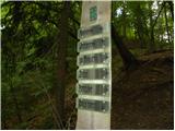 18
18 19
19 20
20 21
21 22
22 23
23 24
24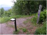 25
25 26
26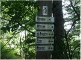 27
27 28
28 29
29 30
30 31
31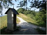 32
32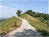 33
33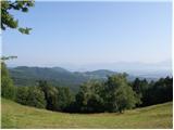 34
34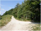 35
35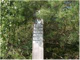 36
36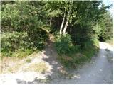 37
37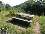 38
38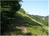 39
39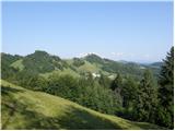 40
40 41
41 42
42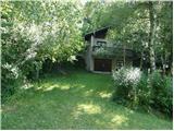 43
43 44
44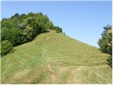 45
45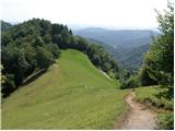 46
46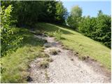 47
47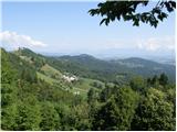 48
48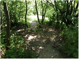 49
49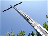 50
50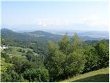 51
51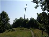 52
52 53
53 54
54 55
55 56
56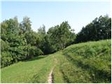 57
57 58
58 59
59 60
60 61
61 62
62 63
63 64
64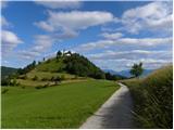 65
65 66
66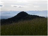 67
67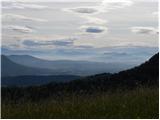 68
68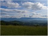 69
69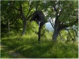 70
70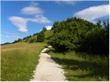 71
71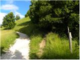 72
72 73
73 74
74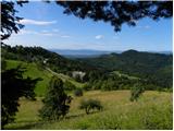 75
75 76
76 77
77 78
78
Discussion about the trip Žlebe - Sveti Jakob (via Jeterbenk)
|
| xjl1919. 10. 2020 |
Hello, today we wanted to hike this path, but we failed. Namely, already after 5 minutes we reached the point where we had to turn back due to unclear/ambiguous/incomplete/wrong(?) instructions and postpone the plan to (hopefully near) future.
The instructions at the start are clear: "After a few dozen steps leave the mentioned cart track and continue right into the forest, where we first descend to the stream and cross it. On the other side we climb gently for a short time, then the path turns right and climbs steeper." Up to here no problems. Then they continue: "Somewhat higher we arrive at a marked junction, where we continue left (right church of St. Marjeta 3 minutes)". Such a junction can only be the educational trail sign with three photos and pointer to St. Marjeta, which we easily found. From it only one path continues - to the right (which brings us to the church of St. Marjeta in a couple of minutes). To the left there is no path, not even a narrow trail. Unless it is completely overgrown and covered...
Politely asking for help. Thank you and good luck!
|
|
|
|
| ben19. 10. 2020 |
This description is obviously quite outdated. Namely, that path you were looking for to the left is unfortunately completely buried by that famous ice storm and is quite difficult to pass. But it can be done... with quite some gymnastics  If you want to go via Petelinca to Jeterbenk and then continue according to the description to Sveti Jakob, it's best after a few dozen steps not to go right into the forest but straight on the cart track. But this section to Petelinca is unmarked and may have traps, easy to get lost. If it's your first time in these parts, I recommend going straight to Sv. Marjeta and there left on cart track and marked path to chapel in pic. 32 and from there to top of Jeterbenka. From there back to chapel and continue per above description. Hope I didn't complicate too much If you want to go via Petelinca to Jeterbenk and then continue according to the description to Sveti Jakob, it's best after a few dozen steps not to go right into the forest but straight on the cart track. But this section to Petelinca is unmarked and may have traps, easy to get lost. If it's your first time in these parts, I recommend going straight to Sv. Marjeta and there left on cart track and marked path to chapel in pic. 32 and from there to top of Jeterbenka. From there back to chapel and continue per above description. Hope I didn't complicate too much 
|
|
|
To post a comment you must log in:
If you do not yet have a username, you must first
register.