Starting point: Žlebinje (379 m)
| Latitude/Longitude: | 45,57690°N 13,87510°E |
| |
Walking time: 50 min
Difficulty: easy marked way
Elevation gain: 58 m
Elevation difference along the route: 95 m
Map: Primorje in Kras 1:50.000
Recommended equipment (summer):
Recommended equipment (winter):
Views: 5.320
 | 1 person like this post |
Access to starting point:
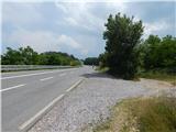
From the highway Koper - Ljubljana we take the exit Kastelec, then continue right in the direction of Ljubljana, Kozina and Podgorje. There follow two more crossroads, where we keep to the direction for Kozina; when we reach the old road Koper - Ljubljana we drive along it to the first turn-off of the forest road to the right (the turn-off from the main road is located near the spot where the highway enters the tunnel Kastelec). We drive onto the mentioned road, which immediately changes into a cart track, and we park in an appropriate place beside the side road.
The starting point is appropriate if we come from the direction of Kastelec or Črni Kal, because from the opposite direction it is prohibited to turn onto the side road. If we come from the direction of Kozina, then the starting point Varda is more appropriate.
Route description:
From the starting point we continue on the cart track, then after a few steps we reach a marked path which we follow to the left (right Črni Kal). The path ahead leads us through the underpass under the main road, then on the other side we continue right in the direction of Varda and Socerb castle. There follow a few junctions where we follow the blazes, then a steep ascent to the summit of Črnokalska Varda, where there is a stamping box and from where a nice view opens up.
From Varda there follows a short descent, then some 10 steps along the grass-overgrown path and we reach a larger parking lot (in descriptions starting point Varda), where we continue left to the northern edge of the parking lot.
On the northern side of the larger parking lot we notice a cart track along which we continue the path; we soon arrive at old benches. Behind the benches the cart track changes into a slightly overgrown footpath from which a nice view opens up onto the nearby Tinjan. We walk for a few minutes along some sort of edge, then the path turns slightly to the right and brings us to a macadam road along which we continue straight. Some 10 steps further, the path from Kastelec and one of the paths from Osp joins us from the left.
We continue straight or slightly right again, then after a minute or two we arrive at the place where we join the path from the village Petrinje (at the mentioned junction we also reach SPP).
We continue left in the direction of Socerb (right Petrinje and Slavnik) along the subsequently wider macadam road which leads us through the karst landscape. A few minutes further we reach an asphalt road, which we soon leave as the blazes lead us slightly right onto the path that takes us past Sveta jama (entrance to the cave is locked) back onto the asphalt road in a few minutes. When we reach the road again, we follow it all the way to Socerb castle, from which a nice view opens up.
Description and pictures refer to the condition in 2016 (June).

Photos:
 1
1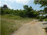 2
2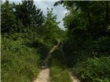 3
3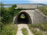 4
4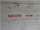 5
5 6
6 7
7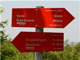 8
8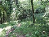 9
9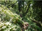 10
10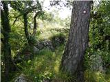 11
11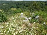 12
12 13
13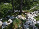 14
14 15
15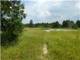 16
16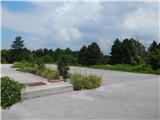 17
17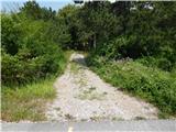 18
18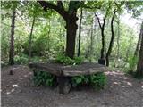 19
19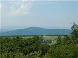 20
20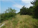 21
21 22
22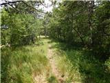 23
23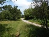 24
24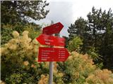 25
25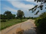 26
26 27
27 28
28 29
29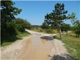 30
30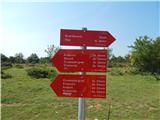 31
31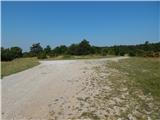 32
32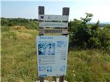 33
33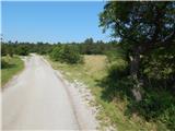 34
34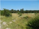 35
35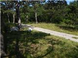 36
36 37
37 38
38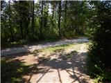 39
39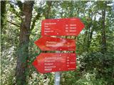 40
40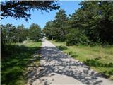 41
41 42
42 43
43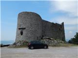 44
44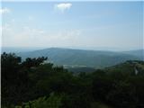 45
45
Discussion about the trip Žlebinje - Socerb Castle
To post a comment you must log in:
If you do not yet have a username, you must first
register.