Zlogonje - Vidikovac Vukovoj
Starting point: Zlogonje (295 m)
| Latitude/Longitude: | 46,29830°N 16,03460°E |
| |
Walking time: 45 min
Difficulty: easy unmarked way
Elevation gain: 196 m
Elevation difference along the route: 196 m
Map:
Recommended equipment (summer):
Recommended equipment (winter): ice axe, crampons
Views: 151
 | 1 person like this post |
Access to starting point:
a) If entering Croatia via the Meje border crossing, Zlogonje is the first village in Croatia. To reach Medribnik or the border from Ptuj, follow signs for Zavrč and Varaždin. In the settlement of Dolane, at the bridge over the Drava, turn towards Cirkulan, then follow signs for Medribnik and Meje.
Park your vehicle in Zlogonje at a suitable spot, preferably near the Stil inn.
b) Enter Croatia via the Gruškovje / Macelj border crossing. Right after the border, exit the highway and head east towards Varaždin, Ivanec, and Trakoščan. In Trakoščan, turn left towards Cvetlin and Višnjica, and drive to Donja Višnjica. In Donja Višnjica, take the left turn for Zlogonje village. The best parking spot in Zlogonje is near the Stil inn.
Route description:
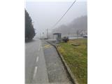
From the Stil inn, head east towards the Medribnik settlement, then at the junction, turn right towards Donja Voća. The road ascends in several switchbacks to the pass between the villages of Zlogonje and Rijeka Voćanska. At this pass, leave the asphalt and turn right into the forest.
Walk through the forest on a steep, well-maintained cart track, but at the first junction, turn left onto a poorer forest track. Continue onward; the incline eases, and the path, which has been heading east, turns southwest.
The path then emerges from the forest onto a small meadow with feeders and a hunting observation post. Continue uphill and re-enter the forest to the east. Here, the path turns left again towards the east and becomes quite steep, with a somewhat rockier surface.
Higher up, the steepness gradually decreases, and you'll notice some old, faded trail markings on the trees. The forest thins out, the path levels, and you exit the forest to reach the small church of St. Wolfgang.
Nearby, there's a small cabin where you can take shelter from the rain.
From the church, make a sharp right turn and follow the road for about a minute to reach Vidikovac Vukovoj, where a 20-meter viewing tower stands.
Despite the relatively low elevation, the tower offers an exceptional panoramic view. On clear days, even the Alps are visible.

Photos:
 1
1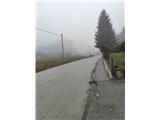 2
2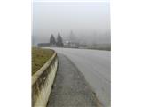 3
3 4
4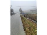 5
5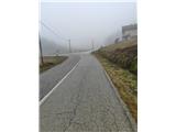 6
6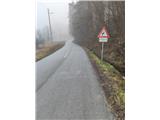 7
7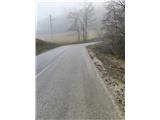 8
8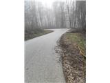 9
9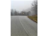 10
10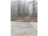 11
11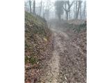 12
12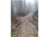 13
13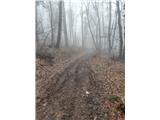 14
14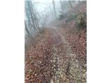 15
15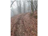 16
16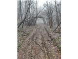 17
17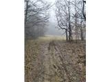 18
18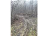 19
19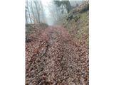 20
20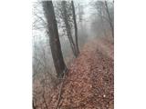 21
21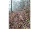 22
22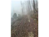 23
23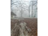 24
24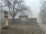 25
25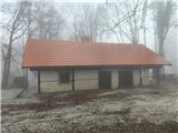 26
26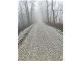 27
27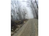 28
28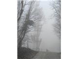 29
29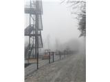 30
30
Discussion about the trip Zlogonje - Vidikovac Vukovoj
To post a comment you must log in:
If you do not yet have a username, you must first
register.