Žuljana - Sveti Ivan (Pelješac)
Starting point: Žuljana (10 m)
| Latitude/Longitude: | 42,88945°N 17,45831°E |
| |
Walking time: 1 h 45 min
Difficulty: easy marked way
Elevation gain: 459 m
Elevation difference along the route: 459 m
Map:
Recommended equipment (summer):
Recommended equipment (winter):
Views: 257
 | 1 person like this post |
Access to starting point:
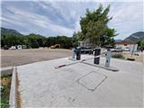
We drive across the Pelješac Bridge and continue through the Debeli Brijeg Tunnel. After it, we leave the motorway and head right towards Orebić. We proceed to the village of Dubrava, where the road to Žuljana branches off to the left. Upon arriving in Žuljana, parking options are very limited. The only parking lot is a paid gravel one, at 1.9€ per hour, located half a kilometre further from Žuljana towards the south.
Route description:
From the parking lot continue forward along the road to the junction, where we turn right and after approximately 200 metres turn right again. Soon we also turn left. The narrow asphalt road leads us through a small valley. Just after the chapel on the right side, we pay very close attention to the unmarked branch to the left. We turn left and the gravel road quickly changes into a cart track and ends among olive trees. Here we continue straight and search for the trail that goes into the forest. The path turns left and climbs somewhat more steeply to the gravel road, where old markers appear. We continue left to a smaller saddle. Here a cairn directs us right onto the trail. We cross the slope to the right and transition to the less overgrown western slope of Oštra Glavica (272 m). The path climbs in serpentines through scree terrain and returns back into the forest. The trail is very overgrown with low shrubbery on this section, so we must carefully follow the markers, which are mostly on stones. After approximately 30 minutes of ascent along the trail we arrive at the road. From the right the road joins us, if at the branch for the chapel we had gone straight along the road. We continue straight along the road, which makes a bend, then for some time climbs transversely to the next junction, where the road from the village of Putniković joins us. We continue right and after a few metres we are again at a junction, where the road to the chapel branches left, which is 10 minutes away. The road soon ends and changes into a well-trodden path. The path climbs steeply and with ever better views towards Mljet we arrive at Sveti Ivan, where the geodetic pillar stands.
Description and photos refer to the state in August 2025.

Photos:
 1
1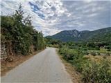 2
2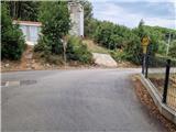 3
3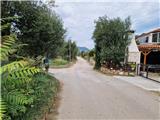 4
4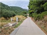 5
5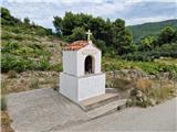 6
6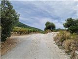 7
7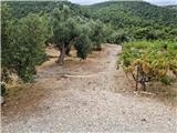 8
8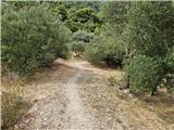 9
9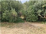 10
10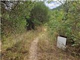 11
11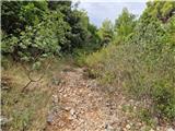 12
12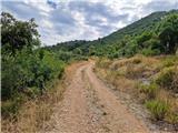 13
13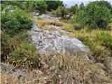 14
14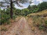 15
15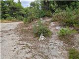 16
16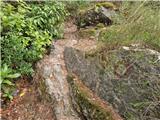 17
17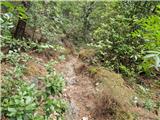 18
18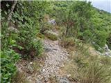 19
19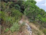 20
20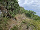 21
21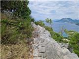 22
22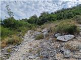 23
23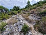 24
24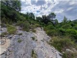 25
25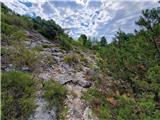 26
26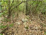 27
27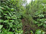 28
28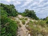 29
29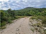 30
30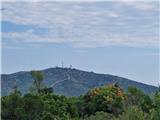 31
31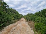 32
32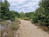 33
33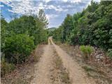 34
34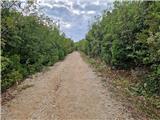 35
35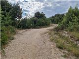 36
36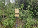 37
37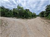 38
38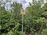 39
39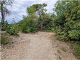 40
40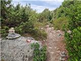 41
41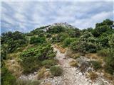 42
42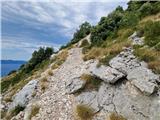 43
43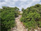 44
44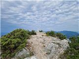 45
45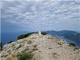 46
46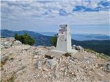 47
47 48
48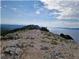 49
49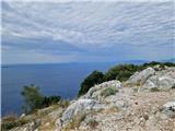 50
50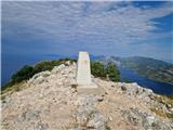 51
51
Discussion about the trip Žuljana - Sveti Ivan (Pelješac)
To post a comment you must log in:
If you do not yet have a username, you must first
register.