Loška Koritnica - Jalovec (čez Kotovo sedlo)
Starting point: Loška Koritnica (727 m)
| Latitude/Longitude: | 46,41293°N 13,62294°E |
| |
Route name: čez Kotovo sedlo
Walking time: 6 h 15 min
Difficulty: very difficult marked way
Elevation gain: 1918 m
Elevation difference along the route: 1918 m
Map:
Recommended equipment (summer): helmet, self belay set
Recommended equipment (winter): helmet, ice axe, crampons
Views: 215
 | 2 people like this post |
Access to starting point:
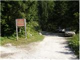
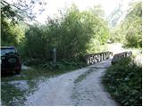
From Bovec we drive towards the Predel border crossing. In the village of Log pod Mangartom, immediately after the bridge over Predilnica we turn right in the direction of Koritnica. First an asphalt and then a gravel road takes us after three kilometres to the parking lot in front of the bridge over Koritnica (sign prohibiting driving).
Route description:
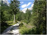
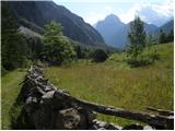
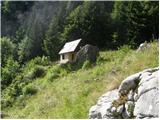
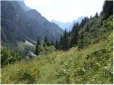
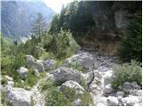
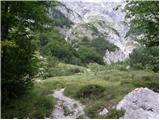
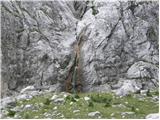
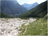
From the starting point we continue across the bridge along the road. The road runs all the time near the stream and crosses it several times. Towards the end the road becomes narrower and leads us past a few houses to a junction. We turn slightly right onto the footpath marked Jalovec, Mangrt (left Planina Brdo). The path then enters the forest and soon a path branches off to the right towards the Čez Brežice saddle and further towards Zavetišče pod Špičkom. From the forest the path leads us onto grassy slopes and on the left side of the path we will notice a hunting hut. We continue for some time on grassy terrain, then we enter the forest again for a short time. When we leave the forest we will soon notice a small waterfall on the left side. We ascend again on grassy terrain along the torrent bed and all the time we have beautiful views of the surrounding peaks (Briceljk, Jalovec, Mangart, Vevnica). From the grassy slopes we then slowly reach the scree, the path here is poorly marked, there are almost no blazes, but there are some cairns, the path is partly trodden. Higher to the right it leads us to a path junction. Left branches off the path towards Mangart, our path goes right along a well-marked and visible trail. The trail runs along a long ledge to the right, which ends in a gravel gully. This is followed by a demanding secured section across a rocky ravine. Higher we continue on grassy rocky slopes, cross scree and several rock slabs. This section is well marked. After four hours we reach Kotovo sedlo, there we turn right in the direction of Jalovec. We continue along and on the ridge, then the path turns slightly right and leads us to the western slopes of Jalovec. Here we ascend on an increasingly rocky slope, following a path that is not yet too technically demanding up to an altitude of approximately 2400 metres. Here the path becomes steep, and the first protections are also helpful (first protections on the path from Kotovo sedlo onwards).
At the beginning of the climbing section the path crosses the exposed western slopes of the mountain, then turns left, where some climbing along a steel cable is required further on. This is followed by a short descent into a steep gully, which we cross, then on the other side with the help of steel cables we begin to ascend an exposed slope, the markings here are faded. This is followed by some more climbing over dissected rock, then we reach the main ridge, where we join the paths via Jalovška škrbina, Vršič, Trenta, Bavšica and other paths from Loška Koritnica.
Here we continue left and only a few minutes of ascent on an increasingly scenic ridge remain and the path leads us to the summit of Jalovec.

Photos:
 1
 2
 3
 4
 5
 6
 7
 8
 9
 10
 11
 12
 13
 14
 15
 16
 17
 18
 19
 20
 21
 22
 23
 24
 25
 26
 27
 28
 29
 30
 31
 32
 33
 34
 35
 36
 37
 38
 39
 40
 41
 42
 43
Discussion about the trip Loška Koritnica - Jalovec (čez Kotovo sedlo)
|
| darinka427. 10. 2026 07:58:18 |
This one is still waiting.
|
|
|
To post a comment you must log in:
If you do not yet have a username, you must first
register.