Makole - Source of Topli (Studeniški) potok (Jakobova pot)
Starting point: Makole (255 m)
| Latitude/Longitude: | 46,31815°N 15,66701°E |
| |
Route name: Jakobova pot
Walking time: 1 h 30 min
Difficulty: easy marked way
Elevation gain: 40 m
Elevation difference along the route: 60 m
Map:
Recommended equipment (summer):
Recommended equipment (winter): ice axe, crampons
Views: 27
 | 1 person like this post |
Access to starting point:
a) Drive to Poljčane, then follow the signs for Majšperk and Makole. In the settlement of Stranske Makole or slightly beyond the settlement of Stranske Makole, turn right towards Makole, where in the centre of the settlement, at the marked parking lot next to the cemetery, we park.
b) Drive to Slovenska Bistrica, then head to the road towards Makole. Continue following the signs for Makole, and park at the marked parking lot next to the cemetery in the centre of the settlement.
c) From Ptuj, follow the signs for Majšperk, and when arriving in Majšperk, follow the signs for Makole. When arriving in Makole, park at the marked parking lot next to the cemetery.
Route description:
From the parking lot, walk to the main road and continue right to the nearby roundabout, where we take the road with signs for Jelovec pri Makolah and sv. Urban.
Continue on the somewhat narrower road that leads us across the Jelovski potok stream. Makole ends a little further on, and at the intersection with the dead-end street, we continue straight ahead (here a marked path branches off to the left towards Boč).
The rare markings end here, but we continue along Jakob's Path, which first leads past individual houses, then the asphalt ends and the path leads along the left side or right bank of the Dravinja River.
On the eastern edge of the Krasna settlement, near a few houses, the road becomes asphalt again, and we continue in approximately the same direction. When we reach a somewhat wider road, go right, a few dozen metres further left onto another side road, along which the markings of Jakob's Path continue. There follows some walking along the asphalt road with a nice view of Boč, and when we arrive in Studenice, from a smaller intersection go left towards the monastery.
A gentle ascent follows past a few houses to the Studenice Dominican Monastery. Here we go slightly right (to the left are the ruins of Studenice Castle) and bypass the monastery complex on the right side. We continue along the educational trail, which enters the forest and ascends transversely above a fairly steep bank above the stream. A little further on, the slope flattens. When we reach the old Roman road, we turn left and soon arrive at the head of the valley, where the source of the Topli potok stream is located.
The description and photos refer to the condition in May 2022 and April 2026.

Along the route: Krasna (255m), Studenice (257m), Samostan dominikank Studenice (264m)
Photos:
 1
1 2
2 3
3 4
4 5
5 6
6 7
7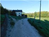 8
8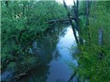 9
9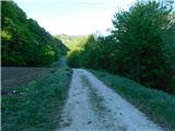 10
10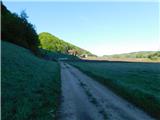 11
11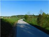 12
12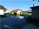 13
13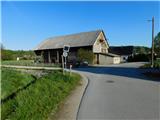 14
14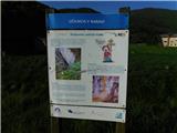 15
15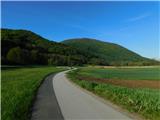 16
16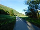 17
17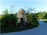 18
18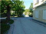 19
19 20
20 21
21 22
22 23
23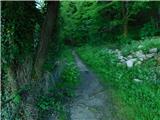 24
24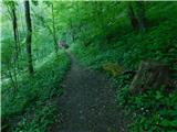 25
25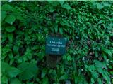 26
26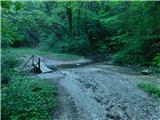 27
27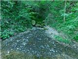 28
28
Discussion about the trip Makole - Source of Topli (Studeniški) potok (Jakobova pot)
To post a comment you must log in:
If you do not yet have a username, you must first
register.