Zgornje Poljčane - Rančka (po Jakobovi poti)
Starting point: Zgornje Poljčane (276 m)
| Latitude/Longitude: | 46,30395°N 15,58223°E |
| |
Route name: po Jakobovi poti
Walking time: 1 h 25 min
Difficulty: easy marked way
Elevation gain: 339 m
Elevation difference along the route: 380 m
Map:
Recommended equipment (summer):
Recommended equipment (winter): ice axe, crampons
Views: 30
 | 1 person like this post |
Access to starting point:
a) From the Ljubljana - Maribor motorway, we take the exit for Slovenske Konjice, then follow the signs for Žiče; in Žiče we turn left towards Poljčane. We continue through Loče and Zbelovo to Poljčane, where we turn right, cross the Dravinja river, and arrive in Zgornje Poljčane; we turn left towards the cemetery where we park.
b) From the Maribor - Ljubljana motorway, we take the exit for Slovenska Bistrica South, then follow the signs for Poljčane and Rogaška Slatina. After Poljane we cross the Dravinja river and arrive in Zgornje Poljčane; we turn left towards the cemetery where we park.
Route description:
From the cemetery we walk to the main road, where at Prvomajski trg we carefully cross the road at the pedestrian crossing and head onto Rimska ulica, along which there are signs for the Jakobova pot. We then begin to ascend among the houses; at a small junction we turn left onto the road indicated by the scallop shell, the symbol of the Jakobova pot. Higher up we continue past a few houses, and from a scenic grassy area a fine view of Zgornje Poljčane opens up.
Above the settlement the road becomes gravel and levels out, leading us in the immediate vicinity of Kamnolom Poljčane. For a while we walk only a few dozen steps to the right of the fenced quarry area, then the path enters dense forest where we descend to an asphalt road.
We follow the asphalt road briefly uphill to the left, then the Jakobova pot signs direct us right onto a track. This continues transversely to the right through the forest and after a few minutes joins the usual path marked with Knafelč markings.
Here we turn left, cross the wooded slopes of Zalonča (523 m), and later begin a moderate descent. Lower down we leave the forest and continue across a scenic meadow to the point where a marked but unmarked path to Rančka branches sharply left.
We continue towards Rančka (straight on Ljubična gora) and keep ascending on the track, which higher up levels out and shortly afterwards descends briefly to a small saddle where we turn left towards Rančka. A few more minutes of steep ascent on the track follow; higher up it turns into a footpath, which quickly brings us to the registration box on Rančka, while the highest point lies a little further on a fairly overgrown section.
The description refers to conditions in April 2024 and June 2026.

Photos:
 1
1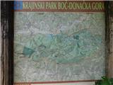 2
2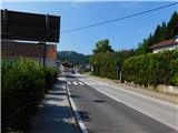 3
3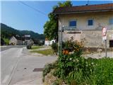 4
4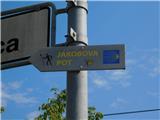 5
5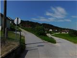 6
6 7
7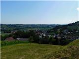 8
8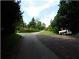 9
9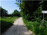 10
10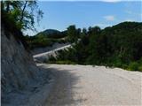 11
11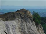 12
12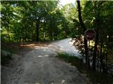 13
13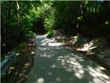 14
14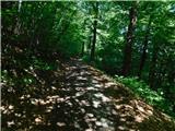 15
15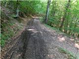 16
16 17
17 18
18 19
19 20
20 21
21 22
22 23
23 24
24 25
25 26
26 27
27 28
28
Discussion about the trip Zgornje Poljčane - Rančka (po Jakobovi poti)
To post a comment you must log in:
If you do not yet have a username, you must first
register.