Rudnik v Topli - Križnik (Peca)
Starting point: Rudnik v Topli (1080 m)
| Latitude/Longitude: | 46,48590°N 14,76470°E |
| |
Walking time: 3 h
Difficulty: easy unmarked way, easy pathless terrain
Elevation gain: 1029 m
Elevation difference along the route: 1100 m
Map: Kamniške in Savinjske Alpe 1:50.000
Recommended equipment (summer):
Recommended equipment (winter): ice axe, crampons
Views: 32
 | 1 person like this post |
Access to starting point:
a) We drive to Črna na Koroškem (here from Raven na Koroškem or from Šoštanj via the Spodnje Sleme pass), then continue driving towards Koprivna. We then ascend along the Meža river and drive along it to the junction where the road to the Topla valley branches off to the right. The path ahead leads us along the Topla stream, and we drive along the ascending road to the parking lot at the entrance to the mine in Topla.
b) We drive to Luče (here from Mozirje or from Kamnik via the Volovljek pass (Kranjski Rak)), then continue driving towards Logarska dolina. In the village of Solčava we leave the main road towards Logarska dolina and continue driving right in the direction of Podolševa, the Spodnje Sleme pass and Črna na Koroškem. The road then loses its asphalt surface, and after a few kilometers at the junction in Podolševa we turn right towards Črna na Koroškem. The road, which then mainly ascends transversely, takes us after some time to the Spodnje Sleme pass. From the pass the road begins to descend, and we follow it in the direction of Črna na Koroška. After a few kilometers we descend into the valley, at the junction we turn right towards Črna na Koroška (left Koprivna). We descend on the main road for only a short time, then the signs for the Topla valley direct us left onto the ascending road. The path ahead leads us along the Topla stream, and we drive along the ascending road to the parking lot at the entrance to the mine in Topla.
Route description:
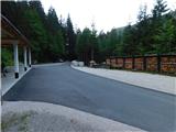
From the place where we park, we first walk to the farm building, where the signs for Dom na Peci direct us onto the path that ascends across the pasture. Upon entering it, a warning sign reminds us that we enter the pasture area at our own risk. We quickly reach a poorer cart track and continue the ascent along it. After a few switchbacks, a marked but subsequently unmarked path branches off to the left towards Knepsovo sedlo (on some maps also marked as Knipsovo sedlo).
We turn onto the mentioned path (straight ahead leads the usual path towards Dom na Peci and Kordeževa glava) and continue ascending along a grassy cart track. Higher up we reach a somewhat wider, stony cart track, which we follow left upwards, and from it we soon turn right onto a trail marked for Peca and Knepsovo sedlo.
The path immediately begins to ascend steeply. On this section, especially when wet, there is a greater risk of slipping. The path then turns left and crosses a grassy gully, and on the other side of the gully or ravine it becomes even steeper. This is followed by an ascent up a very steep slope, which higher up takes us to a viewpoint from where there is a nice view towards Raduha. A little higher a signpost directs us a little more to the left. Further on the forest becomes increasingly sparse, so views of the Carinthian mountains open up more and more frequently. A little further the path enters a belt of dwarf pine, where the steepness begins to ease. This is followed by about 15 minutes of moderate ascent, then near Knepsovo sedlo we join the marked path Knepsovo sedlo–Kordeževa glava and follow it to the left.
This is followed by some easy ascent and the path forks. We choose the slightly right path (the left path leads towards Koprivna and Kumr), which quickly takes us to a marked junction on the Austrian side of Knepsovo sedlo.
Here we turn left upwards in the direction of Bistriška špica / Feistritzer Spitze (straight down the cable car to Peca; the path past the old hut, right the usual path towards the cable car on the Austrian side of Peca) and begin to ascend steeply along the scenic slopes of Končnikov vrh. This is followed by about 15 minutes of ascent and we arrive at the scenic Končnikov vrh.
From Končnikov vrh we begin to descend along the marked path that continues westwards, and during the descent in good weather we can clearly see the nearby Križnik and the somewhat more distant Bistriška špica ahead. The path quickly descends along the ridge to an indistinct saddle between Končnikov vrh and Križnik, and a little further the path from the area along the state border completely crosses to the Austrian side, where the path continues along the slopes of Križnik. This is followed by a traversing ascent; when the dwarf pine on the right side ends and a passage towards the ridge opens across the grassy section, we leave the marked path and ascend to the ridge along an easier pathless route, where we then turn right and in a few steps reach the scenic and somewhat less known Križnik.
Starting point - Knepsovo sedlo 2:25, Knepsovo sedlo - Končnikov vrh 0:15, Končnikov vrh - Križnik 0:20.

Photos:
 1
1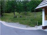 2
2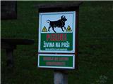 3
3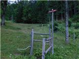 4
4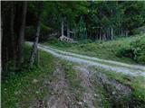 5
5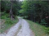 6
6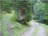 7
7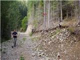 8
8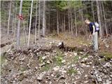 9
9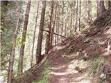 10
10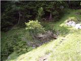 11
11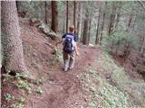 12
12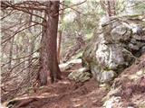 13
13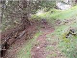 14
14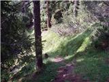 15
15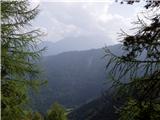 16
16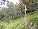 17
17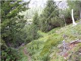 18
18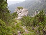 19
19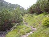 20
20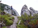 21
21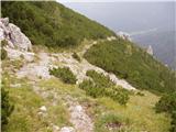 22
22 23
23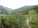 24
24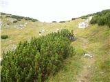 25
25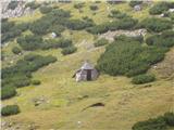 26
26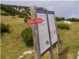 27
27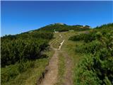 28
28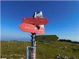 29
29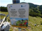 30
30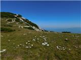 31
31 32
32 33
33 34
34 35
35 36
36 37
37 38
38 39
39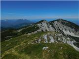 40
40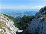 41
41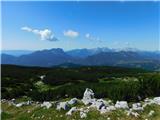 42
42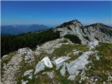 43
43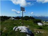 44
44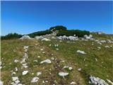 45
45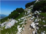 46
46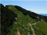 47
47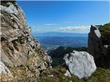 48
48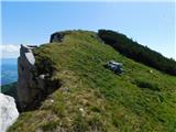 49
49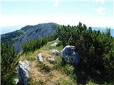 50
50
Discussion about the trip Rudnik v Topli - Križnik (Peca)
To post a comment you must log in:
If you do not yet have a username, you must first
register.