Bukovniško jezero - Voglerjeva koča
Starting point: Bukovniško jezero (187 m)
| Latitude/Longitude: | 46,66901°N 16,33932°E |
| |
Walking time: 45 min
Difficulty: easy marked way
Elevation gain: 70 m
Elevation difference along the route: 90 m
Map: Pomurje 1:40.000
Recommended equipment (summer):
Recommended equipment (winter):
Views: 119
 | 1 person like this post |
Access to starting point:
Leave the Pomurska motorway at the Gančani exit, then follow the signs to Renkovci and further to Dobrovnik. When we reach the main road Murska Sobota - Lendava in Dobrovnik, we continue right, a little further on we turn left towards Bukovniško jezero. A short drive follows and we arrive at the arranged parking lot in front of Bukovniško jezero.
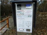
The parking lot is chargeable.
Route description:
From the parking lot, continue along the path that runs parallel to the road and quickly leads us to a marked junction, where the path to Strehovske gorice and the path to sv. Vid branches off to the left.
Continue straight and shortly afterwards arrive at Bukovniško jezero, where we proceed along the right side of the lake. The path ahead leads along an asphalt road and quickly ascends to a marked intersection, where we turn onto the right road, along which there are signs for Voglerjeva koča.
Continue along the gravel road, which moderately ascends through the forest, higher up it levels out and brings us to a junction on a sort of ridge, where we go left, again towards Voglerjeva koča (straight downhill to Kobilje, right to Dobrovnik) and continue further along the road through the forest. Later, a short descent follows; when we arrive at the next marked junction, we go left towards Voglerjeva koča (right to Motvarjevci).
A few more minutes of easy walking through the forest follow and we arrive at Voglerjeva koča, where there is a resting area under a shelter.
The description and photos refer to the condition in February 2026.

Photos:
 1
1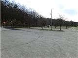 2
2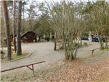 3
3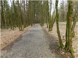 4
4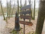 5
5 6
6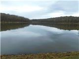 7
7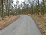 8
8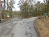 9
9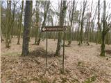 10
10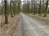 11
11 12
12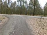 13
13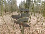 14
14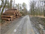 15
15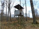 16
16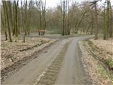 17
17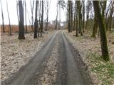 18
18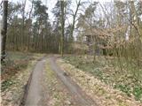 19
19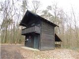 20
20
Discussion about the trip Bukovniško jezero - Voglerjeva koča
To post a comment you must log in:
If you do not yet have a username, you must first
register.