Pristava pri Mestinju - Tinska gora
Starting point: Pristava pri Mestinju (204 m)
| Latitude/Longitude: | 46,19258°N 15,59854°E |
| |
Walking time: 1 h 30 min
Difficulty: easy unmarked way, easy marked way
Elevation gain: 205 m
Elevation difference along the route: 350 m
Map:
Recommended equipment (summer):
Recommended equipment (winter):
Views: 36
 | 1 person like this post |
Access to starting point:
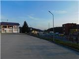
a) Drive to Mestinje, then follow the signs to Podčetrtek. When you arrive in the settlement of Pristava pri Mestinju, turn left at Pekarna Pristava pri Mestinju and park in the parking lot near the fire station Pristava pri Mestinju or below the branch primary school Pristava pri Mestinju.
b) Drive to Brežice, then follow the road towards the settlements Bizeljsko, Bistrica ob Sotli, Podčetrtek and Celje. When you arrive in the settlement of Pristava pri Mestinju, turn right at Pekarna Pristava pri Mestinju and park in the parking lot near the fire station Pristava pri Mestinju or below the branch primary school Pristava pri Mestinju.
Route description:
From the parking lot, continue along the sidewalk in the direction of Podčetrtek. After just a few minutes, behind Betonarna Pristava, turn right, where you first carefully cross the main road, then descend along the asphalt path to the railway crossing. There, carefully cross the tracks too and reach the cycle path on the other side. Cross that as well and continue the trail on the dirt road between fields, from where a nice view opens towards the church of St. Emma.
When the fields end, cross Mestinjščica over the bridge, then walk along the dirt road leading left along a strip of bushes to the nearby asphalt road, where you reach the marked path.
Follow the asphalt road right uphill and begin a fairly steep ascent along it, mostly through the forest and past turn-offs to nearby houses. Higher up, the forest thins and you arrive at a junction by a small stone chapel, where you choose the lower right road (the left leads to the church of St. Urban), along which the markers continue.
Continue along the asphalt road past individual houses and small hamlets. The path descends and ascends several times, and on grassy sections nice views open up. Follow the otherwise sparse markers all the time. Later, a somewhat longer descent follows; when you reach the forest-covered gully, go right at the junction, where you begin a steep ascent. Higher up, leave the gully and climb to a cluster of houses, where you turn right. The road becomes less steep ahead and past a few houses you arrive at the summit register box on Tinska gora, located by the water reservoir.
From the summit register box, you can continue for a few more minutes to the churches on Tinski vrh, where information boards are also placed.
The description and photos refer to the conditions in March 2026.

Along the route: Cmereška Gorca (279m)
Photos:
 1
1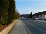 2
2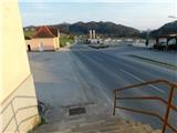 3
3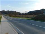 4
4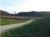 5
5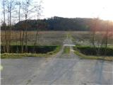 6
6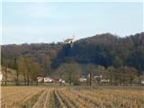 7
7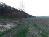 8
8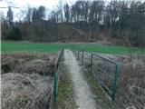 9
9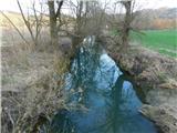 10
10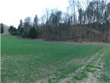 11
11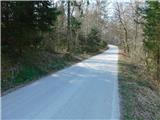 12
12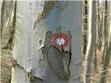 13
13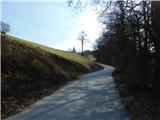 14
14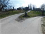 15
15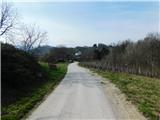 16
16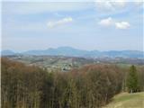 17
17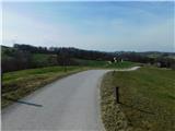 18
18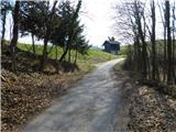 19
19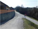 20
20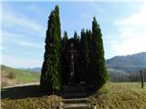 21
21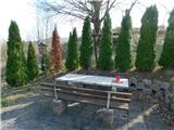 22
22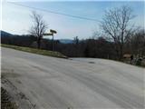 23
23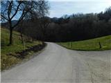 24
24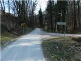 25
25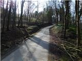 26
26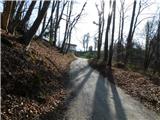 27
27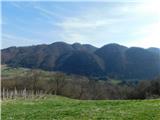 28
28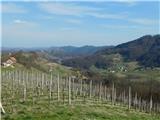 29
29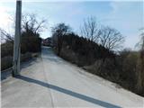 30
30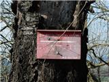 31
31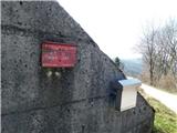 32
32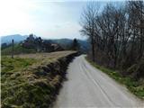 33
33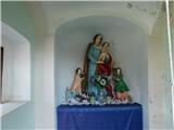 34
34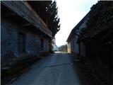 35
35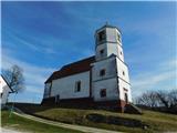 36
36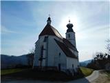 37
37
Discussion about the trip Pristava pri Mestinju - Tinska gora
To post a comment you must log in:
If you do not yet have a username, you must first
register.