Marof pri Pišecah - Veliki vrh (Orlica) (via Velika bukva)
Starting point: Marof pri Pišecah (270 m)
| Latitude/Longitude: | 46,00270°N 15,64090°E |
| |
Route name: via Velika bukva
Walking time: 2 h
Difficulty: easy unmarked way
Elevation gain: 431 m
Elevation difference along the route: 515 m
Map:
Recommended equipment (summer):
Recommended equipment (winter): ice axe, crampons
Views: 51
 | 1 person like this post |
Access to starting point:
a) Drive to Krško, where we first follow the signs for Brežice, then the signs for Zdole, and after Zdole the signs for Bizeljsko. We then drive through Sromlje, following the road to Pišece, where we park at the parking lot by the Ribnik pond, or at the starting point Marof pri Pišecah.
b) From Brežice follow the signs for Bizeljsko, then on the flat section where the road runs through the forest, turn left onto the side road towards Globoko. In the settlement Globoko go right towards Pišece, and continue following the signs for Pišece. Upon arriving in Pišece, park at the parking lot by the Ribnik pond, or at the starting point Marof pri Pišecah.
c) From the direction of Bistrica ob Sotli drive towards Brežice, at the end of the Bizeljsko settlement go right towards Pišece. Upon arriving in Pišece, park at the parking lot by the Ribnik pond, or at the starting point Marof pri Pišecah.
Route description:
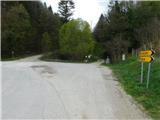
From the starting point, continue along the right or eastern side of the pond, while a dirt road leads along its western side towards Grad Pišece. We start along the gravel road by the stream, where there are still a few parking spots available. Further on, the road becomes somewhat worse, then forks.
Slightly to the left, a path branches off towards Grad Pišece, but we continue slightly to the right along the poorer gravel (it is possible to continue past the castle, but the path is a few minutes longer). We also continue ascending along the stream. Soon, an unmarked cart track joins us from the left from Grad Pišece, and to the right another unmarked cart track branches off, which a bit further joins the marked path.
Continue uphill along the stream, where the poor road finally turns into a cart track. A bit higher, the Path of Sovereignty joins from the left – a path marked with the symbol of the Slovenian tolar, which also leads past Grad Pišece.
Continue straight north. The cart track gradually turns into a footpath, which levels out briefly, then ascends a bit more steeply. After the ramsons growth, it turns right, moves away from the valley bottom, and leads us along its head. The path then quickly turns back to the left and ascends to the forest road, which we reach near the bivouac of the Pišece Hunting Society.
Before the bivouac, go left, then red mountaineering direction signs for Kerinov spomenik and Pečice direct us right onto the mountaineering path (straight Path of Sovereignty), which begins to ascend through the forest. After 15 minutes of ascent, we arrive near the top of Intermedija, where we go right and in a few steps reach the highest point of the peak, from which we get some views through the treetops.
From the top, continue along the marked path, which begins to descend southwest, lower down we return to the road and follow it to the right. A few minutes further, leave the road slightly to the right and continue with the path to the right of the road, later cross it and continue along the marked path to the left of the road. We return to the road at a marked junction of several roads and the marked path, where we go right (left Kerinov spomenik 1-2 minutes), then immediately left towards Veliki vrh (continue along the road to Grad Podsreda, to the castle also possible via Veliki vrh).
The path ahead ascends steeply for a few minutes along the slopes of Šuljcev breg, the markings along the path disappear, but along the path we can notice some marks of the Path of Sovereignty (on this section, some maps show a path over Šuljcev breg, but there is no trodden path over the pasture there, nor markings).
The transit path leading further towards Veliki vrh runs along the forested southern slopes of Šuljcev breg and for some time just crosses the slopes to the left, below the pasture saddle between the two peaks we again notice the mark for the Path of Sovereignty, which does not indicate the direction of continuation. Here go right along the cart track that ascends by the pasture, at the junction where we join the path from the nearby farm, go left, then transversely ascend to the left along a gentle forest path.
When we reach the marked junction west of Veliki vrh, go right and in a few dozen steps ascend to the highest peak of the Orlica range, where there is a monument to the Slovenian tolar.
Starting point - Bivak LD Pišece 0:55, Bivak LD Pišece - Intermedija 0:15, Intermedija - Kerinov spomenik 0:25, Kerinov spomenik - Veliki vrh 0:25.
Description and photos refer to the state in March 2026.

Photos:
 1
1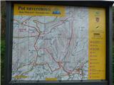 2
2 3
3 4
4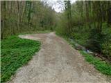 5
5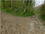 6
6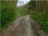 7
7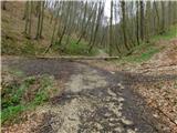 8
8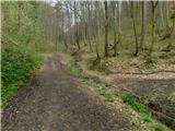 9
9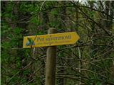 10
10 11
11 12
12 13
13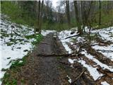 14
14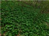 15
15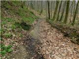 16
16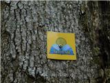 17
17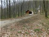 18
18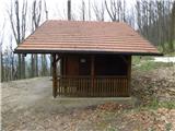 19
19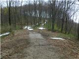 20
20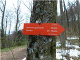 21
21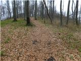 22
22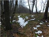 23
23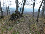 24
24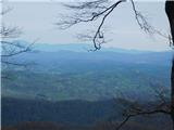 25
25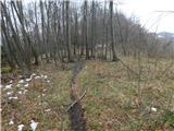 26
26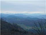 27
27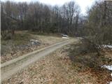 28
28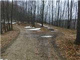 29
29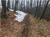 30
30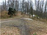 31
31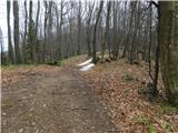 32
32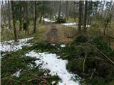 33
33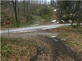 34
34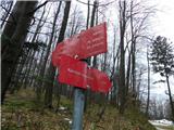 35
35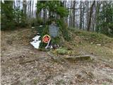 36
36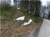 37
37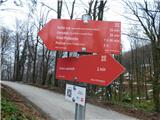 38
38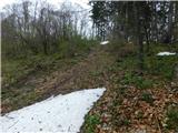 39
39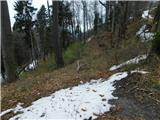 40
40 41
41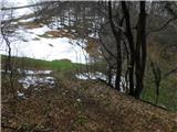 42
42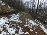 43
43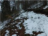 44
44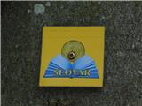 45
45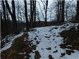 46
46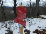 47
47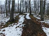 48
48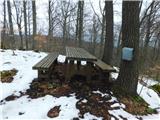 49
49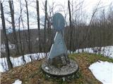 50
50
Discussion about the trip Marof pri Pišecah - Veliki vrh (Orlica) (via Velika bukva)
To post a comment you must log in:
If you do not yet have a username, you must first
register.