Lesično - Vina gora (along the water educational trail)
Starting point: Lesično (307 m)
| Latitude/Longitude: | 46,10162°N 15,51958°E |
| |
Route name: along the water educational trail
Walking time: 45 min
Difficulty: easy marked way
Elevation gain: 212 m
Elevation difference along the route: 220 m
Map:
Recommended equipment (summer):
Recommended equipment (winter): ice axe, crampons
Views: 28
 | 1 person like this post |
Access to starting point:
a) We drive to Šentjur, then follow the signs for Podsreda and Planina pri Sevnici. At the end of Šentjur we turn left towards Podsreda, from where we drive along a rather winding road to the village of Lesično, where the described route begins at the roundabout. We park in one of the parking lots in the center of the village.
b) From the Brežice–Podčetrtek road at the edge of the village of Bistrica ob Sotli we turn left (from the direction of Podčetrtek right) towards Podsreda. We bypass the center of Podsreda on the right side, then drive to the village of Lesično, where the described route begins at the roundabout. We park in one of the parking lots in the center of the village.
c) From the direction of Sevnica and Krško we drive to Brestanica, then follow the signs for Podsreda. This is followed by some ascent and then a descent into Podsreda, where at the end of the village we turn left towards Šentjur and Kozje. We drive to the village of Lesično, where the described route begins at the roundabout. We park in one of the parking lots in the center of the village.
Route description:
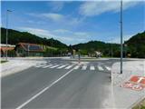
From the place where we parked, we first return to the roundabout, then follow the road towards Kozje. Near the bus stop we reach a marked junction, where the mountain signs for Pilštanj direct us left, but we continue straight along the main road towards Kozje. A little further on the right side of the road, when we notice a roadside rest area, the signs for the Water Educational Trail Lesično–Pilštanj direct us left onto a path that begins to ascend through the forest. In two switchbacks we then climb to a level area, where we join the previously mentioned marked path.
After the junction we reach the central part of the village of Pilštanj, where we go left towards the cemetery (here it is worth continuing straight and making a short detour to also see the center of Pilštanj), but we quickly reach a marked crossroads at the eastern edge of the built-up part of the village past a few houses, from where we head onto the footpath towards Vina gora (left Rudnica, right Stari trg and the cemetery).
The path ahead passes into the forest and begins to ascend transversely to the right. For some time we ascend transversely along a fairly wide path, accompanied by yellow-white markings, then an arrow directs us left onto a temporarily steeper path, which first steeply ascends in two switchbacks, then leads us to the courtyard of a residential house located on the ridge of Vina gora.
Here we continue slightly right towards the viewpoint (the highest point of the mountain is otherwise located left by the transmitters), which we reach after a minute or two of further walking past the open-air museum.
The description and photos refer to the situation in May 2026.

Along the route: Pilštanj (376m)
Photos:
 1
1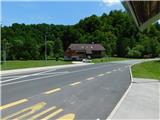 2
2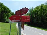 3
3 4
4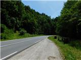 5
5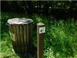 6
6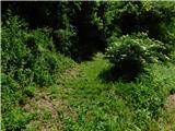 7
7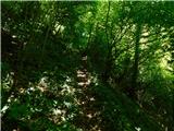 8
8 9
9 10
10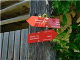 11
11 12
12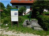 13
13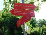 14
14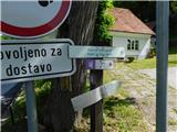 15
15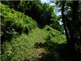 16
16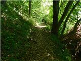 17
17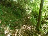 18
18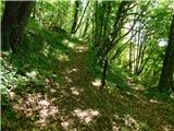 19
19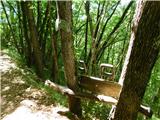 20
20 21
21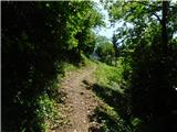 22
22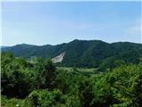 23
23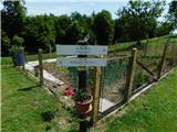 24
24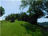 25
25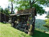 26
26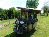 27
27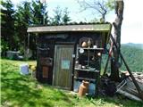 28
28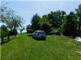 29
29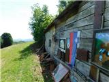 30
30 31
31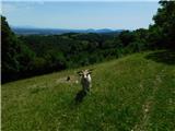 32
32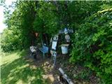 33
33 34
34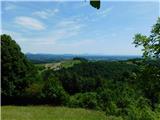 35
35
Discussion about the trip Lesično - Vina gora (along the water educational trail)
To post a comment you must log in:
If you do not yet have a username, you must first
register.