Raduha (Struge) - Koča na Loki pod Raduho
Starting point: Raduha (Struge) (478 m)
| Latitude/Longitude: | 46,36572°N 14,77337°E |
| |
Walking time: 3 h 15 min
Difficulty: easy marked way
Elevation gain: 1056 m
Elevation difference along the route: 1060 m
Map:
Recommended equipment (summer):
Recommended equipment (winter): ice axe, crampons
Views: 221
 | 1 person like this post |
Access to starting point:
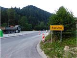
a) We drive to Mozirje, then continue driving towards Logarska dolina. On the main road we drive to the settlement of Raduha, where right at the beginning of the settlement on the right side we see hiking direction signs, but we turn left onto the parking lot on the opposite side of the road, which is located opposite the Okrepčevalnica and pizzeria Struge. We park so that we do not obstruct traffic at the parking lot, especially on the northern part trucks often turn around.
b) From the direction of Gorenjska we drive towards the Črnivec pass, but before the pass we go left in the direction of Kranjski Rak or the Volovljek pass. After the Volovljek pass we start descending towards Luče, in Luče we go right towards Mozirje. Further on the road leads us through the settlement of Raduha, where at the Okrepčevalnica and pizzeria Struge we turn right onto the nearby parking lot, where we park. We park so that we do not obstruct traffic at the parking lot, especially on the northern part trucks often turn around.
Route description:
First we carefully cross the main road, then to the right of the pizzeria, by the bridge over the Lakovnikov potok, we notice a red hiking direction sign. This directs us onto a side road that starts ascending along the mentioned stream. A little further the side asphalt road turns left towards Mizarstvo Selišnik, but we continue straight onto the gravel road that continues ascending along the Lakovnikov potok. Higher up the gravel road turns left and moves away from the stream, but we go slightly right onto a cart track that immediately forks in the forest.
We choose the left cart track that continues along the stream, which takes us out of the forest onto grassy slopes below the Dolinar farm. Here along the left edge of the meadow near the stream we ascend to the asphalt road, where the markings direct us right to the Dolinar farm. When we get quite close to the residential house, the markings direct us right onto a gravel path that bypasses all buildings and the fenced garden on the right side. Immediately behind the garden we turn sharply left onto a cart track that leads us along the upper side of the garden and to the right of the shelter.
Here the markings direct us right in the direction of the cart track that ascends through the forest, but we stay slightly more to the left, so that we start ascending along the right side of the hayfield, right at the edge of the forest, where higher above the crossing of the cart track we notice the next marking. Above the pasture we enter a strip of forest, where we notice a marking that leads us towards the next house, but before it we turn slightly left, so that we bypass the farm buildings on the left side.
When we ascend a little more, we reach another road, which we follow to the right, then from the intersection between the buildings we continue left. When we leave the farm area, the road turns into a forest, through which it starts ascending transversely towards the Radušnik farm. Before the mentioned farm we leave the forest, and to it we ascend on the asphalt road.
At the farm the asphalt ends, but we follow the marked path or cart track that leads us transversely to the right, but in the forest we turn left from it onto the marked path in the direction of Koča na Loki. The path ahead turns slightly to the right again and starts ascending more steeply. Higher up we follow the markings; the path for a short time ascends a little more, then gradually levels and takes us to a gravel road. We follow it to the right to the marked junction, where we join the path with the starting point at Planina Kosmačeve Rastke.
We continue left in the direction of Koča na Loki (to the right of the junction is the peak Cirkovnica, which is less than a minute away from the path) and further we ascend on a poorer forest road that ascends transversely to the left. Higher up the forest thins and on the left side a nice view opens up to us, but we quickly reach the parking lot below Koča na Loki, where most hikers start the trip.
Here we cross the wider gravel road that leads further towards Snežna jama, and continue sharply right onto a poorer road, along which there are signs for Koča na Loki. The path ahead leads us through a strip of forest, then we already arrive at Planina Loka, over which we then ascend to Koča na Loki pod Raduho.
Starting point - Cirkovnica 2:30, Cirkovnica - Koča na Loki 0:45.
The description and pictures refer to the situation in July 2026.

Photos:
 1
1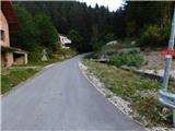 2
2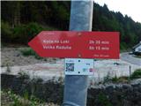 3
3 4
4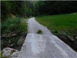 5
5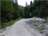 6
6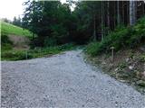 7
7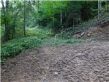 8
8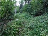 9
9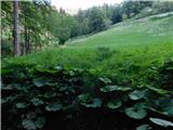 10
10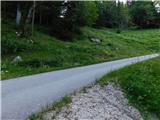 11
11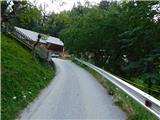 12
12 13
13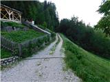 14
14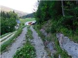 15
15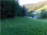 16
16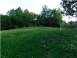 17
17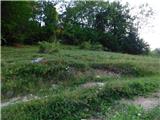 18
18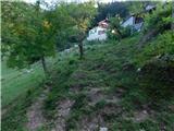 19
19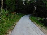 20
20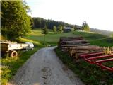 21
21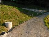 22
22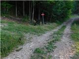 23
23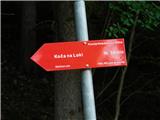 24
24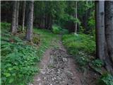 25
25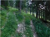 26
26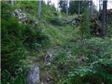 27
27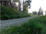 28
28 29
29 30
30 31
31 32
32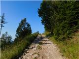 33
33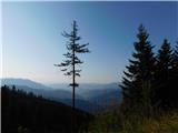 34
34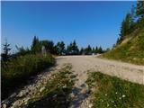 35
35 36
36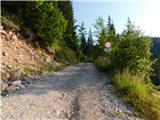 37
37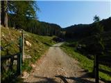 38
38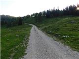 39
39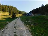 40
40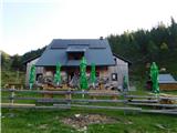 41
41
Discussion about the trip Raduha (Struge) - Koča na Loki pod Raduho
|
| lepenatka7. 08. 2026 10:06:36 |
Thanks for the new description.
But there is one mistake.
At Planina Cirkovica the path from Kosmačevih Rast joins.
|
|
|
|
| Tadej7. 08. 2026 11:14:05 |
Thanks for the warning. I corrected it.
|
|
|
To post a comment you must log in:
If you do not yet have a username, you must first
register.