Jelova Ruja - Planinsko zavetišče Šugarska duliba
Starting point: Jelova Ruja (950 m)
| Latitude/Longitude: | 44,43779°N 15,30087°E |
| |
Walking time: 2 h 45 min
Difficulty: easy marked way
Elevation gain: 260 m
Elevation difference along the route: 400 m
Map:
Recommended equipment (summer):
Recommended equipment (winter): ice axe, crampons
Views: 76
 | 1 person like this post |
Access to starting point:
a) We leave the Adriatic Highway in the town of Karlobag and continue left towards Baške Oštarije; if coming from the direction of Zadar, we turn right. The steep and winding ascending road leads us towards Baške Oštarije. We drive through a short tunnel and arrive at Baške Oštarije. After the Takalice pass the road slowly descends to the village of Brušane. When we arrive in the next village Rizvanuša, at the triangular intersection with a cross, we turn right. We continue on a narrow asphalt road past individual houses. After a good 3 km the road loses its asphalt surface and becomes a gravel road. At first we drive on a level road past a marshy field, soon we arrive at an intersection where a footpath to Visočica branches off to the left, while we continue slightly right towards Visočica (by road). Another 4 km of ascending and winding road follows to the next intersection. To the left the road continues under Visočica, while we continue right. The road ascends in serpentines to an intersection where the road to Veliki Stolac branches off to the right (the path is marked but barely traceable from the end of the road). After the intersection the road first descends slowly, but when we cross the ridge east of the peak Klepetuša it begins to descend. When we reach the bottom of a doline, by a larger clearing, we arrive at an intersection where we continue left and after approximately half a kilometre we reach the dilapidated hut Jelova ruja, where we park in a suitable place by the road. We can also park earlier by the road. The gravel road is approximately 12 km long. The road is not in the best condition, especially for lower vehicles.
b) We leave the A1 motorway at the Gospić exit and continue left to the centre of Gospić, where we continue straight towards Karlobag and Baške Oštarije. When we arrive in the village Rizvanuša, at the triangular intersection with a cross, we turn left. We continue on a narrow asphalt road past individual houses. After a good 3 km the road loses its asphalt surface and becomes a gravel road. At first we drive on a level road past a marshy field, soon we arrive at an intersection where a footpath to Visočica branches off to the left, while we continue slightly right towards Visočica (by road). Another 4 km of ascending and winding road follows to the next intersection. To the left the road continues under Visočica, while we continue right. The road ascends in serpentines to an intersection where the road to Veliki Stolac branches off to the right (the path is marked but barely traceable from the end of the road). After the intersection the road first descends slowly, but when we cross the ridge east of the peak Klepetuša it begins to descend. When we reach the bottom of a doline, by a larger clearing, we arrive at an intersection where we continue left and after approximately half a kilometre we reach the dilapidated hut Jelova ruja, where we park in a suitable place by the road. We can also park earlier by the road. The gravel road is approximately 12 km long. The road is not in the best condition, especially for lower vehicles.
Route description:
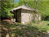
From the dilapidated forestry hut at Jelova Ruji we return to the intersection. The bend can be cut by the marked shortcut. At the intersection we continue left. At first the road leads through the forest and ascends evenly. The forest gradually thins and we get some views towards Debeli Kuk and the surrounding peaks. The road is then carved into interesting rocks. When the rocks on the right end, we make a bend between dolines and return to the forest. From the first bend there is a nice view towards Stap. After approximately 50 minutes of ascent we arrive at a bend where we leave the road and head in the direction of Šugarska duliba. Continuing on the road we reach Panos in 20 minutes. The path begins to descend through the forest. After 10 minutes we arrive at a rocky section of the path where we carefully follow the markings. After 5 minutes of walking on rocks the path levels out and we arrive at grassy slopes. After a short ascent to a smaller peak we descend slightly again into the forest. The path crosses the northern slope of elevation 1262. In between, the path through Samari and Smrčova dolina joins almost imperceptibly (mentioned in the access description to the starting point). After that the path descends slightly into a forest doline and then ascends past a larger cave which is to the right of the path. Soon we arrive in level terrain and leave the forest for the grassy slopes of the nearby peak Brdašce. We have approximately 5 minutes of walking to the mentioned peak. The path crosses another short stretch of forest, after which a barely visible track and cairn branch off to the right marking a shortcut leading to Veliki Stolac. The path crosses the southern and western grassy slope of Veliki Stolac, then returns to the forest and begins to descend transversely. After approximately half an hour of crossing the slope we arrive at a marked junction by a stone monument. From the left the path from Križac joins us. We continue straight and in a few minutes we are at the right turn for Veliki Stolac. We continue straight and after a short ascent through forest and meadow we arrive at Šugarska duliba.
Description and photos refer to the situation in May 2026.

Photos:
 1
1 2
2 3
3 4
4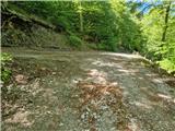 5
5 6
6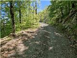 7
7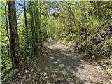 8
8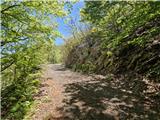 9
9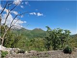 10
10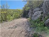 11
11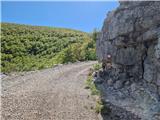 12
12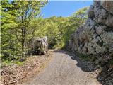 13
13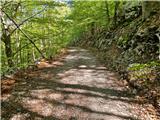 14
14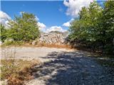 15
15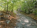 16
16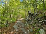 17
17 18
18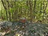 19
19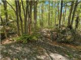 20
20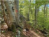 21
21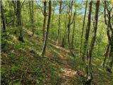 22
22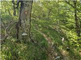 23
23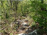 24
24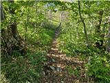 25
25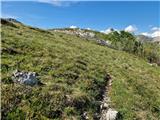 26
26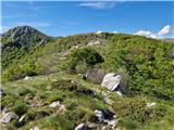 27
27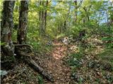 28
28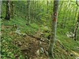 29
29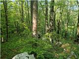 30
30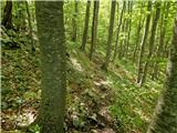 31
31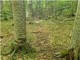 32
32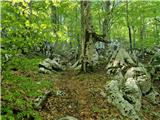 33
33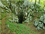 34
34 35
35 36
36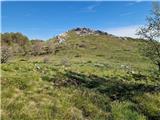 37
37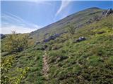 38
38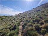 39
39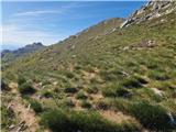 40
40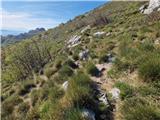 41
41 42
42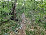 43
43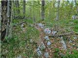 44
44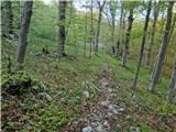 45
45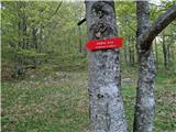 46
46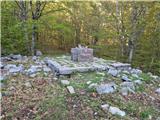 47
47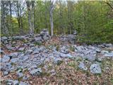 48
48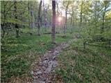 49
49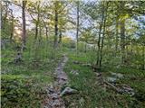 50
50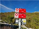 51
51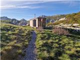 52
52
Discussion about the trip Jelova Ruja - Planinsko zavetišče Šugarska duliba
To post a comment you must log in:
If you do not yet have a username, you must first
register.