Mošćenice - Brgud (along the marked trail and past Perun)
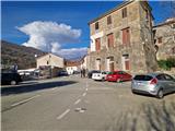
Starting point: Mošćenice (160 m)
| Latitude/Longitude: | 45,22650°N 14,24847°E |
| |
Route name: along the marked trail and past Perun
Walking time: 3 h 55 min
Difficulty: easy marked way, easy unmarked way
Elevation gain: 747 m
Elevation difference along the route: 830 m
Map:
Recommended equipment (summer):
Recommended equipment (winter): crampons
Views: 44
 | 1 person like this post |
Access to starting point:
Via the Jelšane or Pasjak border crossing, we drive onto the motorway towards Rijeka. We leave the motorway at the Opatija junction and continue on the expressway towards Pula, which we exit at the first Opatija exit. Follow the signs for Lovran. We drive along the coastal road to Mošćenička Draga, where at the intersection we turn slightly right towards Mošćenice. We can park at the parking lot in Mošćenice or lower down by the road.
Route description:
From the starting point we continue along the road past the Perun inn and soon a sign directs us right onto the path. After a short ascent between houses it brings us to a junction, where we continue left on the marked path. Right path past Sveti Križ to Kalvarija. The path ascends gently and is rocky in places. The path crosses the road, where on the right we spot a small chapel. Continuing we walk on a wider path offering nice views of the sea and Cres island. Soon we step onto an asphalt road that makes a hairpin. We walk through the hamlet Rovini and when it ends, wooden signs direct us right onto the path. Initially we walk along a dry-stone wall, then up stairs and under a power line to a meadow. After about 15 minutes ascent on the grassy path we arrive at the Christ the King chapel in the hamlet Marići. From the right the previously mentioned path past Kalvarija joins us. Then we step onto an asphalt road leading us through a fenced hamlet. After a longer ascent we briefly leave the road and take a marked shortcut back to the road and into the hamlet Mihani. Signs direct us right onto the path. We bypass the last house on the left and enter the forest. The path ascends slightly to the road, where there is a marked junction. Left on the road to Kremenjak, we continue straight ahead on the path. After 15 minutes of gentle path we arrive at the Zavjetna chapel of the Sacred Heart of Jesus, next to which there is a bench. We continue ahead on the path, which ascends unevenly. Higher the path leads on the left side above a small gully, then turns left onto a scenic meadow. After about half an hour ascent from the chapel we step onto the road, which we follow right. Straight marked path to Perun or towards the Učka ridge. From here the path is no longer marked. Soon a path branches right to a small viewpoint from where the Rijeka Gulf and Cres island are visible. After 20 minutes walking on the eastern slope of Perun we arrive at a turning point, where we turn left onto the ridge. After a few minutes it brings us to a junction, where nearby is a small pond. Here we step back onto the marked path. Straight along the ridge to Perun, another 15 minutes, we continue right. The path begins to descend transversely and in 10 minutes walking we arrive at the road. After a few steps we reach a junction, where the previously mentioned marked path bypassing Perun joins from opposite, we turn right. The path leads past a hunting observation post and slightly descends after it. The path then turns right and enters dense forest. Continuing we walk across a short grassy section and soon we are at the saddle or main Učka ridge. Straight path leads to Vojak via Mala Učka and Podmaj, we continue left. On a gentle scenic path that becomes somewhat steeper towards the end, in 20 minutes we reach the scenic summit Balin.
From the summit we continue along the grassy ridge and descend to a small saddle, where we step onto the road. Then the path cuts a small bend and we arrive at the chapel seen on the right side. Along the flat road in a few minutes we reach Lovska koča Perun and then the information board about the hawk observation post. Through a short patch of woodland we arrive past a bench with table to the monument and logbook box for Brgud. To the very summit of Brgud a short descent and ascent remains to the unmarked shrub-covered summit located somewhat right of the marked path.
Description and photos refer to the status in January 2026.

Along the route: Rovini (300m), Kapelica Krista Kralja (415m), Marići (420m), Mihani (490m), Zavjetna kapelica Srca Jezusovega (570m),
Balin (887m)
Photos:
 1
1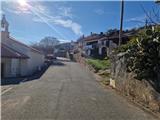 2
2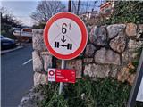 3
3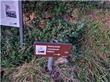 4
4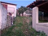 5
5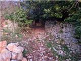 6
6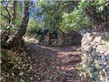 7
7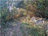 8
8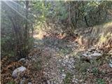 9
9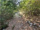 10
10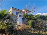 11
11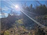 12
12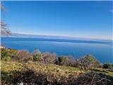 13
13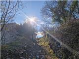 14
14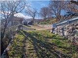 15
15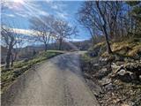 16
16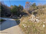 17
17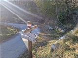 18
18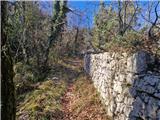 19
19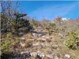 20
20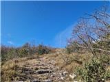 21
21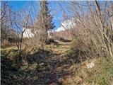 22
22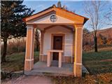 23
23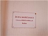 24
24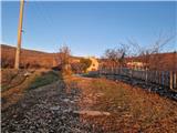 25
25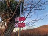 26
26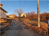 27
27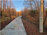 28
28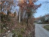 29
29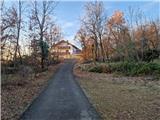 30
30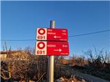 31
31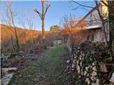 32
32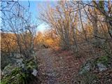 33
33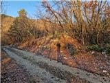 34
34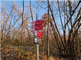 35
35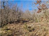 36
36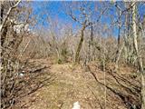 37
37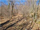 38
38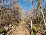 39
39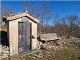 40
40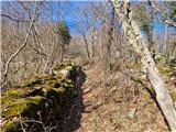 41
41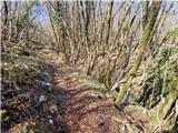 42
42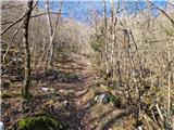 43
43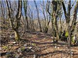 44
44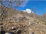 45
45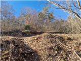 46
46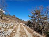 47
47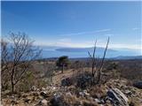 48
48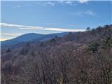 49
49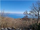 50
50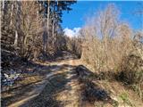 51
51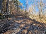 52
52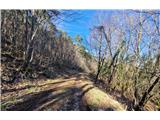 53
53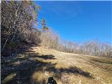 54
54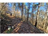 55
55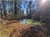 56
56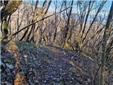 57
57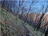 58
58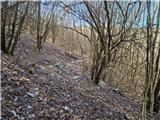 59
59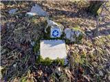 60
60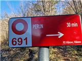 61
61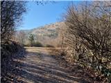 62
62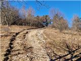 63
63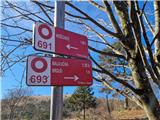 64
64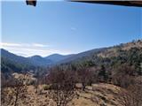 65
65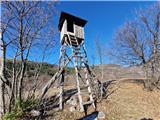 66
66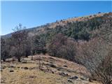 67
67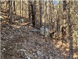 68
68 69
69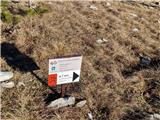 70
70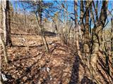 71
71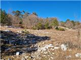 72
72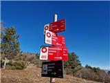 73
73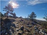 74
74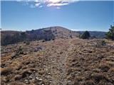 75
75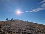 76
76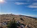 77
77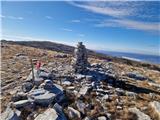 78
78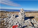 79
79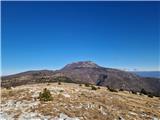 80
80 81
81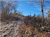 82
82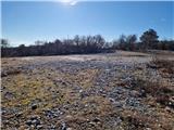 83
83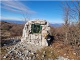 84
84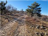 85
85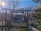 86
86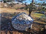 87
87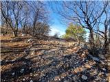 88
88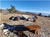 89
89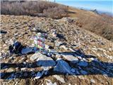 90
90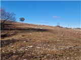 91
91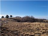 92
92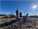 93
93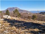 94
94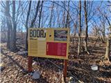 95
95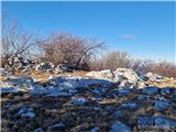 96
96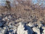 97
97
Discussion about the trip Mošćenice - Brgud (along the marked trail and past Perun)
To post a comment you must log in:
If you do not yet have a username, you must first
register.