Mala Učka - Suhi vrh (Učka)
Starting point: Mala Učka (985 m)
| Latitude/Longitude: | 45,27571°N 14,19674°E |
| |
Walking time: 1 h 15 min
Difficulty: easy marked way
Elevation gain: 350 m
Elevation difference along the route: 370 m
Map:
Recommended equipment (summer):
Recommended equipment (winter):
Views: 45
 | 1 person like this post |
Access to starting point:
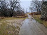
Through the border crossing Jelšane or Pasjak we drive onto the highway towards Rijeka. We leave the highway at the Opatija junction and drive along the expressway towards Pula, which we leave at the Veprinac exit. We follow the steep road into the village, where we turn left. Along the ascending and winding road we drive over the Poklon pass and Peruč to the place Vela Učka, where at a small chapel we turn left onto a narrower road in the direction of Mala Učka. The road initially ascends through a pine forest, then leads between meadows to Mala Učka. From the main road it is approximately 4 km to the starting point. We park at the mountain signposts for Učka or a little earlier along the road.
Route description:
From the starting point we continue in the direction of Vojak, Suhi vrh and Poklon. The path leads us over a small bridge and ascends steeply along a logging road. After a few steep bends the logging road gradually turns into a path. We walk through the forest, then among junipers and arrive at a small plain. The path begins to ascend steeply and turns left. The path crosses the western slope of Suhi vrh. After a good 10 minutes of crossing we leave the dense forest and move onto grassy slopes overgrown with juniper. The path becomes somewhat more sandy. Further on the path is somewhat overgrown with juniper. When we see the summit of Vojak we are already close to the saddle. At the saddle between Vojak and Suhi vrh there are benches and signposts. From the left the path from the Peruč pass joins us and from the right the path from the coast. We continue sharply right in the direction of Suhi vrh. The path ascends steeply over a grassy slope. Further on the path ascends gently to the grassy pre-summit of Suhi vrh. In between a barely noticeable unmarked trail branches off to the right towards Argun (southern part of Suhi vrh). A steep descent through the forest follows, where we carefully follow the markings. The path turns right and in 5 minutes we arrive at the viewpoint where the summit register is located. We continue left along the marked path and in 3 minutes arrive at the rocks on Suhi vrh, which is overgrown with forest.
Description and photos refer to the situation in February 2026.

Photos:
 1
1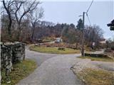 2
2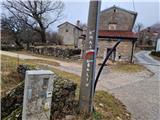 3
3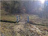 4
4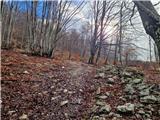 5
5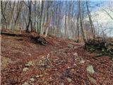 6
6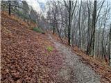 7
7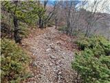 8
8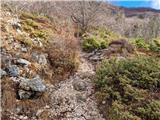 9
9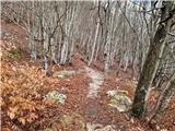 10
10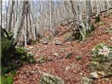 11
11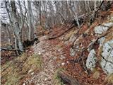 12
12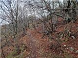 13
13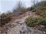 14
14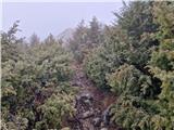 15
15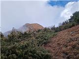 16
16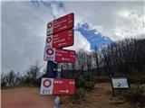 17
17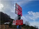 18
18 19
19 20
20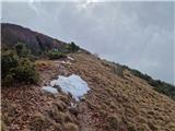 21
21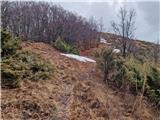 22
22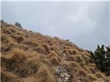 23
23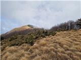 24
24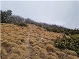 25
25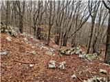 26
26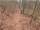 27
27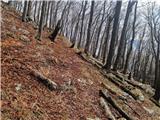 28
28 29
29 30
30 31
31 32
32
Discussion about the trip Mala Učka - Suhi vrh (Učka)
To post a comment you must log in:
If you do not yet have a username, you must first
register.