Legen (odcep za Trško goro) - Mala Kopa (eastern path)
Starting point: Legen (odcep za Trško goro) (690 m)
| Latitude/Longitude: | 46,49265°N 15,15253°E |
| |
Route name: eastern path
Walking time: 2 h 45 min
Difficulty: easy unmarked way
Elevation gain: 834 m
Elevation difference along the route: 850 m
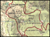
Map:
Recommended equipment (summer):
Recommended equipment (winter): ice axe, crampons
Views: 36
 | 1 person like this post |
Access to starting point:
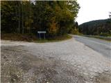
We drive to Slovenj Gradec, then follow the signs for Kope. We continue through the settlement of Legen, where we also pass the sign for the end of the settlement, but the houses along the road continue for a while. At the end of the valley the road starts to visibly ascend and turns right. Immediately after the bend we reach a junction, where a forest road branches off to the left leading towards the partisan hospital Trška gora. Here the described path begins, and we park the car a little higher at a suitable spot along the road, as there are no designated parking spaces at the junction.
Route description:
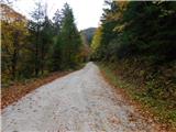
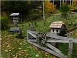
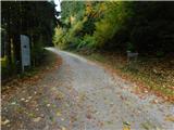
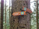
From the starting point we continue along the gravel road, along which there are signs for the partisan hospital. We continue ascending transversely through the forest and follow the blue-yellow markings, which are the symbol for the Path of Couriers and Signalers. Higher up, below Cajnska vila, which is located slightly off the path by the stream, we cross the Porodnica stream, then past the Jauh homestead we ascend to the point where the signs for Paučkove partisan hospitals direct us left onto a trail. Along it we quickly reach the first of three restored huts of the former hospital, while the second and third are located only a minute or two further.
After viewing the interior of the huts we must make sure to firmly close the entrance doors.
From the huts it is best to return to the road (from the huts onwards the old route of the path leads), then we ascend along the road to a small saddle located by Planeški vrh. There is also a junction of several roads, and we choose the "main" right-hand road.
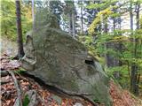
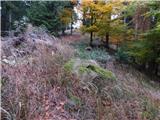
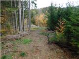
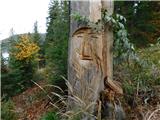
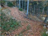
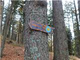
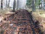
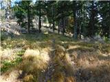
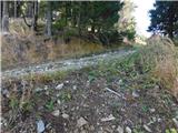
From the wider road we immediately turn right onto a cart track that crosses the slopes to the right, then sharply left onto a skid trail that quickly ends. The path ahead ascends steeply, and through the forest we follow the blue-yellow markings. The steep ascent ends at an unnamed peak, where we reach a cart track along which we continue. A little further we also cross a gravel road, then continue ascending along forest skid trails, where at several junctions we follow the markings, and in between we also briefly descend slightly for a short time. Further on the path becomes steeper again, and near the Partizanski dom we reach a wider path, which we follow to the right, and along it we quickly arrive at Partizanski dom Kope.
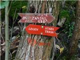
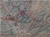
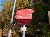
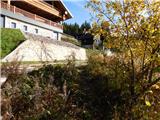
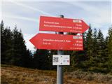
We bypass the hut on the right, southern side and reach the parking area, where we notice red mountain direction signs. We continue transversely upwards above the parking area and ascend to the right, where we soon reach a somewhat wider path, which we reach by the settlement of holiday houses.
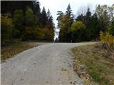
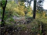
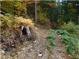
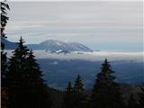
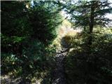
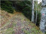
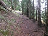
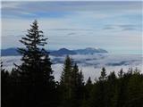
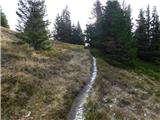
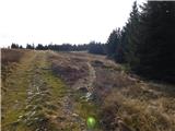
The path ahead leads into the forest and ascends moderately. When we leave the forest we reach a gravel road, and here we leave the markings and continue sharply left (slightly right Velika Kopa and Grmovškov dom pod Veliko Kopo). We continue walking along the gentle gravel road, which in a few minutes brings us to the scenic and indistinct summit of Mala Kopa.
Starting point - Partizanska bolnica Trška gora 0:55, Partizanska bolnica Trška gora - sedlo ob Planeškem vrhu 0:15, sedlo ob Planeškem vrhu - Partizanski dom 1:20, Partizanski dom - Mala Kopa 0:15.
The description and photos refer to the situation in July 2025 and October 2026.
Photos:
 1
 2
 3
 4
 5
 6
 7
 8
 9
 10
 11
 12
 13
 14
 15
 16
 17
18
 19
 20
 21
 22
 23
 24
 25
 26
 27
 28
 29
 30
 31
 32
 33
 34
 35
 36
 37
 38
 39
 40
 41
 42
 43
 44
 45
 46
 47
 48
Discussion about the trip Legen (odcep za Trško goro) - Mala Kopa (eastern path)
To post a comment you must log in:
If you do not yet have a username, you must first
register.