Starting point: Boharina (450 m)
| Latitude/Longitude: | 46,39172°N 15,37382°E |
| |
Walking time: 3 h 55 min
Difficulty: easy marked way
Elevation gain: 1067 m
Elevation difference along the route: 1067 m
Map: Pohorje 1:50.000
Recommended equipment (summer):
Recommended equipment (winter): ice axe, crampons
Views: 101
 | 1 person like this post |
Access to starting point:
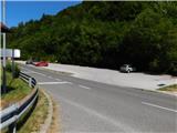
We drive to Zreče and then follow the road towards Rogla. After Zreče we arrive in the settlement Loška Gora. Immediately after the road sign marking the end of the settlement Loška Gora, we notice a parking lot on the right side where we park. The parking lot on the left side of the road is reserved for guests of the Hotel and Restaurant Pod Rogla.
Route description:
From the parking lot we first carefully cross the main road Zreče–Rogla and head onto a side road marked with signs for the beginning of the settlement Boharina and red mountain direction signs for Resnik and Rogla.
The path first bypasses the hotel on the lower side, then we continue fairly gently along the local road that leads us past individual houses in the settlement Boharina, and the path runs along the Dravinja for quite some time. Near the Ošlak farm the mountain signs direct us sharply right onto a steeper road that leads us past a chapel to the Zajdnšek - Črešnar farm, where the road ends.
We continue slightly right, right next to the house, then begin to ascend along a grassy cart track following sparse markings. For some time we ascend through a meadow interrupted by short strips of forest, then the path, which makes a few switchbacks, enters the forest through which it continues to the vicinity of the Gradišnik farm. Here we first leave the forest and walk across part of the pasture to the farmyard, where we reach a gravel road. The road quickly enters the forest and ascends steeply to the neighboring Brdnik farm.
Here we bypass the buildings on the left side; at a small intersection we go straight onto a wider cart track (the gravel road continues left), which higher up returns to the forest and turns right at a cross. A transverse ascent to the right follows through the forest; the path slowly turns left, and the wider cart track then changes into an asphalt road that leads us past a few houses in the settlement Resnik. Here follow a few smaller intersections where we follow the markings, then on the left we already see the church of St. Jakob, which is only a minute from our path.
We continue along the marked path that proceeds northward; higher up it leads us through the settlement Resnik where, above a somewhat more compact part of the settlement, we reach an intersection where we go right and then after a few steps left onto a gravel road marked for Rogla.
An ascent along a scenic ridge follows; before the farm we turn left from the right bend onto a cart track that bypasses the farm on the left side, partly along an overgrown cart track. Above the farm we return to the road where at several successive forks or intersections we follow the markings.
The path continues along the cart track which also has several forks further on; we carefully follow the marked path which higher up continues for some time under the power line route and then also bypasses the tourist settlement on the lower left side. A few more transverse ascents follow, then we carefully cross the main road leading to Rogla. Above the road we first continue along a cart track, then along a somewhat steeper mountain path which higher up also joins another path from Zreče and the path from Oplotnica.
Here we go left and in a few steps reach the Izvir Dravinje.
After the spring we leave the forest and ascend to the summer toboggan run where we go right, then walk to the nearby church of unusual shape.
After the church we carefully cross the main road, then continue right towards Rogla; past the soccer fields the wide path turns into sparse forest through which it then ascends all the way to the viewing tower on Rogla.
Starting point - Resnik 2:00, Resnik - Izvir Dravinje 1:25, Izvir Dravinje - Cerkev Jezusove spremenitve na gori 0:05, Cerkev Jezusove spremenitve na gori 0:05 - Rogla 0:15.
Description and photos refer to the situation in August 2026.

Photos:
 1
1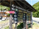 2
2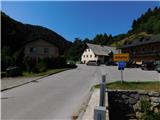 3
3 4
4 5
5 6
6 7
7 8
8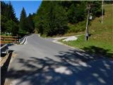 9
9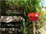 10
10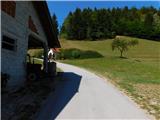 11
11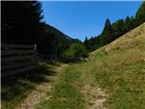 12
12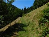 13
13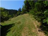 14
14 15
15 16
16 17
17 18
18 19
19 20
20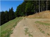 21
21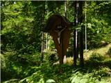 22
22 23
23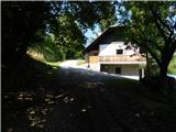 24
24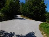 25
25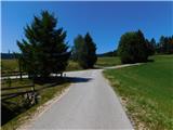 26
26 27
27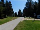 28
28 29
29 30
30 31
31 32
32 33
33 34
34 35
35 36
36 37
37 38
38 39
39 40
40 41
41 42
42 43
43 44
44 45
45 46
46 47
47 48
48 49
49 50
50 51
51 52
52 53
53 54
54 55
55 56
56 57
57 58
58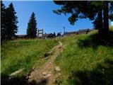 59
59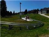 60
60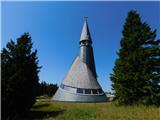 61
61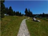 62
62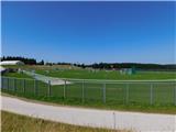 63
63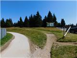 64
64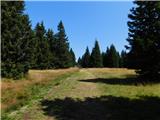 65
65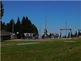 66
66 67
67 68
68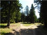 69
69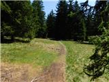 70
70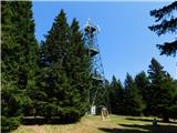 71
71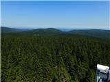 72
72
Discussion about the trip Boharina - Rogla
To post a comment you must log in:
If you do not yet have a username, you must first
register.