Rovte - Vrh Svetih Treh Kraljev (gentle path)
Starting point: Rovte (698 m)
| Latitude/Longitude: | 45,98660°N 14,17740°E |
| |
Route name: gentle path
Walking time: 1 h 30 min
Difficulty: easy marked way
Elevation gain: 186 m
Elevation difference along the route: 350 m
Map:
Recommended equipment (summer):
Recommended equipment (winter):
Views: 7.513
 | 1 person like this post |
Access to starting point:
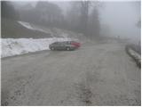
From the highway Ljubljana - Koper, we take the exit Logatec and follow the road to the mentioned settlement. When, after approximately 2 km from the spot where we left the highway, we arrive at an old parallel road, we continue right towards Ljubljana, then after a few 100 m left in the direction towards Žiri. Further, we drive on an occasionally more winding road, which we follow to Rovte, and here at the gas station we turn right. The road further steeply ascends for a short time, then splits into two parts. Here we continue on the left road, which we follow for another few 10 m to a larger macadam parking lot, which is situated below the church of St. Michael in Rovte.
Access is also possible from the direction of Žiri.
Route description:
From the parking lot, we continue on the asphalt road which starts gently descending, and at the end of Rovte it brings us to the marked crossroad, where we continue on the lower left road in the direction of Vrh Svetih Treh Kraljev (right Smrečje and Lavrovec). The road is still descending and past the hamlet Osredek brings us to the river Sovra. For some time we descend along the mentioned river, and then we get to a smaller hamlet, where signs for Vrh Svetih Treh Kraljev point us right onto an ascending road. We follow the road only a few steps, and then blazes point us left onto a footpath which steeply ascends through the forest. Higher, we return to the road, and we walk along it to the beginning of the next hamlet (Hlevni Vrh). Here blazes point us left onto a cart track, on which we quickly get to the nearby quarry and the macadam road there.
We follow the road to the left, which quickly brings us to a marked junction.
We continue straight in the direction of the gentle path (right steep path) and continue the ascent for a short time on the gentle road. A little further, blazes point us right onto a cart track, on which we start moderately ascending. We follow the path, which further ascends gently to moderately, to a marked crossroad, where we join the steep path.
We continue right on the gentle road, which past the "thick linden tree" (debela lipa), located a minute from the path, brings us to the boules court, where we join the asphalt road from Smrečje. We continue on the ascending road, which past Rupnik's Line quickly brings us to the mountain hut on Vrh Svetih Treh Kraljev.
From the mountain hut, we continue on the marked hiking path, which starts steeply ascending through increasingly sparse forest. The path then flattens and brings us to an asphalt road, on which in a few minutes of further walking we arrive at the panoramic peak.

Photos:
 1
1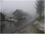 2
2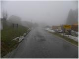 3
3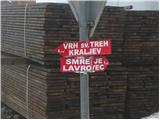 4
4 5
5 6
6 7
7 8
8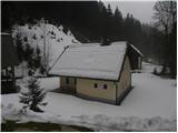 9
9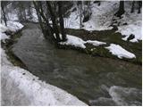 10
10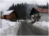 11
11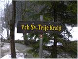 12
12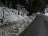 13
13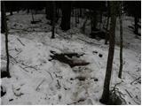 14
14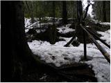 15
15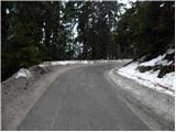 16
16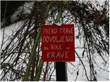 17
17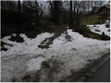 18
18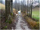 19
19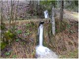 20
20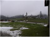 21
21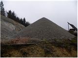 22
22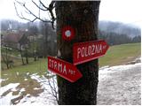 23
23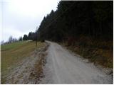 24
24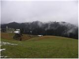 25
25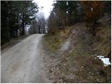 26
26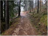 27
27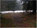 28
28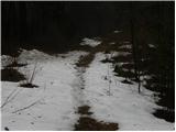 29
29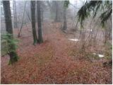 30
30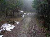 31
31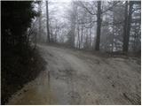 32
32 33
33 34
34 35
35 36
36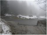 37
37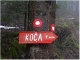 38
38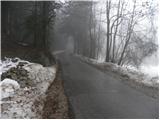 39
39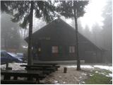 40
40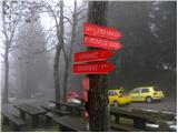 41
41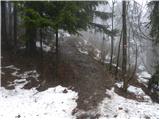 42
42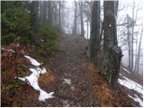 43
43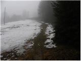 44
44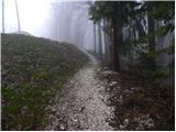 45
45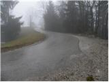 46
46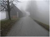 47
47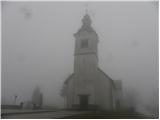 48
48 49
49
Discussion about the trip Rovte - Vrh Svetih Treh Kraljev (gentle path)
|
| Acibujl27. 01. 2025 14:55:21 |
Short but nice excursion, up the steep trail, back on the gentle one. Now there's also a "love bench" at the summit, so you can sit on it and admire the views towards Blegoš, Bohinjske gore, Triglav...
|
|
|
To post a comment you must log in:
If you do not yet have a username, you must first
register.