Bachwinkl - Ingolstädter Haus
Starting point: Bachwinkl (840 m)
| Latitude/Longitude: | 47,44875°N 12,85419°E |
| |
Walking time: 6 h
Difficulty: partly demanding marked way
Elevation gain: 1292 m
Elevation difference along the route: 1600 m
Map:
Recommended equipment (summer):
Recommended equipment (winter): ice axe, crampons
Views: 1.782
 | 3 people like this post |
Access to starting point:
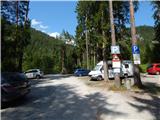
Through the Karawanks Tunnel, we drive to Austria, and then we continue driving on the Tauern highway. Further, we drive through the Katschberg Tunnel and later also the Tauerntunnel; we follow the highway towards Salzburg only to the exit for Bischofshofen, from where we continue driving on a four-lane road towards the already mentioned town. From Bischofshofen we follow the signs for the town Zell am See and then for Saalfelden. Through Saalfelden we continue straight on the main road, a little before the sign which marks the end of the town, we turn right onto a narrow road where the signs »Pabing - Bachwinkel« direct us. When driving through the village we then follow mountain signposts towards the mountain hut Peter Wiechenthaler Hütte. Signposts then direct us to the left onto a macadam road. We park on a large parking lot before the bridge.
Route description:
From the parking lot, we continue on a macadam road which is further closed for traffic. We walk on the mentioned road and at the junctions we follow the signs for the mountain hut Peter Wiechenthaler Hütte. The road in the beginning crosses two streams and then brings us to a gate.
Here we continue right on a footpath and start ascending a little steeper through the forest. Higher, for a short time we rejoin the road, which brings us to a marked junction. At the junction, we continue left on a footpath following the signs »Peter Wiechenthaler Hütte - 412«; further on the road leads the path towards the mountain pasture Steinalm and path 412e (Seilbahnweg) towards the mountain hut Peter Wiechenthaler Hütte.
From the junction, we then ascend mostly in zigzags through the forest from which a view rarely opens towards the town Saalfelden. Higher, the path turns right and then crosses slopes towards the northeast. The path here runs through the forest all the time, and along the path there are occasionally benches that have been given names. Such a path then brings us to a junction at an altitude of 1345 meters.
At the junction we continue slightly right following the signs »Peter Wiechenthaler Hütte - 412«; left lead paths 412a and 412d also towards the mountain hut Peter Wiechenthaler Hütte, right downwards leads path 412e back to the starting point. From the junction our path still crosses slopes towards the northeast for some time, then turns left and starts to ascend a little steeper again. The forest becomes somewhat sparser and from the path views to the nearby peaks begin to open. Higher the forest is replaced by dwarf pines and a few more ascents to the hut follow.
At the hut we continue past the cargo cableway to a junction at which we continue left following the signs »Ingolstädter Haus«; right leads the path to Persailhorn. Further a level path crosses slopes towards the northeast. Soon a path branches off left downwards to the mountain pasture Weißbachlalm, we continue straight and continue crossing slopes below the peaks Persailhorn and Achselhorn. Later the path turns slightly left and in the ascent crosses mostly grassy slopes. At some places where the slope is steeper, a steel cable assists us. Higher the path starts ascending somewhat steeper and with the aid of some fixed protections brings us to the col Weißbachlscharte where there is a junction.
At the col where a view opens to the north we continue straight and start descending; right leads the path to the summit Mitterhorn. Here the path runs along northern slopes towards the east and brings us to a junction. From the col Weißbachlscharte to the mentioned junction we descend approximately 100 meters of elevation.
At the marked junction we continue left towards the mountain hut Ingolstädter Haus, straight leads the path to the mountain hut Kärlinger Haus, sharp right to the mountain hut Riemannhaus. From the junction the path runs towards the northwest and soon descends a little more. Further the path runs on relatively level mostly rocky terrain and occasionally rises and falls slightly. Later the path named Eichstätter Weg turns somewhat left and begins to ascend a shade steeper. Here the path leads past some chasms and soon a view also opens towards the mountain hut Ingolstädter Haus. Such a path then brings us to a junction where left branches the path to the summit Schindlköpfe.
We continue right at the junction and a relatively level crossing to the mountain hut Ingolstädter Haus follows.

Photos:
 1
1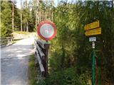 2
2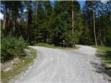 3
3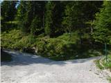 4
4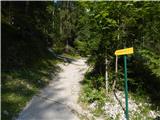 5
5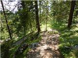 6
6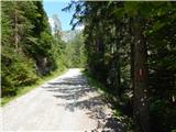 7
7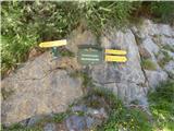 8
8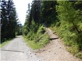 9
9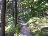 10
10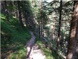 11
11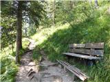 12
12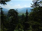 13
13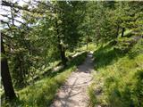 14
14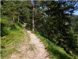 15
15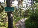 16
16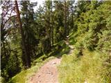 17
17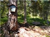 18
18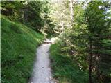 19
19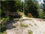 20
20 21
21 22
22 23
23 24
24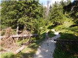 25
25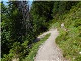 26
26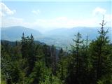 27
27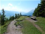 28
28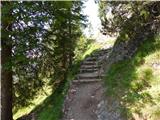 29
29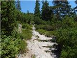 30
30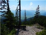 31
31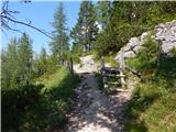 32
32 33
33 34
34 35
35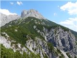 36
36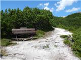 37
37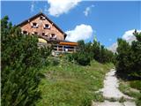 38
38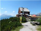 39
39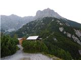 40
40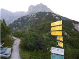 41
41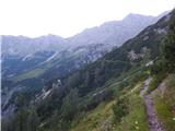 42
42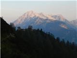 43
43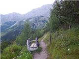 44
44 45
45 46
46 47
47 48
48 49
49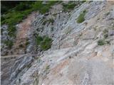 50
50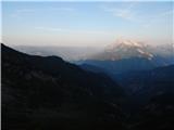 51
51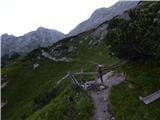 52
52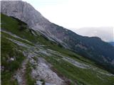 53
53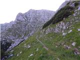 54
54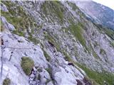 55
55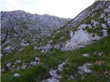 56
56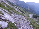 57
57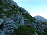 58
58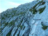 59
59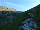 60
60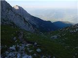 61
61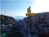 62
62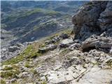 63
63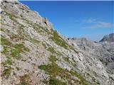 64
64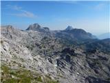 65
65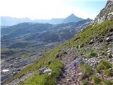 66
66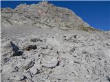 67
67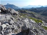 68
68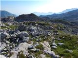 69
69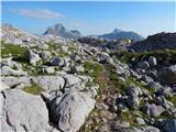 70
70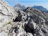 71
71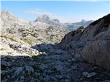 72
72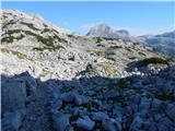 73
73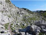 74
74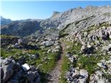 75
75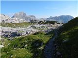 76
76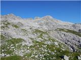 77
77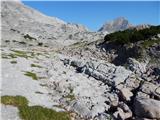 78
78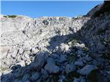 79
79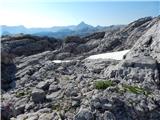 80
80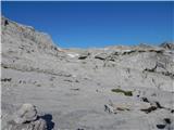 81
81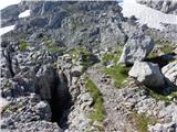 82
82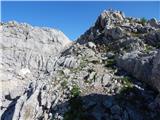 83
83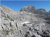 84
84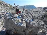 85
85 86
86 87
87 88
88 89
89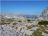 90
90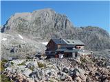 91
91
Discussion about the trip Bachwinkl - Ingolstädter Haus
To post a comment you must log in:
If you do not yet have a username, you must first
register.