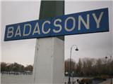
Badacsony - Badacsony (south path)
Starting point: Badacsony (105 m)
Route name: south path
Walking time: 1 h
Difficulty: easy marked way
Elevation gain: 333 m
Elevation difference along the route: 333 m
Map:
Recommended equipment (summer):
Recommended equipment (winter):
Views: 2.943
 | 2 people like this post |
Access to starting point:
From the Pomurska motorway, we take the Dolga Vas exit, then continue driving towards Hungary. The route then takes us through the town of Redics, then we follow the signs for the town of Zalaegerszeg, from there towards Blatno Lake / Balaton, Heviz and Keszthely. When we arrive in the town of Keszthely, we turn onto the bypass and then follow the signs for Balatonfüred (there are roundabouts along the bypass). When the road to the town of Sopron branches off at the end of Keszthely, we continue eastwards and arrive in Badacsony (Badacsony is a kind of suburb of Badacsonytomaj). We park at the parking lot for the MOL petrol station (in the summer months the parking lot is paid!) or somewhere nearby in a suitable parking spot.
A somewhat shorter route is Lendava - Pince - Tornyszentmiklos - Nagykanizsa - Balatonszentgyörgy exit - Keszthely, but it is orientationally much more difficult.
Route description:
The trail officially starts at MOL, where there is a boat harbor and from which our goal is visible, but since we parked at the arranged parking lot, our trail starts there.
From the parking lot we return to the main road and then across the railway line slightly uphill (here we will notice markings in the form of a yellow line). The path continues through the streets of Badacsony and further through the park through which it moderately ascends. Above the park at the intersection we continue left, at the next one right. Further on the road becomes somewhat steeper and takes us to the next intersection, where we go right again to the nearby restaurant Kisfaludi Haz (we can also reach here by car, but the parking is paid).
We continue on the path that higher up takes us to the place where we join the path that circles the volcano (here the path with yellow markings ends and we join the path with red markings - the red path circles the volcano and runs at an altitude of around 300 m). We follow the mentioned path to the right, which takes us past a rest area, after which it begins to ascend, to a marked junction. At the mentioned junction we leave the path marked red line and continue left on the path that is further marked with a red triangle. The path ahead becomes steeper and starts ascending on stone steps and takes us past the monument to Bishop Ferenc Hertelendy, to the place where the path from the western direction joins us from the left. We ascend the steps for some time longer, then they end and the path levels out. The path further takes us past a shelter, where an unmarked path from the previously mentioned western path joins us from the left. We continue right towards the east on a slightly ascending path, along which we quickly reach the summit of Badacsony.
From the summit we can, at our own risk, climb to the viewpoint tower, from which a view opens up reaching as far as Donačka gora, Boč, Ivanščica, Ravna gora and Pohorje.

Photos:
 1
1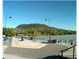 2
2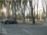 3
3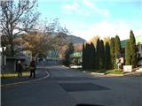 4
4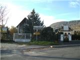 5
5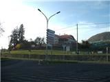 6
6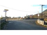 7
7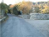 8
8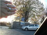 9
9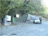 10
10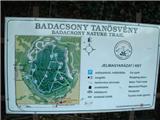 11
11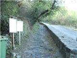 12
12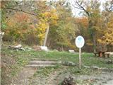 13
13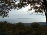 14
14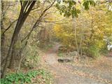 15
15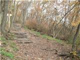 16
16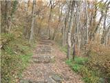 17
17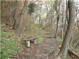 18
18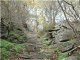 19
19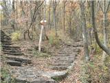 20
20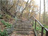 21
21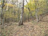 22
22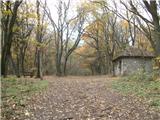 23
23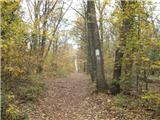 24
24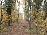 25
25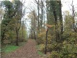 26
26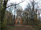 27
27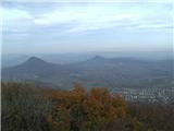 28
28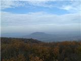 29
29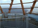 30
30
Discussion about the trip Badacsony - Badacsony (south path)
To post a comment you must log in:
If you do not yet have a username, you must first
register.