Badacsonytomaj / Csangoi Dülő - Gulacs (southern path)
Starting point: Badacsonytomaj / Csangoi Dülő (162 m)
Route name: southern path
Walking time: 40 min
Difficulty: easy marked way
Elevation gain: 231 m
Elevation difference along the route: 231 m
Map:
Recommended equipment (summer):
Recommended equipment (winter):
Views: 1.881
 | 1 person like this post |
Access to starting point:
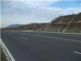
From the Pomurska motorway, we turn off at the Dolga Vas exit, then continue driving towards Hungary. The route further leads us through the town of Redics, then we follow the signs for the town of Zalaegerszeg, from there in the direction of Blatno jezero / Balaton, Heviz and Keszthely. When we arrive at the town of Keszthely, we turn onto the bypass and then follow the signs for Balatonfuered (there are roundabouts along the bypass). When the road to the town of Sopron branches off at the end of Keszthely, we continue east, but only 2 km, then turn right towards the village of Badacsonytoerdemic. We continue through the village (the road in the middle of the village is cobblestoned). After exiting the village, we take the first junction to the right in the eastern direction. The road will become a four-lane road. At the place where the slight ascent ends, there will be a narrower road on the left going uphill to the north. This is the start of our path. Leave the car in a suitable place nearby.
A somewhat shorter route is Lendava - Pince - Tornyszentmiklos - Nagykanizsa - Balatonszentgyörgy exit - Keszthely, but it is orientationally much more difficult.
Route description:
From the main four-lane road we continue uphill among vineyards and wine cellars. At the first crossroads we go right, at the second straight on (the part of the path between the two crossroads is gravelled). Further on, the road changes into a cart track and leads us to the forest entrance. We follow the cart track through the forest for only one minute, then continue left along a somewhat narrower trail. The path ahead climbs steeply for some time, then flattens out and further on even slightly descends.
Further on we arrive at a place where we continue left (straight to Kaptalantoti) towards the top of Gulacs. A short somewhat steeper ascent follows and we join the path from the village Nemesgulacs (the path is marked with a green line).
Here too we continue left and further on we ascend increasingly to the right. Higher up the path leads us across a basalt scree field, after which we gradually arrive at the southern side of the summit. Further on the markers are rarer, but since there are no more junctions orientation is no problem. The path further takes us from the south to the west side, higher up also to the northern slope. A short steep ascent follows and the path takes us to the summit of Gulacs, from which a view opens to the volcano Szentgyörgyhegy and in the background the Keszthely hills.

Photos:
 1
1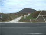 2
2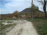 3
3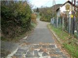 4
4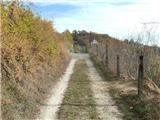 5
5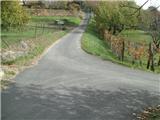 6
6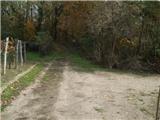 7
7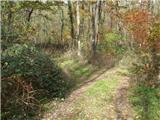 8
8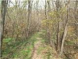 9
9 10
10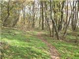 11
11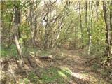 12
12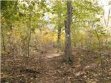 13
13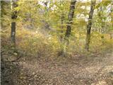 14
14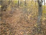 15
15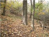 16
16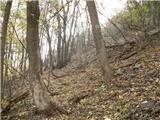 17
17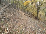 18
18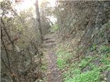 19
19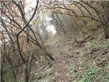 20
20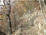 21
21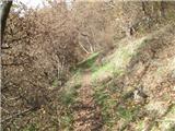 22
22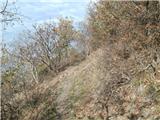 23
23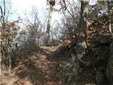 24
24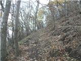 25
25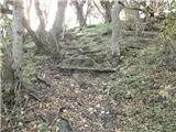 26
26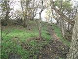 27
27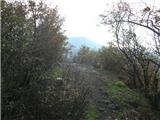 28
28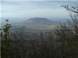 29
29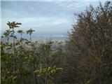 30
30
Discussion about the trip Badacsonytomaj / Csangoi Dülő - Gulacs (southern path)
To post a comment you must log in:
If you do not yet have a username, you must first
register.